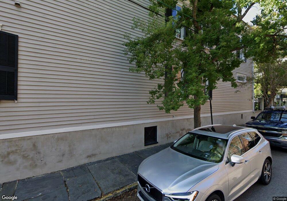
130 Broad St Charleston, SC 29401
Harleston Village NeighborhoodEstimated Value: $2,703,000 - $2,951,000
4
Beds
3
Baths
3,336
Sq Ft
$846/Sq Ft
Est. Value
About This Home
This home is located at 130 Broad St, Charleston, SC 29401 and is currently estimated at $2,820,853, approximately $845 per square foot. 130 Broad St is a home located in Charleston County with nearby schools including Memminger Elementary School, Simmons Pinckney Middle, and Burke High School.
Ownership History
Date
Name
Owned For
Owner Type
Purchase Details
Closed on
Jun 25, 2013
Sold by
Knott Diane L
Bought by
Furr Samuel N and Furr June E
Current Estimated Value
Home Financials for this Owner
Home Financials are based on the most recent Mortgage that was taken out on this home.
Original Mortgage
$415,000
Outstanding Balance
$96,367
Interest Rate
3.59%
Mortgage Type
New Conventional
Estimated Equity
$2,724,486
Purchase Details
Closed on
Aug 13, 2010
Sold by
The Noisette Company Llc
Bought by
Knott Diane L
Home Financials for this Owner
Home Financials are based on the most recent Mortgage that was taken out on this home.
Original Mortgage
$25,000
Interest Rate
4.6%
Mortgage Type
Seller Take Back
Create a Home Valuation Report for This Property
The Home Valuation Report is an in-depth analysis detailing your home's value as well as a comparison with similar homes in the area
Home Values in the Area
Average Home Value in this Area
Purchase History
| Date | Buyer | Sale Price | Title Company |
|---|---|---|---|
| Furr Samuel N | $1,193,500 | -- | |
| Knott Diane L | $145,000 | -- |
Source: Public Records
Mortgage History
| Date | Status | Borrower | Loan Amount |
|---|---|---|---|
| Open | Furr Samuel N | $415,000 | |
| Previous Owner | Knott Diane L | $25,000 |
Source: Public Records
Tax History Compared to Growth
Tax History
| Year | Tax Paid | Tax Assessment Tax Assessment Total Assessment is a certain percentage of the fair market value that is determined by local assessors to be the total taxable value of land and additions on the property. | Land | Improvement |
|---|---|---|---|---|
| 2024 | $7,206 | $52,540 | $0 | $0 |
| 2023 | $6,634 | $52,540 | $0 | $0 |
| 2022 | $6,254 | $52,540 | $0 | $0 |
| 2021 | $6,569 | $52,540 | $0 | $0 |
| 2020 | $6,819 | $52,540 | $0 | $0 |
| 2019 | $6,789 | $51,400 | $0 | $0 |
| 2017 | $6,545 | $51,400 | $0 | $0 |
| 2016 | $6,262 | $51,400 | $0 | $0 |
| 2015 | $6,026 | $47,740 | $0 | $0 |
| 2014 | $5,883 | $0 | $0 | $0 |
| 2011 | -- | $0 | $0 | $0 |
Source: Public Records
Map
Nearby Homes
- 143 Broad St
- 146 Broad St Unit B
- 67 Legare St Unit 307
- 41 Legare St Unit B
- 12 Orange St
- 6 Orange St
- 7 Logan St Unit F
- 83 King St
- 125 Tradd St
- 155 Queen St Unit A
- 155 Queen St Unit B
- 153 Queen St
- 69 King St
- 4 Trapman St Unit B
- 4 Trapman St Unit A
- 156 Tradd St Unit E
- 176 Broad St
- 14 Limehouse St
- 13 Trumbo St
- 6 Rutledge Ave
- 134 Broad St
- 63 Legare St
- 63 Legare St Unit A
- 136 Broad St
- 136 Broad St
- 136 Broad St Unit 1/2
- 65 Legare St
- 138 Broad St Unit D
- 138 Broad St Unit C
- 138 Broad St Unit B
- 131 Broad St
- 66 Legare St
- 125 Broad St
- 135 Broad St
- 135 Broad St Unit B
- 135 Broad St Unit A
- 133 Broad St
- 68 Legare St
- 140 Broad St
- 59 Legare St