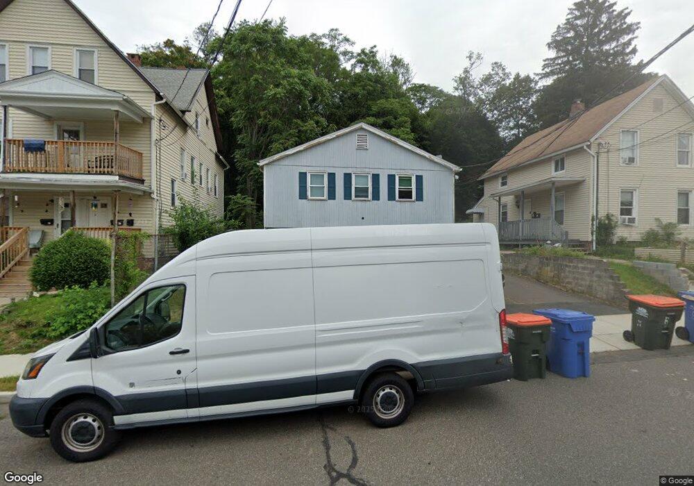
130 Bunker Ave Meriden, CT 06450
Estimated Value: $327,936 - $376,000
4
Beds
4
Baths
1,820
Sq Ft
$193/Sq Ft
Est. Value
About This Home
This home is located at 130 Bunker Ave, Meriden, CT 06450 and is currently estimated at $350,484, approximately $192 per square foot. 130 Bunker Ave is a home located in New Haven County with nearby schools including Nathan Hale Elementary School, Francis T. Maloney High School, and Chase Collegiate School.
Ownership History
Date
Name
Owned For
Owner Type
Purchase Details
Closed on
Nov 29, 2010
Sold by
Us Bank Na Tr
Bought by
Guodace Ronald A and Guodace Timothy J
Current Estimated Value
Purchase Details
Closed on
Feb 2, 2010
Sold by
Aiken Sharon L
Bought by
Us Bk
Purchase Details
Closed on
May 27, 2003
Sold by
Barberino Donald and Barberino David
Bought by
Jones Dedric
Create a Home Valuation Report for This Property
The Home Valuation Report is an in-depth analysis detailing your home's value as well as a comparison with similar homes in the area
Home Values in the Area
Average Home Value in this Area
Purchase History
| Date | Buyer | Sale Price | Title Company |
|---|---|---|---|
| Guodace Ronald A | $60,000 | -- | |
| Us Bk | -- | -- | |
| Jones Dedric | $111,600 | -- |
Source: Public Records
Mortgage History
| Date | Status | Borrower | Loan Amount |
|---|---|---|---|
| Closed | Jones Dedric | $110,000 | |
| Previous Owner | Jones Dedric | $156,600 | |
| Previous Owner | Jones Dedric | $126,000 |
Source: Public Records
Tax History Compared to Growth
Tax History
| Year | Tax Paid | Tax Assessment Tax Assessment Total Assessment is a certain percentage of the fair market value that is determined by local assessors to be the total taxable value of land and additions on the property. | Land | Improvement |
|---|---|---|---|---|
| 2025 | $4,840 | $127,680 | $34,440 | $93,240 |
| 2024 | $4,917 | $127,680 | $34,440 | $93,240 |
| 2023 | $4,739 | $127,680 | $34,440 | $93,240 |
| 2022 | $4,471 | $127,680 | $34,440 | $93,240 |
| 2021 | $4,961 | $113,960 | $35,700 | $78,260 |
| 2020 | $4,947 | $113,960 | $35,700 | $78,260 |
| 2019 | $7,642 | $113,960 | $35,700 | $78,260 |
| 2018 | $4,924 | $113,960 | $35,700 | $78,260 |
| 2017 | $4,793 | $113,960 | $35,700 | $78,260 |
| 2016 | $4,324 | $108,920 | $24,990 | $83,930 |
| 2015 | $4,223 | $108,920 | $24,990 | $83,930 |
| 2014 | $4,120 | $108,920 | $24,990 | $83,930 |
Source: Public Records
Map
Nearby Homes
- 33 Prescott St
- 23 Howe St
- 465 Pratt Street Extension
- 22 Webster St
- 52 Webster St
- 393 Center St
- 387 Colony St
- 51 Griswold St
- 145 Camp St
- 760 Broad St
- 246 Pratt St
- 131 Converse Ave
- 129 Orchard St
- 112 Hobart St
- 250 Pratt St
- 8 Howard Ave
- 618 Blackstone Village
- 19 Blackstone St
- 181 Hicks St Unit 2C
- 301 Wall St
- 136 Bunker Ave
- 126 Bunker Ave
- 140 Bunker Ave
- 122 Bunker Ave
- 146 Bunker Ave
- 118 Bunker Ave
- 129 Bunker Ave
- 18 Bunker Hill St
- 135 Bunker Ave
- 123 Bunker Ave
- 141 Bunker Ave
- 110 Bunker Ave
- 30 Hinman St
- 111 Bunker Ave
- 154 Bunker Ave
- 149 Bunker Ave
- 22 Hinman St
- 108 Bunker Ave
- 108 Bunker Ave Unit FL 1
- 20 Hinman St