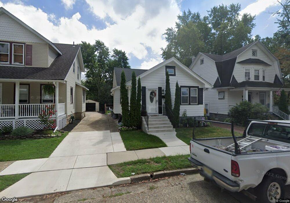
130 Cornell Rd Audubon, NJ 08106
Estimated Value: $306,911 - $382,000
--
Bed
--
Bath
1,228
Sq Ft
$276/Sq Ft
Est. Value
About This Home
This home is located at 130 Cornell Rd, Audubon, NJ 08106 and is currently estimated at $338,978, approximately $276 per square foot. 130 Cornell Rd is a home located in Camden County with nearby schools including Haviland Avenue School, Mansion Avenue School, and Audubon Junior/Senior High School.
Ownership History
Date
Name
Owned For
Owner Type
Purchase Details
Closed on
Jan 31, 1997
Sold by
Entenmann Lloyd L
Bought by
Hyland George H and Hyland Melinda L
Current Estimated Value
Home Financials for this Owner
Home Financials are based on the most recent Mortgage that was taken out on this home.
Original Mortgage
$84,000
Outstanding Balance
$9,685
Interest Rate
7.78%
Mortgage Type
FHA
Estimated Equity
$329,293
Create a Home Valuation Report for This Property
The Home Valuation Report is an in-depth analysis detailing your home's value as well as a comparison with similar homes in the area
Home Values in the Area
Average Home Value in this Area
Purchase History
| Date | Buyer | Sale Price | Title Company |
|---|---|---|---|
| Hyland George H | $83,900 | -- |
Source: Public Records
Mortgage History
| Date | Status | Borrower | Loan Amount |
|---|---|---|---|
| Open | Hyland George H | $84,000 |
Source: Public Records
Tax History Compared to Growth
Tax History
| Year | Tax Paid | Tax Assessment Tax Assessment Total Assessment is a certain percentage of the fair market value that is determined by local assessors to be the total taxable value of land and additions on the property. | Land | Improvement |
|---|---|---|---|---|
| 2025 | $7,957 | $197,100 | $84,000 | $113,100 |
| 2024 | $7,693 | $197,100 | $84,000 | $113,100 |
| 2023 | $7,693 | $197,100 | $84,000 | $113,100 |
| 2022 | $7,488 | $197,100 | $84,000 | $113,100 |
| 2021 | $7,176 | $197,100 | $84,000 | $113,100 |
| 2020 | $7,107 | $197,100 | $84,000 | $113,100 |
| 2019 | $7,013 | $197,100 | $84,000 | $113,100 |
| 2018 | $6,926 | $197,100 | $84,000 | $113,100 |
| 2017 | $6,782 | $197,100 | $84,000 | $113,100 |
| 2016 | $6,605 | $197,100 | $84,000 | $113,100 |
| 2015 | $6,390 | $197,100 | $84,000 | $113,100 |
| 2014 | $6,329 | $197,100 | $84,000 | $113,100 |
Source: Public Records
Map
Nearby Homes
- 210 Carlisle Rd
- 208 E Pine St
- 47 E Kings Hwy
- 233 E Kings Hwy
- 100 3rd Ave
- 229 S Lecato Ave
- 256 S White Horse Pike
- 114 Walnut St
- 656 W Crystal Lake Ave
- 103 White Horse Pike
- 130 Walnut St
- 109 White Horse Pike
- 38 Birchall Dr
- 138 S Haviland Ave
- 218 Walnut St
- 2 Loucroft Ave
- 127 7th Ave
- 428 Mansfield Ave
- 227 W Graisbury Ave
- 112 W Merchant St
- 128 Cornell Rd
- 132 Cornell Rd
- 126 Cornell Rd
- 134 Cornell Rd
- 120 Cornell Rd
- 140 Cornell Rd
- 131 Carlisle Rd
- 127 Carlisle Rd
- 139 Carlisle Rd
- 119 Carlisle Rd
- 143 Carlisle Rd
- 144 Cornell Rd
- 131 Cornell Rd
- 135 Cornell Rd
- 127 Cornell Rd
- 123 Cornell Rd
- 139 Cornell Rd
- 112 Cornell Rd
- 148 Cornell Rd
- 145 Cornell Rd