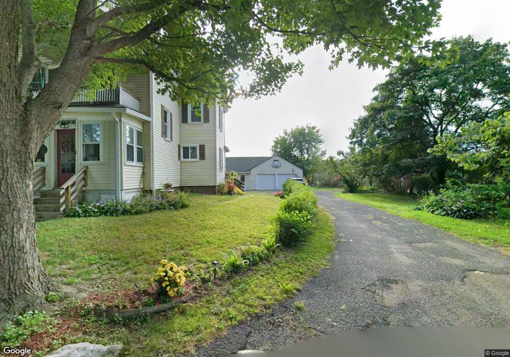
130 Cross Path Rd Northampton, MA 01060
Estimated Value: $381,000 - $547,000
3
Beds
2
Baths
1,680
Sq Ft
$268/Sq Ft
Est. Value
About This Home
This home is located at 130 Cross Path Rd, Northampton, MA 01060 and is currently estimated at $449,940, approximately $267 per square foot. 130 Cross Path Rd is a home located in Hampshire County with nearby schools including Northampton High School, The Montessori School of Northampton, and Campus School of Smith College.
Ownership History
Date
Name
Owned For
Owner Type
Purchase Details
Closed on
Aug 3, 2004
Sold by
Mazeski Charles J
Bought by
Fusco Lisa L
Current Estimated Value
Home Financials for this Owner
Home Financials are based on the most recent Mortgage that was taken out on this home.
Original Mortgage
$221,250
Interest Rate
6.33%
Mortgage Type
Purchase Money Mortgage
Purchase Details
Closed on
Jan 11, 1993
Sold by
Mazeski Chas J and Mazeski Muriel
Bought by
Mazeski Chas J
Create a Home Valuation Report for This Property
The Home Valuation Report is an in-depth analysis detailing your home's value as well as a comparison with similar homes in the area
Home Values in the Area
Average Home Value in this Area
Purchase History
| Date | Buyer | Sale Price | Title Company |
|---|---|---|---|
| Fusco Lisa L | $295,000 | -- | |
| Mazeski Chas J | $92,400 | -- |
Source: Public Records
Mortgage History
| Date | Status | Borrower | Loan Amount |
|---|---|---|---|
| Open | Mazeski Chas J | $250,000 | |
| Closed | Mazeski Chas J | $221,250 |
Source: Public Records
Tax History Compared to Growth
Tax History
| Year | Tax Paid | Tax Assessment Tax Assessment Total Assessment is a certain percentage of the fair market value that is determined by local assessors to be the total taxable value of land and additions on the property. | Land | Improvement |
|---|---|---|---|---|
| 2025 | $4,963 | $356,300 | $122,000 | $234,300 |
| 2024 | $5,282 | $347,700 | $117,000 | $230,700 |
| 2023 | $4,440 | $280,300 | $105,900 | $174,400 |
| 2022 | $3,936 | $220,000 | $99,800 | $120,200 |
| 2021 | $3,955 | $227,700 | $95,600 | $132,100 |
| 2020 | $3,825 | $227,700 | $95,600 | $132,100 |
| 2019 | $3,636 | $209,300 | $86,400 | $122,900 |
| 2018 | $3,490 | $204,800 | $86,400 | $118,400 |
| 2017 | $3,418 | $204,800 | $86,400 | $118,400 |
| 2016 | $3,310 | $204,800 | $86,400 | $118,400 |
| 2015 | $3,291 | $208,300 | $85,700 | $122,600 |
| 2014 | $3,206 | $208,300 | $85,700 | $122,600 |
Source: Public Records
Map
Nearby Homes
- 58 Phillips Place
- 36 Butler Place
- 10 Hawley St Unit 4C
- 10 Hawley St Unit 4D
- 10 Hawley St Unit 4B
- 10 Hawley St Unit 4A
- 41 Old Ferry Rd
- 30 Graves Ave Unit B
- 107 Williams St Unit 2c
- 107 Williams St Unit 3c
- 107 Williams St Unit A1
- 107 Williams St Unit 2B
- 30 Cherry St
- 30 Cherry St Unit A
- 30 Cherry St Unit B
- 9 Walnut St Unit B
- 8 View Ave Unit A
- 8 View Ave Unit B
- 43 Center St Unit K
- 244 Main St
- 132 Cross Path Rd
- 134 Cross Path Rd
- 128 Cross Path Rd
- 136 Cross Path Rd
- 125 Cross Path Rd
- 124 Cross Path Rd
- 122 Cross Path Rd
- 43 Fair St
- 140 Fair Street Extension
- 140 Fair Street Extension
- 141 Fair Street Extension
- 37 Fair St
- 44 Pomeroy Terrace
- 40 Pomeroy Terrace
- 6-8 Pomeroy Terrace
- 29 Fair St
- 36 Pomeroy Terrace
- 31 Fair St
- 28 Pomeroy Terrace
- 20 Pomeroy Terrace