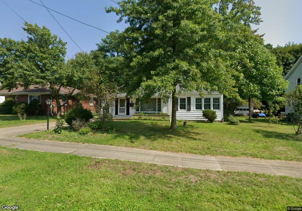
130 Cummins Ave Conneaut, OH 44030
Estimated Value: $114,000 - $154,000
2
Beds
2
Baths
960
Sq Ft
$137/Sq Ft
Est. Value
About This Home
This home is located at 130 Cummins Ave, Conneaut, OH 44030 and is currently estimated at $131,306, approximately $136 per square foot. 130 Cummins Ave is a home located in Ashtabula County with nearby schools including Lakeshore Primary Elementary School, Gateway Elementary School, and Conneaut Middle School.
Ownership History
Date
Name
Owned For
Owner Type
Purchase Details
Closed on
Dec 23, 2024
Sold by
Johnson Robert and Johnson Patricia A
Bought by
Kreger Holdings Llc
Current Estimated Value
Purchase Details
Closed on
Jun 29, 2011
Sold by
Johnson Robert
Bought by
Johnson Robert and Johnson Patricia A
Purchase Details
Closed on
Apr 9, 2009
Sold by
Sterling Judyth A
Bought by
Johnson Robert
Home Financials for this Owner
Home Financials are based on the most recent Mortgage that was taken out on this home.
Original Mortgage
$57,280
Interest Rate
5.11%
Mortgage Type
Unknown
Create a Home Valuation Report for This Property
The Home Valuation Report is an in-depth analysis detailing your home's value as well as a comparison with similar homes in the area
Home Values in the Area
Average Home Value in this Area
Purchase History
| Date | Buyer | Sale Price | Title Company |
|---|---|---|---|
| Kreger Holdings Llc | $92,000 | Venture Title | |
| Kreger Holdings Llc | $92,000 | Venture Title | |
| Johnson Robert | -- | Chicago Title | |
| Johnson Robert | $71,600 | Chicago Title Agency |
Source: Public Records
Mortgage History
| Date | Status | Borrower | Loan Amount |
|---|---|---|---|
| Previous Owner | Johnson Robert | $57,280 |
Source: Public Records
Tax History
| Year | Tax Paid | Tax Assessment Tax Assessment Total Assessment is a certain percentage of the fair market value that is determined by local assessors to be the total taxable value of land and additions on the property. | Land | Improvement |
|---|---|---|---|---|
| 2024 | $2,072 | $28,320 | $2,030 | $26,290 |
| 2023 | $1,318 | $28,320 | $2,030 | $26,290 |
| 2022 | $1,115 | $21,080 | $1,580 | $19,500 |
| 2021 | $1,135 | $21,080 | $1,580 | $19,500 |
| 2020 | $1,134 | $21,080 | $1,580 | $19,500 |
| 2019 | $1,166 | $21,290 | $810 | $20,480 |
| 2018 | $1,112 | $21,290 | $810 | $20,480 |
| 2017 | $1,110 | $21,290 | $810 | $20,480 |
| 2016 | $1,064 | $22,270 | $880 | $21,390 |
| 2015 | $1,075 | $22,270 | $880 | $21,390 |
| 2014 | $947 | $22,270 | $880 | $21,390 |
| 2013 | $975 | $23,600 | $1,790 | $21,810 |
Source: Public Records
Map
Nearby Homes
- 855 Spring St Unit S9
- 110 Edgewood Dr
- 238 Whitney St
- 745 Maple Ave
- 681 Madison St
- 18 Hillcrest Ct
- 536 Madison St
- 475 State St
- 210 W Main Rd
- 474 Sherman St
- VL Center Rd
- 202 W Main Rd Unit 132
- 220 Daniels Ave
- 375 Bliss Ave
- 450 Buffalo St
- 0 Dorman Rd
- 386 Washington St
- 284 Clay St
- 1145 Lake Rd
- 146 Nickle Plate Ave
- 122 Cummins Ave
- 138 Cummins Ave
- 141 Grandview St
- 142 Cummins Ave
- 894 Lincoln Dr
- 133 Grandview St
- 155 Grandview St
- 914 Lincoln Dr
- 131 Grandview St
- 117 Cummins Ave
- 152 Cummins Ave
- 157 Grandview St
- 123 Grandview St
- 137 Cummins Ave
- 159 Grandview St
- 882 Lincoln Dr
- 141 Cummins Ave
- 163 Grandview St
- 147 Cummins Ave
Your Personal Tour Guide
Ask me questions while you tour the home.