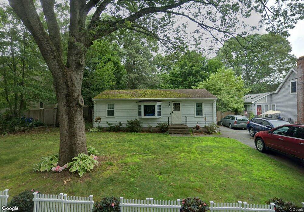
130 Curtis Ave Attleboro, MA 02703
Estimated Value: $359,000 - $405,882
2
Beds
1
Bath
912
Sq Ft
$426/Sq Ft
Est. Value
About This Home
This home is located at 130 Curtis Ave, Attleboro, MA 02703 and is currently estimated at $388,221, approximately $425 per square foot. 130 Curtis Ave is a home located in Bristol County with nearby schools including Hill-Roberts Elementary School, Robert J. Coelho Middle School, and Attleboro High School.
Ownership History
Date
Name
Owned For
Owner Type
Purchase Details
Closed on
Aug 17, 1988
Sold by
Newport Galleria
Bought by
Mcgrath James B
Current Estimated Value
Home Financials for this Owner
Home Financials are based on the most recent Mortgage that was taken out on this home.
Original Mortgage
$107,200
Interest Rate
10.32%
Mortgage Type
Purchase Money Mortgage
Create a Home Valuation Report for This Property
The Home Valuation Report is an in-depth analysis detailing your home's value as well as a comparison with similar homes in the area
Home Values in the Area
Average Home Value in this Area
Purchase History
| Date | Buyer | Sale Price | Title Company |
|---|---|---|---|
| Mcgrath James B | $112,900 | -- |
Source: Public Records
Mortgage History
| Date | Status | Borrower | Loan Amount |
|---|---|---|---|
| Closed | Mcgrath James B | $107,200 |
Source: Public Records
Tax History Compared to Growth
Tax History
| Year | Tax Paid | Tax Assessment Tax Assessment Total Assessment is a certain percentage of the fair market value that is determined by local assessors to be the total taxable value of land and additions on the property. | Land | Improvement |
|---|---|---|---|---|
| 2025 | $3,830 | $305,200 | $133,500 | $171,700 |
| 2024 | $3,724 | $292,500 | $133,500 | $159,000 |
| 2023 | $3,535 | $258,200 | $121,400 | $136,800 |
| 2022 | $3,409 | $235,900 | $115,600 | $120,300 |
| 2021 | $3,170 | $214,200 | $111,100 | $103,100 |
| 2020 | $3,075 | $211,200 | $108,000 | $103,200 |
| 2019 | $2,937 | $207,400 | $105,900 | $101,500 |
| 2018 | $2,884 | $194,600 | $102,900 | $91,700 |
| 2017 | $2,696 | $185,300 | $102,900 | $82,400 |
| 2016 | $2,574 | $173,700 | $100,900 | $72,800 |
| 2015 | $2,573 | $174,900 | $100,900 | $74,000 |
| 2014 | $2,404 | $161,900 | $96,100 | $65,800 |
Source: Public Records
Map
Nearby Homes
- 139 Hackett Ave
- 18 Newton St
- 31 Carleton St
- 50 Pullman Ave Unit B
- 50 Pullman Ave Unit A
- 48 Pullman Ave
- 980 Newport Ave
- 460 Collins St Unit 38
- 44 Buffington St
- 61 Mendon Rd
- 78 Scott St
- 62 Jessie Ave
- 40 Central Ave
- 5 Mendon Rd Unit D
- 62 Colvin St
- 37 Turner St
- 330 Brown St
- 1 Allenson Ave
- 39 Slade Ave
- 91 Greenwich St
- 128 Curtis Ave Unit 2
- 128 Curtis Ave Unit 1
- 136 Curtis Ave
- 129 Hackett Ave
- 126 Curtis Ave
- 142 Curtis Ave
- 118 Curtis Ave Unit Left
- 118 Curtis Ave
- 124 Curtis Ave
- 113 Hackett Ave
- 135 Hackett Ave
- 148 Curtis Ave
- 107 Hackett Ave
- 136 Hackett Ave
- 134 Hackett Ave Unit 1
- 101 Hackett Ave
- 99 Hackett Ave
- 138 Hackett Ave
- 116 Curtis Ave
- 116 Curtis Ave Unit 1