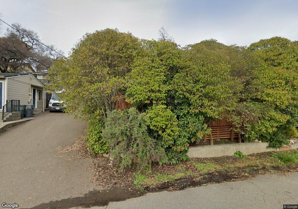
130 Diamond St Auburn, CA 95603
Estimated Value: $364,269 - $402,000
2
Beds
1
Bath
720
Sq Ft
$526/Sq Ft
Est. Value
About This Home
This home is located at 130 Diamond St, Auburn, CA 95603 and is currently estimated at $378,423, approximately $525 per square foot. 130 Diamond St is a home located in Placer County with nearby schools including Skyridge Elementary School, Placer High School, and Alta Vista Community Charter.
Ownership History
Date
Name
Owned For
Owner Type
Purchase Details
Closed on
Mar 4, 2019
Sold by
Cables Merle L and Cables Charlotte L
Bought by
The Merle L Cables And Charlotte L Frt
Current Estimated Value
Purchase Details
Closed on
Jul 8, 2004
Sold by
Colter Patricia A
Bought by
Cables Merle and Cables Charlotte
Home Financials for this Owner
Home Financials are based on the most recent Mortgage that was taken out on this home.
Original Mortgage
$160,000
Interest Rate
6.27%
Mortgage Type
Unknown
Purchase Details
Closed on
Feb 13, 2002
Sold by
Colter Patricia A and Colter Patricia
Bought by
Colter Patricia A
Create a Home Valuation Report for This Property
The Home Valuation Report is an in-depth analysis detailing your home's value as well as a comparison with similar homes in the area
Home Values in the Area
Average Home Value in this Area
Purchase History
| Date | Buyer | Sale Price | Title Company |
|---|---|---|---|
| The Merle L Cables And Charlotte L Frt | -- | None Available | |
| Cables Merle | $200,000 | Chicago Title | |
| Colter Patricia A | -- | -- |
Source: Public Records
Mortgage History
| Date | Status | Borrower | Loan Amount |
|---|---|---|---|
| Previous Owner | Cables Merle | $160,000 |
Source: Public Records
Tax History
| Year | Tax Paid | Tax Assessment Tax Assessment Total Assessment is a certain percentage of the fair market value that is determined by local assessors to be the total taxable value of land and additions on the property. | Land | Improvement |
|---|---|---|---|---|
| 2025 | $4,009 | $294,899 | $111,502 | $183,397 |
| 2023 | $4,009 | $283,449 | $107,173 | $176,276 |
| 2022 | $3,961 | $277,892 | $105,072 | $172,820 |
| 2021 | $3,853 | $272,444 | $103,012 | $169,432 |
| 2020 | $3,832 | $269,651 | $101,956 | $167,695 |
| 2019 | $3,779 | $264,364 | $99,957 | $164,407 |
| 2018 | $3,625 | $259,182 | $97,998 | $161,184 |
| 2017 | $3,540 | $254,101 | $96,077 | $158,024 |
| 2016 | $3,450 | $249,120 | $94,194 | $154,926 |
| 2015 | $3,354 | $245,379 | $92,780 | $152,599 |
| 2014 | $2,533 | $167,012 | $62,586 | $104,426 |
Source: Public Records
Map
Nearby Homes
- 160 Walker Dr
- 274 Huntley Ave
- 681 Foresthill Ave
- 230 Foresthill Ave
- 232 Foresthill Ave Unit B
- 121 Aeolia Dr
- 958 Herr Way
- 13053 Lincoln Way Unit D
- 227 Swenson Ct
- 13067 Lincoln Way Unit D
- 438 Olive Orchard Dr
- 55 Neils
- 0 Dairy Rd Unit 225137062
- 34-35 Grass Valley Hwy
- 726 Dorothy Way Unit 48
- 197 Blackberry Ct Unit 10
- 374 Kevin Ct
- 225 Flood Rd
- 325 Union St
- 164 Mulberry Ln