130 Dunnbrook Rd East Brookfield, MA 01515
Estimated Value: $396,113 - $471,000
4
Beds
2
Baths
1,638
Sq Ft
$266/Sq Ft
Est. Value
About This Home
This home is located at 130 Dunnbrook Rd, East Brookfield, MA 01515 and is currently estimated at $435,278, approximately $265 per square foot. 130 Dunnbrook Rd is a home located in Worcester County with nearby schools including David Prouty High School.
Ownership History
Date
Name
Owned For
Owner Type
Purchase Details
Closed on
Sep 30, 2010
Sold by
Murray Diane W
Bought by
Mulrain Anne M
Current Estimated Value
Home Financials for this Owner
Home Financials are based on the most recent Mortgage that was taken out on this home.
Original Mortgage
$198,529
Outstanding Balance
$131,607
Interest Rate
4.44%
Mortgage Type
Purchase Money Mortgage
Estimated Equity
$303,671
Purchase Details
Closed on
Nov 13, 2006
Sold by
Pelley Judith A and Pelley Thomas M
Bought by
Murray Diane W
Home Financials for this Owner
Home Financials are based on the most recent Mortgage that was taken out on this home.
Original Mortgage
$206,000
Interest Rate
6.31%
Mortgage Type
Purchase Money Mortgage
Purchase Details
Closed on
Sep 22, 1989
Sold by
Moreland Dev Co
Bought by
Pelley Thomas
Create a Home Valuation Report for This Property
The Home Valuation Report is an in-depth analysis detailing your home's value as well as a comparison with similar homes in the area
Home Values in the Area
Average Home Value in this Area
Purchase History
| Date | Buyer | Sale Price | Title Company |
|---|---|---|---|
| Mulrain Anne M | $220,000 | -- | |
| Murray Diane W | $257,500 | -- | |
| Pelley Thomas | $125,000 | -- |
Source: Public Records
Mortgage History
| Date | Status | Borrower | Loan Amount |
|---|---|---|---|
| Open | Mulrain Anne M | $198,529 | |
| Previous Owner | Murray Diane W | $206,000 | |
| Previous Owner | Pelley Thomas | $167,800 | |
| Previous Owner | Pelley Thomas | $153,500 |
Source: Public Records
Tax History Compared to Growth
Tax History
| Year | Tax Paid | Tax Assessment Tax Assessment Total Assessment is a certain percentage of the fair market value that is determined by local assessors to be the total taxable value of land and additions on the property. | Land | Improvement |
|---|---|---|---|---|
| 2025 | $3,942 | $307,000 | $49,400 | $257,600 |
| 2024 | $3,756 | $294,100 | $44,800 | $249,300 |
| 2023 | $3,411 | $260,200 | $44,800 | $215,400 |
| 2022 | $3,588 | $265,200 | $38,700 | $226,500 |
| 2021 | $3,393 | $228,800 | $38,700 | $190,100 |
| 2020 | $3,185 | $214,900 | $38,700 | $176,200 |
| 2019 | $3,254 | $197,600 | $38,700 | $158,900 |
| 2018 | $2,964 | $191,700 | $39,800 | $151,900 |
| 2017 | $2,888 | $177,400 | $36,800 | $140,600 |
| 2016 | $2,904 | $166,300 | $36,800 | $129,500 |
| 2015 | $2,861 | $164,800 | $36,800 | $128,000 |
| 2014 | $2,871 | $164,800 | $36,800 | $128,000 |
Source: Public Records
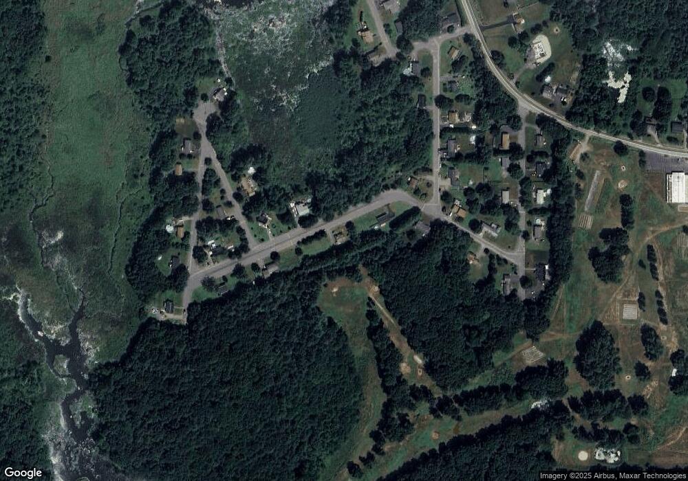
Map
Nearby Homes
- 130 Dunn Brook Rd
- 118 Dunnbrook Rd
- 133 Dunnbrook Rd
- 149 Dunnbrook Rd
- 140 Dunnbrook Rd
- 110 Dunnbrook Rd
- 125 Haywood Dr
- 0 Hodgkins
- 108 Hodgkins Dr
- LOT 38&39 Tarbell Dr
- 155 Dunnbrook Rd
- 111 Dunnbrook Rd
- 105 Hodgkins Dr
- 105 Hodgkins Dr Unit 1
- 104 Dunnbrook Rd
- 150 Dunnbrook Rd
- 118 Haywood Dr
- 105 Haywood Dr
- 108 Bay Path Rd
- 105 Tarbell Dr