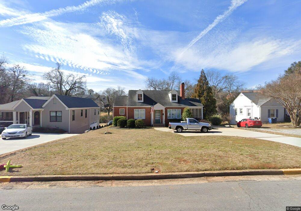
130 E Rutherford St Athens, GA 30605
Five Points NeighborhoodEstimated Value: $470,000 - $620,000
2
Beds
1
Bath
1,140
Sq Ft
$473/Sq Ft
Est. Value
About This Home
This home is located at 130 E Rutherford St, Athens, GA 30605 and is currently estimated at $539,273, approximately $473 per square foot. 130 E Rutherford St is a home located in Clarke County with nearby schools including Barrow Elementary School, Clarke Middle School, and Clarke Central High School.
Ownership History
Date
Name
Owned For
Owner Type
Purchase Details
Closed on
Sep 23, 2005
Sold by
Mapp Patricia H
Bought by
Hancock Cleveland L and Hancock Lyanne H
Current Estimated Value
Home Financials for this Owner
Home Financials are based on the most recent Mortgage that was taken out on this home.
Original Mortgage
$134,400
Interest Rate
5.35%
Mortgage Type
New Conventional
Purchase Details
Closed on
Jun 14, 2005
Sold by
Mapp Patricia H
Bought by
Mapp Patricia H and Fin Patricia Gary
Create a Home Valuation Report for This Property
The Home Valuation Report is an in-depth analysis detailing your home's value as well as a comparison with similar homes in the area
Home Values in the Area
Average Home Value in this Area
Purchase History
| Date | Buyer | Sale Price | Title Company |
|---|---|---|---|
| Hancock Cleveland L | $168,000 | -- | |
| Mapp Patricia H | -- | -- |
Source: Public Records
Mortgage History
| Date | Status | Borrower | Loan Amount |
|---|---|---|---|
| Closed | Hancock Cleveland L | $134,400 |
Source: Public Records
Tax History Compared to Growth
Tax History
| Year | Tax Paid | Tax Assessment Tax Assessment Total Assessment is a certain percentage of the fair market value that is determined by local assessors to be the total taxable value of land and additions on the property. | Land | Improvement |
|---|---|---|---|---|
| 2025 | $5,916 | $190,533 | $70,000 | $120,533 |
| 2024 | $5,916 | $181,128 | $70,000 | $111,128 |
| 2023 | $5,660 | $157,475 | $60,000 | $97,475 |
| 2022 | $4,010 | $125,697 | $44,000 | $81,697 |
| 2021 | $2,857 | $115,262 | $44,000 | $71,262 |
| 2020 | $2,708 | $104,382 | $40,000 | $64,382 |
| 2019 | $2,675 | $100,325 | $40,000 | $60,325 |
| 2018 | $2,513 | $88,684 | $40,000 | $48,684 |
| 2017 | $2,402 | $80,746 | $40,000 | $40,746 |
| 2016 | $2,408 | $80,922 | $40,000 | $40,922 |
| 2015 | $2,256 | $76,336 | $40,000 | $36,336 |
| 2014 | $2,055 | $70,336 | $34,000 | $36,336 |
Source: Public Records
Map
Nearby Homes
- 997 S Milledge Ave Unit 2
- 997 S Milledge Ave Unit 3
- 997 S Milledge Ave Unit 1
- 997 S Milledge Ave Unit 4
- 221 University Dr
- 50 Springdale St
- 490 Ofarrell St
- 255 Bloomfield St
- 515 Hampton Ct
- 265 Springdale St
- 495 Woodlawn Ave
- 183 Parkway Dr
- 577 W Cloverhurst Ave
- 338 Springdale St
- 685 Pinecrest Dr
- 1697 S Milledge Ave
- 494 Baxter St Unit 32
- 160 Riverdale Dr
- 120 E Rutherford St Unit B
- 120 E Rutherford St
- 142 E Rutherford St
- E E Rutherford St
- 145 Woodrow St
- 125 Woodrow St
- 160 E Rutherford St
- 117 Woodrow St
- 157 Woodrow St
- 121 Woodrow St
- 1515 S Lumpkin St Unit 106
- 1515 S Lumpkin St Unit 102
- 1515 S Lumpkin St Unit 411
- 1515 S Lumpkin St Unit 305
- 1515 S Lumpkin St Unit 205
- 1515 S Lumpkin St Unit 507
- 1515 S Lumpkin St Unit 103
- 1515 S Lumpkin St
- 1515 S Lumpkin St
- 1515 S Lumpkin St