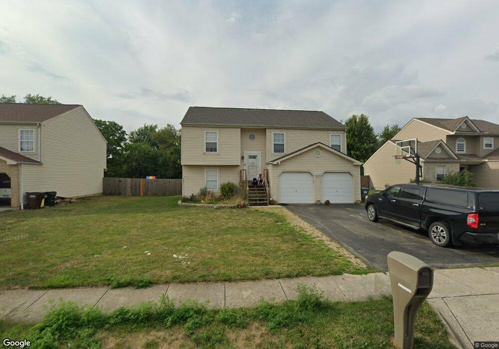
130 Edmonds Dr Commercial Point, OH 43116
Estimated Value: $350,000 - $357,678
4
Beds
3
Baths
2,066
Sq Ft
$172/Sq Ft
Est. Value
About This Home
This home is located at 130 Edmonds Dr, Commercial Point, OH 43116 and is currently estimated at $354,420, approximately $171 per square foot. 130 Edmonds Dr is a home located in Pickaway County.
Ownership History
Date
Name
Owned For
Owner Type
Purchase Details
Closed on
Aug 23, 2017
Sold by
Lantz Daniel V
Bought by
Lantz Robin M
Current Estimated Value
Home Financials for this Owner
Home Financials are based on the most recent Mortgage that was taken out on this home.
Original Mortgage
$119,500
Outstanding Balance
$99,714
Interest Rate
3.96%
Mortgage Type
New Conventional
Estimated Equity
$254,706
Purchase Details
Closed on
Oct 29, 2010
Sold by
Mcconnell Tamera M and Duncan Tamera M
Bought by
Lantz Daniel and Lantz Robin M
Home Financials for this Owner
Home Financials are based on the most recent Mortgage that was taken out on this home.
Original Mortgage
$129,259
Interest Rate
4.37%
Mortgage Type
FHA
Purchase Details
Closed on
Jul 28, 2004
Sold by
Maronda Homes Inc Of Ohio
Bought by
Mcconnell Tamera M
Home Financials for this Owner
Home Financials are based on the most recent Mortgage that was taken out on this home.
Original Mortgage
$140,544
Interest Rate
6.34%
Mortgage Type
FHA
Create a Home Valuation Report for This Property
The Home Valuation Report is an in-depth analysis detailing your home's value as well as a comparison with similar homes in the area
Home Values in the Area
Average Home Value in this Area
Purchase History
| Date | Buyer | Sale Price | Title Company |
|---|---|---|---|
| Lantz Robin M | -- | Kingdom Title | |
| Lantz Daniel | $131,000 | Quality Choice Title | |
| Mcconnell Tamera M | $142,800 | Chicago Title |
Source: Public Records
Mortgage History
| Date | Status | Borrower | Loan Amount |
|---|---|---|---|
| Open | Lantz Robin M | $119,500 | |
| Closed | Lantz Daniel | $129,259 | |
| Closed | Mcconnell Tamera M | $140,544 |
Source: Public Records
Tax History Compared to Growth
Tax History
| Year | Tax Paid | Tax Assessment Tax Assessment Total Assessment is a certain percentage of the fair market value that is determined by local assessors to be the total taxable value of land and additions on the property. | Land | Improvement |
|---|---|---|---|---|
| 2024 | -- | $80,330 | $15,360 | $64,970 |
| 2023 | $3,021 | $80,330 | $15,360 | $64,970 |
| 2022 | $2,614 | $63,850 | $12,800 | $51,050 |
| 2021 | $2,622 | $63,850 | $12,800 | $51,050 |
| 2020 | $2,623 | $63,850 | $12,800 | $51,050 |
| 2019 | $2,321 | $54,880 | $12,800 | $42,080 |
| 2018 | $2,139 | $54,880 | $12,800 | $42,080 |
| 2017 | $2,195 | $54,880 | $12,800 | $42,080 |
| 2016 | $1,758 | $43,870 | $9,780 | $34,090 |
| 2015 | $1,759 | $43,870 | $9,780 | $34,090 |
| 2014 | $1,761 | $43,870 | $9,780 | $34,090 |
| 2013 | $1,927 | $46,140 | $9,780 | $36,360 |
Source: Public Records
Map
Nearby Homes
- 229 Victorian Dr
- 201 Victorian Dr
- 317 Adrien Ct
- 403 Alberta Dr
- 502 Conley Dr
- 513 Heidish Dr
- 211 Cavanaugh Dr
- 49 Front St
- 500 Walker Pointe Dr
- 486 Creekside Dr
- 56 Chambers Bay Rd
- 294 Shady Hollow Dr
- 47 Front St
- 55 Genoa Cir
- 45 Genoa Cir
- 62 Genoa Cir
- 66 Genoa Cir
- 310 Genoa Rd
- 10901 Borror Rd Unit 19
- The Siebert Plan at Genoa Crossing
- 128 Edmonds Dr
- 132 Edmonds Dr
- 134 Edmonds Dr
- 126 Edmonds Dr
- 131 Brittney Rd
- 3 Beckman Ln
- 124 Edmonds Dr
- 136 Edmonds Dr
- 130 Brittney Rd
- 129 Brittney Rd
- 6 First St
- 243 Victorian Dr
- 122 Edmonds Dr
- 128 Brittney Rd
- 138 Edmonds Dr Unit 71
- 25 Harsh Alley
- 123 Edmonds Dr
- 127 Brittney Rd
- 27 W Scioto St
- 27 E Scioto St