130 Grant Rd Freeport, ME 04032
Estimated Value: $788,740 - $1,013,000
3
Beds
3
Baths
2,154
Sq Ft
$402/Sq Ft
Est. Value
About This Home
This home is located at 130 Grant Rd, Freeport, ME 04032 and is currently estimated at $866,185, approximately $402 per square foot. 130 Grant Rd is a home with nearby schools including Morse Street School, Mast Landing School, and Freeport Middle School.
Create a Home Valuation Report for This Property
The Home Valuation Report is an in-depth analysis detailing your home's value as well as a comparison with similar homes in the area
Home Values in the Area
Average Home Value in this Area
Tax History
| Year | Tax Paid | Tax Assessment Tax Assessment Total Assessment is a certain percentage of the fair market value that is determined by local assessors to be the total taxable value of land and additions on the property. | Land | Improvement |
|---|---|---|---|---|
| 2025 | $8,684 | $627,000 | $258,700 | $368,300 |
| 2024 | $8,205 | $614,600 | $246,300 | $368,300 |
| 2023 | $7,470 | $543,300 | $223,900 | $319,400 |
| 2022 | $7,128 | $522,200 | $202,800 | $319,400 |
| 2021 | $6,971 | $522,200 | $202,800 | $319,400 |
| 2020 | $6,709 | $479,200 | $178,300 | $300,900 |
| 2019 | $6,454 | $451,300 | $168,200 | $283,100 |
| 2018 | $6,450 | $428,600 | $163,600 | $265,000 |
| 2017 | $6,170 | $412,700 | $159,900 | $252,800 |
| 2016 | $5,998 | $379,600 | $145,100 | $234,500 |
| 2015 | $5,962 | $354,900 | $132,600 | $222,300 |
| 2014 | $5,607 | $354,900 | $132,600 | $222,300 |
| 2013 | $5,549 | $350,100 | $128,500 | $221,600 |
Source: Public Records
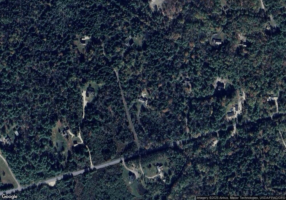
Map
Nearby Homes
- 32 Grant Rd
- 42A Wardtown Rd
- 21 Renee Rd
- 143 Bragdon Rd
- 1595 U S 1
- 1 Wardtown Rd
- 8 Statler Ln
- 31 Allen Range Rd
- 4 Harper's Trail
- 45 Beech Hill Rd
- 0 Prout Rd
- 1260 Us Route 1
- 006-114 Old Brunswick Rd
- Lot 9 Little Fawn Ln
- 42 Durham Rd
- 15 Tinkers Way
- 212 Main St
- 10 Durham Rd
- 304 Pownal Rd
- Lot 8 Crossman Dr
Your Personal Tour Guide
Ask me questions while you tour the home.