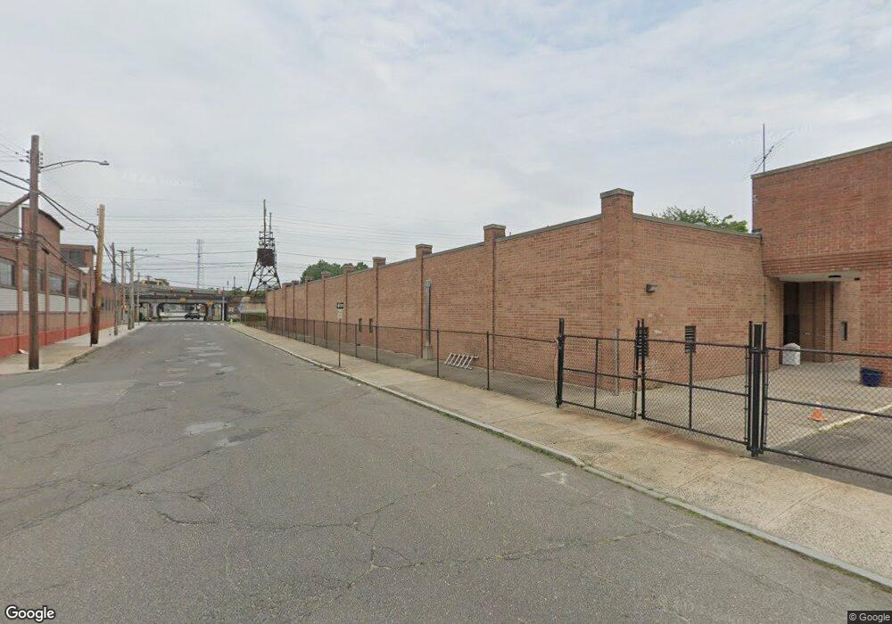
130 Gregory St Bridge Port, CT 06604
South End NeighborhoodEstimated Value: $2,824,296
--
Bed
--
Bath
15,600
Sq Ft
$181/Sq Ft
Est. Value
About This Home
This home is located at 130 Gregory St, Bridge Port, CT 06604 and is currently estimated at $2,824,296, approximately $181 per square foot. 130 Gregory St is a home located in Fairfield County with nearby schools including Roosevelt School, Bassick High School, and New Beginnings Family Academy.
Ownership History
Date
Name
Owned For
Owner Type
Purchase Details
Closed on
Jan 7, 2019
Sold by
New Vision International
Bought by
Free Methodist Church
Current Estimated Value
Home Financials for this Owner
Home Financials are based on the most recent Mortgage that was taken out on this home.
Original Mortgage
$1,497,000
Outstanding Balance
$1,321,457
Interest Rate
4.8%
Mortgage Type
Purchase Money Mortgage
Estimated Equity
$1,502,839
Purchase Details
Closed on
Nov 8, 2002
Sold by
Lafayette St Assoc Llc
Bought by
Newvision Intl Ministr
Create a Home Valuation Report for This Property
The Home Valuation Report is an in-depth analysis detailing your home's value as well as a comparison with similar homes in the area
Home Values in the Area
Average Home Value in this Area
Purchase History
| Date | Buyer | Sale Price | Title Company |
|---|---|---|---|
| Free Methodist Church | $1,700,000 | -- | |
| Free Methodist Church | $1,700,000 | -- | |
| Newvision Intl Ministr | $840,000 | -- | |
| Newvision Intl Ministr | $840,000 | -- |
Source: Public Records
Mortgage History
| Date | Status | Borrower | Loan Amount |
|---|---|---|---|
| Open | Newvision Intl Ministr | $1,497,000 | |
| Closed | Newvision Intl Ministr | $1,497,000 | |
| Previous Owner | Newvision Intl Ministr | $175,000 |
Source: Public Records
Tax History Compared to Growth
Tax History
| Year | Tax Paid | Tax Assessment Tax Assessment Total Assessment is a certain percentage of the fair market value that is determined by local assessors to be the total taxable value of land and additions on the property. | Land | Improvement |
|---|---|---|---|---|
| 2025 | $0 | $1,714,040 | $341,250 | $1,372,790 |
| 2024 | -- | $1,714,040 | $341,250 | $1,372,790 |
| 2023 | $0 | $1,714,040 | $341,250 | $1,372,790 |
| 2022 | $0 | $1,714,040 | $341,250 | $1,372,790 |
| 2021 | $0 | $1,714,040 | $341,250 | $1,372,790 |
| 2020 | $0 | $1,617,580 | $273,000 | $1,344,580 |
| 2019 | $0 | $1,617,580 | $273,000 | $1,344,580 |
| 2018 | $0 | $1,617,580 | $273,000 | $1,344,580 |
| 2017 | $0 | $1,617,580 | $273,000 | $1,344,580 |
| 2016 | -- | $1,617,580 | $273,000 | $1,344,580 |
| 2015 | -- | $1,704,790 | $307,130 | $1,397,660 |
| 2014 | $71,942 | $1,704,790 | $307,130 | $1,397,660 |
Source: Public Records
Map
Nearby Homes
- 325 Lafayette St Unit 5102
- 325 Lafayette St Unit 3303
- 95 Austin St
- 10-12 Cottage Place
- 160 E Main St
- 59 Myrtle Ave Unit 61
- 881 Lafayette Blvd Unit 5K
- 881 Lafayette Blvd Unit 1A
- 59 Rennell St Unit 19
- 373 Iranistan Ave
- 201 Lewis St Unit 203
- 22 Sims St
- 144 Cottage St
- 21 Little St
- 162 Cottage St
- 70 Sims St
- 850 Atlantic St Unit 208
- 103 Sims St
- 757 Iranistan Ave Unit 759
- 865 Iranistan Ave
- 201 Railroad Ave
- 179 Railroad Ave
- 465 Lafayette St
- 463 Lafayette St
- 463 Lafayette St Unit 3rd
- 453 Lafayette St
- 473 Lafayette St
- 463 & 465 Lafayette St
- 39 Austin St Unit 3
- 415 Lafayette St Unit 417
- 37 Austin St
- 440 Lafayette St Unit 442
- 434 Lafayette St
- 422 Lafayette St Unit 424
- 424 Lafayette St Unit 2
- 531 Lafayette St
- 531 Lafayette St Unit 2
- 380 Myrtle Ave Unit 386
- 537 Lafayette St Unit 539
- 391 Myrtle Ave Unit 2nd floor