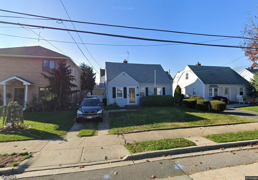
130 Haig Rd Valley Stream, NY 11581
Estimated Value: $698,000 - $723,893
4
Beds
2
Baths
1,594
Sq Ft
$446/Sq Ft
Est. Value
About This Home
This home is located at 130 Haig Rd, Valley Stream, NY 11581 and is currently estimated at $710,947, approximately $446 per square foot. 130 Haig Rd is a home located in Nassau County with nearby schools including George W Hewlett High School, Holy Name of Mary School, and Yeshiva of South Shore.
Ownership History
Date
Name
Owned For
Owner Type
Purchase Details
Closed on
Nov 23, 2020
Sold by
Aller Joseph W and Aller Susan
Bought by
Lee Yong Ho and Rho Bunny
Current Estimated Value
Home Financials for this Owner
Home Financials are based on the most recent Mortgage that was taken out on this home.
Original Mortgage
$425,000
Outstanding Balance
$378,190
Interest Rate
2.8%
Mortgage Type
New Conventional
Estimated Equity
$332,757
Purchase Details
Closed on
Sep 6, 2004
Sold by
Bain Jean
Bought by
Aller Joseph
Create a Home Valuation Report for This Property
The Home Valuation Report is an in-depth analysis detailing your home's value as well as a comparison with similar homes in the area
Home Values in the Area
Average Home Value in this Area
Purchase History
| Date | Buyer | Sale Price | Title Company |
|---|---|---|---|
| Lee Yong Ho | $500,000 | Fidelity National Title | |
| Aller Joseph | $350,000 | -- |
Source: Public Records
Mortgage History
| Date | Status | Borrower | Loan Amount |
|---|---|---|---|
| Open | Lee Yong Ho | $425,000 |
Source: Public Records
Tax History
| Year | Tax Paid | Tax Assessment Tax Assessment Total Assessment is a certain percentage of the fair market value that is determined by local assessors to be the total taxable value of land and additions on the property. | Land | Improvement |
|---|---|---|---|---|
| 2025 | $12,586 | $451 | $175 | $276 |
| 2024 | $1,740 | $455 | $176 | $279 |
Source: Public Records
Map
Nearby Homes
- 29 Orleans Rd
- 51 Stevenson Rd
- 1584 Kew Ave
- 29 Avon Rd
- 21 Fremont Rd
- 242 Munro Blvd
- 59 Holly Rd
- 54 Hollywood Ave
- 32 Harvard Ave
- 53 Lee Ave
- 1434 Noel Ave
- 56 Northumberland Gate
- 24 Yale Ave
- 343 Cochran Place
- 95 Horton Ave
- 80 Gibson Blvd Unit 1c
- 510 Dubois Ave Unit 11B
- 530 Dubois Ave Unit 2C
- 530 Dubois Ave Unit 1B
- 530 Dubois Ave Unit 7C
Your Personal Tour Guide
Ask me questions while you tour the home.