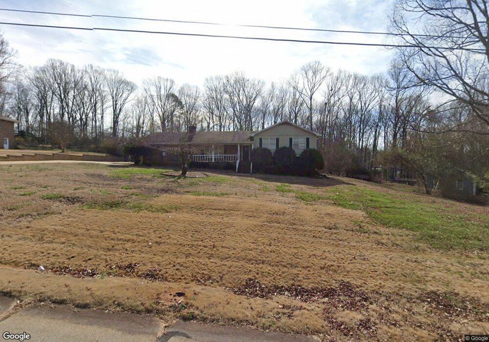
130 Kay Cir Covington, GA 30014
Estimated Value: $286,000 - $344,000
4
Beds
3
Baths
1,454
Sq Ft
$214/Sq Ft
Est. Value
About This Home
This home is located at 130 Kay Cir, Covington, GA 30014 and is currently estimated at $310,541, approximately $213 per square foot. 130 Kay Cir is a home located in Newton County with nearby schools including East Newton Elementary School, Cousins Middle School, and Eastside High School.
Ownership History
Date
Name
Owned For
Owner Type
Purchase Details
Closed on
Oct 7, 2016
Sold by
Greenich Deborah and Greenich Jeffrey
Bought by
Jacques Wendy
Current Estimated Value
Home Financials for this Owner
Home Financials are based on the most recent Mortgage that was taken out on this home.
Original Mortgage
$183,612
Outstanding Balance
$146,767
Interest Rate
3.62%
Mortgage Type
FHA
Estimated Equity
$163,774
Purchase Details
Closed on
Sep 10, 2012
Sold by
Wells Fargo Bank National
Bought by
Greenich Deborah and Greenich Jeffrey
Purchase Details
Closed on
Feb 5, 2001
Sold by
Allen Larry and Allen Dianne
Bought by
Whitehead Michael W and Whitehead Jeanie L
Home Financials for this Owner
Home Financials are based on the most recent Mortgage that was taken out on this home.
Original Mortgage
$130,000
Interest Rate
7.16%
Mortgage Type
New Conventional
Create a Home Valuation Report for This Property
The Home Valuation Report is an in-depth analysis detailing your home's value as well as a comparison with similar homes in the area
Home Values in the Area
Average Home Value in this Area
Purchase History
| Date | Buyer | Sale Price | Title Company |
|---|---|---|---|
| Jacques Wendy | $187,000 | -- | |
| Greenich Deborah | $71,500 | -- | |
| Whitehead Michael W | $130,000 | -- |
Source: Public Records
Mortgage History
| Date | Status | Borrower | Loan Amount |
|---|---|---|---|
| Open | Jacques Wendy | $183,612 | |
| Previous Owner | Whitehead Michael W | $130,000 |
Source: Public Records
Tax History
| Year | Tax Paid | Tax Assessment Tax Assessment Total Assessment is a certain percentage of the fair market value that is determined by local assessors to be the total taxable value of land and additions on the property. | Land | Improvement |
|---|---|---|---|---|
| 2025 | $3,130 | $130,000 | $16,800 | $113,200 |
| 2024 | $3,097 | $126,120 | $20,000 | $106,120 |
| 2023 | $3,148 | $119,880 | $10,000 | $109,880 |
| 2022 | $2,419 | $93,000 | $10,000 | $83,000 |
| 2021 | $2,502 | $86,400 | $8,800 | $77,600 |
| 2020 | $2,363 | $74,240 | $8,800 | $65,440 |
| 2019 | $2,248 | $69,800 | $8,800 | $61,000 |
| 2018 | $2,201 | $68,000 | $8,800 | $59,200 |
| 2017 | $1,985 | $61,720 | $8,800 | $52,920 |
| 2016 | $1,476 | $46,880 | $4,000 | $42,880 |
| 2015 | $977 | $32,360 | $4,000 | $28,360 |
| 2014 | $1,214 | $39,320 | $0 | $0 |
Source: Public Records
Map
Nearby Homes
- 115 Kay Cir
- 65 Dogwood Ln
- 195 Tamea Trail
- 55 Deep Step Rd
- 70 Newton Ridge Dr
- 150 Tall Oak Trail
- 128 Deep Step Rd
- 58 Deerfield Rd
- 250 Eastwood Forest
- 196 Dixie Rd
- 75 Deerfield Rd
- 55 Ashford Cove
- 155 Vinnys Way
- 90 Eastwood Cir
- 265 Deep Step Rd
- 147 Cobb Rd
- 115 Alcovy Cir
- 105 River Meadow Ln
- 180 River Meadow Ln
- 672 Elk Ridge
Your Personal Tour Guide
Ask me questions while you tour the home.