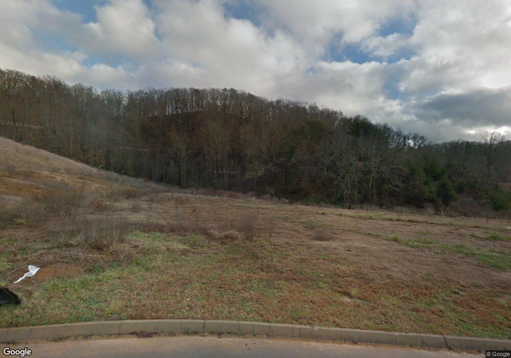
130 Millstone Cir Clinton, TN 37716
Estimated Value: $341,608 - $420,000
--
Bed
--
Bath
1,565
Sq Ft
$251/Sq Ft
Est. Value
About This Home
This home is located at 130 Millstone Cir, Clinton, TN 37716 and is currently estimated at $392,902, approximately $251 per square foot. 130 Millstone Cir is a home with nearby schools including Norris Elementary School and Norris Middle School.
Ownership History
Date
Name
Owned For
Owner Type
Purchase Details
Closed on
Feb 17, 2017
Sold by
Double L Construction Llc
Bought by
Parks Janet A
Current Estimated Value
Home Financials for this Owner
Home Financials are based on the most recent Mortgage that was taken out on this home.
Original Mortgage
$107,500
Outstanding Balance
$88,806
Interest Rate
4.12%
Mortgage Type
New Conventional
Estimated Equity
$304,096
Purchase Details
Closed on
Sep 29, 2016
Sold by
Brookstone Ridge Llc
Bought by
Double L Construction Llc
Purchase Details
Closed on
Jan 4, 2006
Bought by
Brookstone Ridge Llc
Create a Home Valuation Report for This Property
The Home Valuation Report is an in-depth analysis detailing your home's value as well as a comparison with similar homes in the area
Home Values in the Area
Average Home Value in this Area
Purchase History
| Date | Buyer | Sale Price | Title Company |
|---|---|---|---|
| Parks Janet A | $201,161 | Reliant Title | |
| Double L Construction Llc | $38,000 | -- | |
| Brookstone Ridge Llc | $425,000 | -- |
Source: Public Records
Mortgage History
| Date | Status | Borrower | Loan Amount |
|---|---|---|---|
| Open | Parks Janet A | $107,500 |
Source: Public Records
Tax History Compared to Growth
Tax History
| Year | Tax Paid | Tax Assessment Tax Assessment Total Assessment is a certain percentage of the fair market value that is determined by local assessors to be the total taxable value of land and additions on the property. | Land | Improvement |
|---|---|---|---|---|
| 2024 | $1,391 | $52,925 | $8,750 | $44,175 |
| 2023 | $1,391 | $52,925 | $0 | $0 |
| 2022 | $1,391 | $52,925 | $8,750 | $44,175 |
| 2021 | $1,391 | $52,925 | $8,750 | $44,175 |
| 2020 | $1,357 | $52,925 | $8,750 | $44,175 |
| 2019 | $1,406 | $48,650 | $7,500 | $41,150 |
| 2018 | $1,357 | $48,650 | $7,500 | $41,150 |
| 2017 | $1,256 | $48,650 | $7,500 | $41,150 |
| 2016 | $209 | $7,500 | $7,500 | $0 |
| 2015 | -- | $7,500 | $7,500 | $0 |
| 2014 | -- | $7,500 | $7,500 | $0 |
| 2013 | -- | $7,875 | $0 | $0 |
Source: Public Records
Map
Nearby Homes
- 208 Cornerstone Cir
- 191 Cornerstone Cir
- 174 Flagstone Way
- 214 Mossy Rock Rd
- 229 Mossy Rock Rd
- 218 Mossy Rock Rd
- 2902 Andersonville Hwy
- 285 Joe Owen Rd
- 649 Jade Ct
- 170 Lone Mountain Rd
- 0 Chicory Dr Unit 1313759
- 3816 Andersonville Hwy
- 0 Larkspur Dr
- 224 Oak Rd
- 106 Crescent Rd
- 145 Grace Cir
- 116 Blue Phlox Ln
- 124 Blue Phlox Ln
- 123 Orchard Rd
- 36 Deer Ridge Rd
- 134 Millstone Cir
- 126 Millstone Cir
- 135 Millstone Cir
- 117 Millstone Cir
- 141 Millstone Cir
- 111 Millstone Cir
- 122 Millstone Cir
- 146 Millstone Cir
- 118 Millstone Cir
- 145 Millstone Cir
- 418 Brookstone Ridge Dr
- 128 Carly Ridge Way
- 107 Millstone Cir
- 110 Millstone Cir
- 149 Millstone Cir
- 150 Millstone Cir
- 123 Flagstone Way
- 127 Flag Stone Way
- 123 Flag Stone Way
- 0 Millstone Cir Unit 606147
