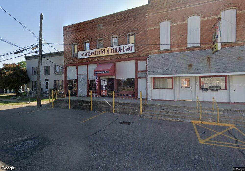
130 N Matteson St Bronson, MI 49028
Estimated Value: $46,765
--
Bed
2
Baths
1,800
Sq Ft
$26/Sq Ft
Est. Value
About This Home
This home is located at 130 N Matteson St, Bronson, MI 49028 and is currently estimated at $46,765, approximately $25 per square foot. 130 N Matteson St is a home located in Branch County with nearby schools including Anderson Elementary School, Ryan Elementary School, and Bronson Junior/Senior High School.
Ownership History
Date
Name
Owned For
Owner Type
Purchase Details
Closed on
Aug 30, 2024
Sold by
Peterson David S
Bought by
Cc & Company Llc
Current Estimated Value
Purchase Details
Closed on
Jan 31, 2012
Sold by
S O Bs Llc
Bought by
Southern Michigan Bank & Trust
Purchase Details
Closed on
Jul 26, 2004
Sold by
Kibiloski Clyde L
Bought by
S O Bs Llc
Home Financials for this Owner
Home Financials are based on the most recent Mortgage that was taken out on this home.
Original Mortgage
$100,000
Interest Rate
6.42%
Mortgage Type
Commercial
Purchase Details
Closed on
Jun 26, 2003
Bought by
Kibiloski Ii Clyde L
Purchase Details
Closed on
May 30, 2002
Sold by
Barr Robert and Barr Phyllis
Bought by
Southern Michigan Bank & Trust
Create a Home Valuation Report for This Property
The Home Valuation Report is an in-depth analysis detailing your home's value as well as a comparison with similar homes in the area
Home Values in the Area
Average Home Value in this Area
Purchase History
| Date | Buyer | Sale Price | Title Company |
|---|---|---|---|
| Cc & Company Llc | $45,000 | None Listed On Document | |
| Southern Michigan Bank & Trust | -- | None Available | |
| S O Bs Llc | -- | -- | |
| Kibiloski Ii Clyde L | $47,000 | -- | |
| Southern Michigan Bank & Trust | $42,000 | -- |
Source: Public Records
Mortgage History
| Date | Status | Borrower | Loan Amount |
|---|---|---|---|
| Previous Owner | S O Bs Llc | $100,000 |
Source: Public Records
Tax History Compared to Growth
Tax History
| Year | Tax Paid | Tax Assessment Tax Assessment Total Assessment is a certain percentage of the fair market value that is determined by local assessors to be the total taxable value of land and additions on the property. | Land | Improvement |
|---|---|---|---|---|
| 2025 | $1,968 | $43,200 | $0 | $0 |
| 2024 | $866 | $41,000 | $0 | $0 |
| 2023 | $806 | $32,800 | $0 | $0 |
| 2022 | $1,808 | $32,900 | $0 | $0 |
| 2021 | -- | $31,200 | $0 | $0 |
| 2020 | -- | $30,900 | $0 | $0 |
| 2019 | -- | $27,900 | $0 | $0 |
| 2018 | -- | $32,600 | $0 | $0 |
| 2017 | -- | $29,800 | $0 | $0 |
| 2016 | -- | $31,500 | $0 | $0 |
| 2015 | -- | $28,300 | $0 | $0 |
| 2014 | -- | $30,500 | $0 | $0 |
| 2013 | -- | $37,800 | $0 | $0 |
Source: Public Records
Map
Nearby Homes
- 214 E Chicago St
- 313 N Matteson St
- 147 Winona St
- 151 E Corey St
- 337 N Walker St
- 150 Washington St
- 410 Franklin St
- 544 E Chicago St
- 325 N Lincoln St
- 609 E Railroad St
- 695 W Chicago Rd
- V/L Prairie River Rd
- 769 Kosmerick Rd
- 130 Osborn Rd
- 1052 Carpenter Rd
- 406 Taggart Rd
- 786 W Colon Rd
- 912 W Colon Rd
- 1232 Smoker Rd
- 0 Rierson Rd
- 124 N Matteson St
- 210 N Matteson St
- 120 N Matteson St
- 127 N Matteson St
- 127 Buchanan St
- 214 N Matteson St
- 123 N Matteson St
- 121 N Matteson St
- 119 N Matteson St
- 111 E Chicago St
- 113 E Chicago St
- 115 E Chicago St
- 103 E Chicago St
- 113 N Matteson St
- 222 N Matteson St
- 109 E Chicago St
- 219 N Matteson St
- 277 N Matteson St
- 151 Buchanan St
- 225 N Matteson St