130 N May St Hinckley, IL 60520
Estimated Value: $268,189
--
Bed
--
Bath
3,600
Sq Ft
$74/Sq Ft
Est. Value
About This Home
This home is located at 130 N May St, Hinckley, IL 60520 and is currently estimated at $268,189, approximately $74 per square foot. 130 N May St is a home located in DeKalb County with nearby schools including Hinckley-Big Rock Elementary School and Hinckley-Big Rock High School.
Ownership History
Date
Name
Owned For
Owner Type
Purchase Details
Closed on
Nov 30, 2023
Sold by
Be Lakeside Llc-Firebarn
Bought by
Mfc Realty Group Llc
Current Estimated Value
Purchase Details
Closed on
Mar 13, 2009
Sold by
Gregg Robert M
Bought by
Be Lakeside Llc Firebarn
Purchase Details
Closed on
Jan 27, 2009
Sold by
Gregg Robert M
Bought by
Be Lakeside Llc Firebarn
Purchase Details
Closed on
Oct 13, 2005
Sold by
Hinckley Community Fire Dist
Bought by
Gregg Robert M and Gregg Ellen M
Create a Home Valuation Report for This Property
The Home Valuation Report is an in-depth analysis detailing your home's value as well as a comparison with similar homes in the area
Home Values in the Area
Average Home Value in this Area
Purchase History
| Date | Buyer | Sale Price | Title Company |
|---|---|---|---|
| Mfc Realty Group Llc | $225,000 | First American Title | |
| Be Lakeside Llc Firebarn | -- | -- | |
| Be Lakeside Llc Firebarn | -- | -- | |
| Gregg Robert M | -- | -- |
Source: Public Records
Mortgage History
| Date | Status | Borrower | Loan Amount |
|---|---|---|---|
| Closed | Gregg Robert M | $0 |
Source: Public Records
Tax History Compared to Growth
Tax History
| Year | Tax Paid | Tax Assessment Tax Assessment Total Assessment is a certain percentage of the fair market value that is determined by local assessors to be the total taxable value of land and additions on the property. | Land | Improvement |
|---|---|---|---|---|
| 2024 | $4,952 | $66,391 | $22,886 | $43,505 |
| 2023 | $4,952 | $60,493 | $20,853 | $39,640 |
| 2022 | $4,528 | $54,775 | $18,882 | $35,893 |
| 2021 | $4,681 | $52,457 | $18,083 | $34,374 |
| 2020 | $4,562 | $50,112 | $17,275 | $32,837 |
| 2019 | $4,504 | $49,270 | $16,985 | $32,285 |
| 2018 | $4,556 | $47,361 | $16,327 | $31,034 |
| 2017 | $4,400 | $44,562 | $15,362 | $29,200 |
| 2016 | $4,276 | $41,647 | $14,357 | $27,290 |
| 2015 | -- | $38,662 | $13,328 | $25,334 |
| 2014 | -- | $38,256 | $13,188 | $25,068 |
| 2013 | -- | $38,487 | $13,268 | $25,219 |
Source: Public Records
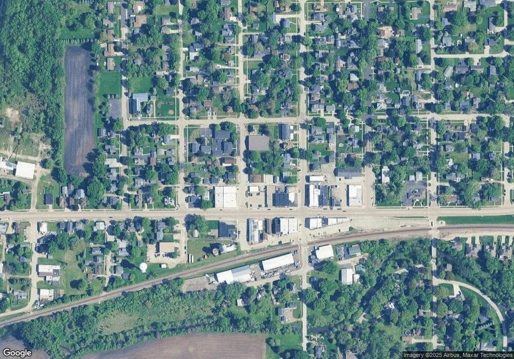
Map
Nearby Homes
- 100 E Miller Ave
- 341 N View St
- 408 E Lincoln Ave
- 140 Prairie St
- 520 N Sycamore St
- 610 N Sycamore St
- 520 N Oak St
- 620 N Sycamore St
- 541 N Oak St
- 627 James St
- Siena II Plan at Royal Estates
- Starling Plan at Royal Estates
- Meadowlark Plan at Royal Estates
- 510 N Sycamore St
- Townsend Plan at Royal Estates
- Brighton Plan at Royal Estates
- Wren Plan at Royal Estates
- 650 Meadow Ln
- 527 Prairie St
- 210 Christensen St
- 140 N May St
- 142 W Lincoln Ave
- 159 N Sycamore St
- 150 W Lincoln Ave
- 155 N May St
- 149 N Sycamore St
- 210 W Lincoln Ave
- 100 E Lincoln Ave Unit 5
- 100 E Lincoln Ave Unit 4
- 101 W Lincoln Ave
- 100 E Lincoln Ave
- 149 W Lincoln Ave
- 125 S May St
- 126 W Lincoln Ave
- 133 W Lincoln Ave
- 242 W Lincoln Ave
- 137 S May St
- 156 N Sycamore St
- 164 N Sycamore St
- 110 E Lincoln Ave Unit 6