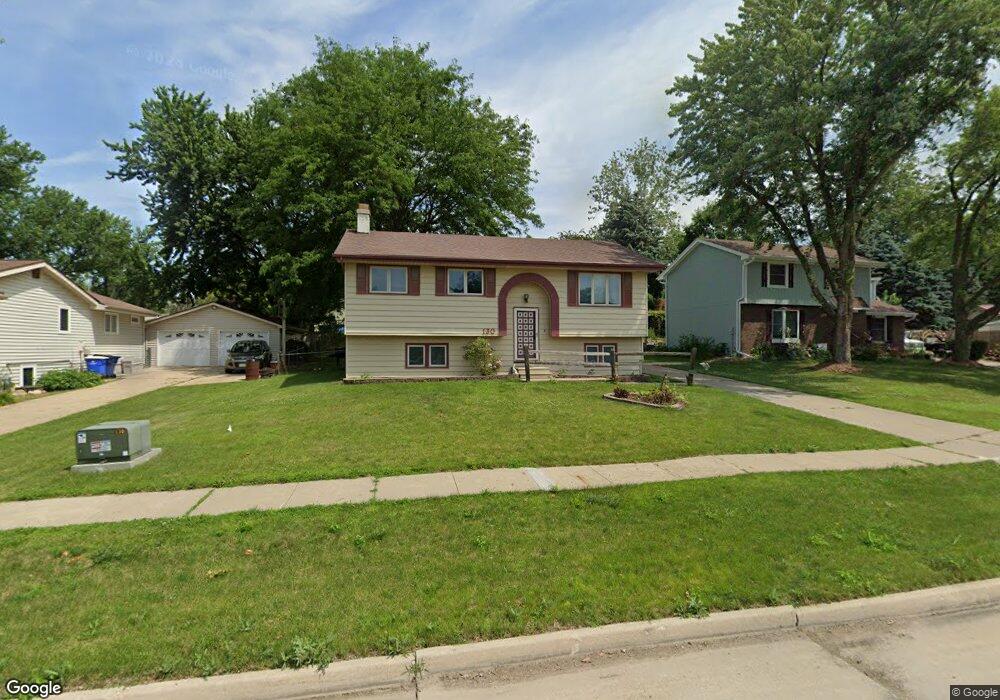
130 New Castle Dr Des Moines, IA 50320
Warren County NeighborhoodEstimated Value: $218,000 - $254,000
4
Beds
3
Baths
959
Sq Ft
$248/Sq Ft
Est. Value
About This Home
This home is located at 130 New Castle Dr, Des Moines, IA 50320 and is currently estimated at $237,372, approximately $247 per square foot. 130 New Castle Dr is a home located in Warren County with nearby schools including Studebaker Elementary School, Mccombs Middle School, and Lincoln High School.
Ownership History
Date
Name
Owned For
Owner Type
Purchase Details
Closed on
May 13, 2021
Sold by
French David L and French Deanna B
Bought by
Okeefe Sean P and Okeefe Pamela
Current Estimated Value
Home Financials for this Owner
Home Financials are based on the most recent Mortgage that was taken out on this home.
Original Mortgage
$160,000
Outstanding Balance
$144,691
Interest Rate
3.1%
Mortgage Type
New Conventional
Estimated Equity
$92,681
Create a Home Valuation Report for This Property
The Home Valuation Report is an in-depth analysis detailing your home's value as well as a comparison with similar homes in the area
Home Values in the Area
Average Home Value in this Area
Purchase History
| Date | Buyer | Sale Price | Title Company |
|---|---|---|---|
| Okeefe Sean P | $200,000 | None Available |
Source: Public Records
Mortgage History
| Date | Status | Borrower | Loan Amount |
|---|---|---|---|
| Open | Okeefe Sean P | $160,000 |
Source: Public Records
Tax History Compared to Growth
Tax History
| Year | Tax Paid | Tax Assessment Tax Assessment Total Assessment is a certain percentage of the fair market value that is determined by local assessors to be the total taxable value of land and additions on the property. | Land | Improvement |
|---|---|---|---|---|
| 2025 | $2,526 | $222,000 | $25,700 | $196,300 |
| 2024 | $2,362 | $196,200 | $13,700 | $182,500 |
| 2023 | $2,334 | $196,200 | $13,700 | $182,500 |
| 2022 | $2,328 | $164,900 | $13,700 | $151,200 |
| 2021 | $2,258 | $164,900 | $13,700 | $151,200 |
| 2020 | $2,258 | $155,100 | $13,700 | $141,400 |
| 2019 | $2,236 | $155,100 | $13,700 | $141,400 |
| 2018 | $2,220 | $140,300 | $0 | $0 |
| 2017 | $2,100 | $140,300 | $0 | $0 |
| 2016 | $2,048 | $130,000 | $0 | $0 |
| 2015 | $2,048 | $130,000 | $0 | $0 |
| 2014 | $2,044 | $130,200 | $0 | $0 |
Source: Public Records
Map
Nearby Homes
- 8315 Warren Dr
- 8517 Crestview Dr
- 8053 Ridgeview Dr
- 8046 Crestview Dr
- 7910 SE 1st Ct
- 7807 SE 2nd St
- 154 Crossroads Dr
- 646 Marlou Pkwy
- 01 County Line Rd
- 00 County Line Rd
- 1 Border St
- 7221 SE 5th St
- 7611 SW 11th St
- 7500 SW 12th St
- 1115 Wade St
- 1670 E County Line Rd
- 1115 Rittenhouse St
- 1029 Bundy St
- 7306 SW 16th St
- RR Fleur Dr
- 130 Newcastle Dr
- 126 New Castle Dr
- 134 New Castle Dr
- 122 New Castle Dr
- 139 Greenfield Pkwy
- 135 Greenfield Pkwy
- 127 New Castle Dr
- 8301 Warren Dr
- 123 Greenfield Pkwy
- 8215 Crestview Dr
- 8303 Warren Dr
- 141 Greenfield Pkwy
- 8301 Crestview Dr
- 8314 Warren Dr
- 119 Greenfield Pkwy
- 8307 Warren Dr
- 8313 Crestview Dr
- 143 Greenfield Pkwy
- 8326 Warren Dr
- 134 Greenfield Pkwy