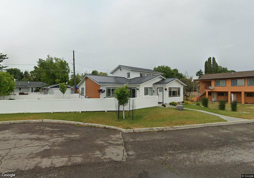
130 Park Place Kalispell, MT 59901
Estimated Value: $529,000 - $582,000
2
Beds
2
Baths
1,776
Sq Ft
$312/Sq Ft
Est. Value
About This Home
This home is located at 130 Park Place, Kalispell, MT 59901 and is currently estimated at $554,225, approximately $312 per square foot. 130 Park Place is a home located in Flathead County with nearby schools including Cornelius Hedges School, Kalispell Middle School, and Flathead High School.
Ownership History
Date
Name
Owned For
Owner Type
Purchase Details
Closed on
Oct 31, 2022
Sold by
Shepherd Glen A
Bought by
Mahowald Logan X and Mahowald Jamie J
Current Estimated Value
Home Financials for this Owner
Home Financials are based on the most recent Mortgage that was taken out on this home.
Original Mortgage
$70,000
Outstanding Balance
$67,434
Interest Rate
6.02%
Mortgage Type
Seller Take Back
Estimated Equity
$486,792
Purchase Details
Closed on
Sep 30, 2021
Sold by
Spain Danney L
Bought by
Shepherd Glen A and Shepherd Debra K
Purchase Details
Closed on
Aug 21, 2013
Sold by
Fisher Jed S and Sevier Mary C
Bought by
Spain Danney
Home Financials for this Owner
Home Financials are based on the most recent Mortgage that was taken out on this home.
Original Mortgage
$39,500
Interest Rate
4.51%
Mortgage Type
Seller Take Back
Create a Home Valuation Report for This Property
The Home Valuation Report is an in-depth analysis detailing your home's value as well as a comparison with similar homes in the area
Purchase History
| Date | Buyer | Sale Price | Title Company |
|---|---|---|---|
| Mahowald Logan X | -- | Fidelity National Title | |
| Shepherd Glen A | -- | Fidelity National Title | |
| Spain Danney | -- | Insured Titles |
Source: Public Records
Mortgage History
| Date | Status | Borrower | Loan Amount |
|---|---|---|---|
| Open | Mahowald Logan X | $70,000 | |
| Previous Owner | Spain Danney | $39,500 |
Source: Public Records
Tax History
| Year | Tax Paid | Tax Assessment Tax Assessment Total Assessment is a certain percentage of the fair market value that is determined by local assessors to be the total taxable value of land and additions on the property. | Land | Improvement |
|---|---|---|---|---|
| 2025 | $3,443 | $618,500 | $0 | $0 |
| 2024 | $3,729 | $478,800 | $0 | $0 |
| 2023 | $4,093 | $478,800 | $0 | $0 |
| 2022 | $600 | $59,672 | $0 | $0 |
| 2021 | $643 | $59,672 | $0 | $0 |
| 2020 | $620 | $36,672 | $0 | $0 |
| 2019 | $619 | $36,672 | $0 | $0 |
| 2018 | $647 | $37,776 | $0 | $0 |
| 2017 | $629 | $37,776 | $0 | $0 |
| 2016 | $474 | $31,380 | $0 | $0 |
| 2015 | $545 | $31,380 | $0 | $0 |
| 2014 | $822 | $35,169 | $0 | $0 |
Source: Public Records
Map
Nearby Homes
- 826 11th St E
- 51 Selders Ln
- 1305 4th Ave E
- 715 8th St E
- 446 Valley Dr
- 1519 Woodland Ave
- 1545 Lehi Ln
- 1705 8th Ave E
- 1681 Bull Run
- 1683 Bull Run
- 386 Willow Glen Dr
- 1690 Bull Run
- 1312 2nd Ave E
- 184 Lawrence Ln
- 442 4th Ave E
- 3953 US Highway 93 S
- 519 1st Ave E
- 484 1st Ave E
- 209 12th St W
- 305 Kelly Rd Unit F-22
Your Personal Tour Guide
Ask me questions while you tour the home.