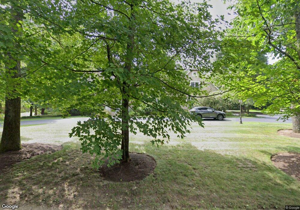
130 Pine St Needham, MA 02492
Estimated Value: $1,978,000 - $3,024,261
5
Beds
5
Baths
3,084
Sq Ft
$834/Sq Ft
Est. Value
About This Home
This home is located at 130 Pine St, Needham, MA 02492 and is currently estimated at $2,571,565, approximately $833 per square foot. 130 Pine St is a home located in Norfolk County with nearby schools including Newman Elementary School, High Rock Middle School, and Pollard Middle School.
Ownership History
Date
Name
Owned For
Owner Type
Purchase Details
Closed on
Jun 29, 2004
Sold by
Shaker Joseph R
Bought by
130 Pine Street Rt and Shaker Joseph R
Current Estimated Value
Purchase Details
Closed on
Dec 11, 1998
Sold by
Manwaring Ruth Y
Bought by
Shaker Susan R
Create a Home Valuation Report for This Property
The Home Valuation Report is an in-depth analysis detailing your home's value as well as a comparison with similar homes in the area
Home Values in the Area
Average Home Value in this Area
Purchase History
| Date | Buyer | Sale Price | Title Company |
|---|---|---|---|
| 130 Pine Street Rt | -- | -- | |
| Shaker Susan R | $465,000 | -- |
Source: Public Records
Mortgage History
| Date | Status | Borrower | Loan Amount |
|---|---|---|---|
| Open | Shaker Susan R | $650,000 | |
| Previous Owner | Shaker Susan R | $500,000 |
Source: Public Records
Tax History Compared to Growth
Tax History
| Year | Tax Paid | Tax Assessment Tax Assessment Total Assessment is a certain percentage of the fair market value that is determined by local assessors to be the total taxable value of land and additions on the property. | Land | Improvement |
|---|---|---|---|---|
| 2025 | $25,641 | $2,419,000 | $954,800 | $1,464,200 |
| 2024 | $24,740 | $1,976,000 | $839,000 | $1,137,000 |
| 2023 | $24,629 | $1,888,700 | $839,000 | $1,049,700 |
| 2022 | $22,836 | $1,708,000 | $712,800 | $995,200 |
| 2021 | $22,255 | $1,708,000 | $712,800 | $995,200 |
| 2020 | $21,239 | $1,700,500 | $712,800 | $987,700 |
| 2019 | $20,777 | $1,676,900 | $712,800 | $964,100 |
| 2018 | $19,922 | $1,676,900 | $712,800 | $964,100 |
| 2017 | $21,356 | $1,796,100 | $747,800 | $1,048,300 |
| 2016 | $20,727 | $1,796,100 | $747,800 | $1,048,300 |
| 2015 | $20,278 | $1,796,100 | $747,800 | $1,048,300 |
| 2014 | $20,550 | $1,765,500 | $747,800 | $1,017,700 |
Source: Public Records
Map
Nearby Homes
- 365 Charles River St
- 1780 Central Ave
- 37 Carleton Dr
- 189 Bridle Trail Rd
- 52 Willow St
- 1266 South St
- 68 Locust Ln
- 333 Cartwright Rd
- 1 Mill St
- 24 Deerfield Rd
- 29 Tolman St
- 90 Burr Dr
- 182 Winding River Rd
- 222 Grove St
- 15 Jenna Cir
- 287 High Rock St
- 121 Livingston Rd
- 957 South St
- 47 Emerson Rd
- 267 Dedham St
- 121 Pine St
- 116 Pine St
- 133 Pine St
- 338 Charles River St
- 311 Charles River St
- 111 Pine St
- 198 Pine St
- 310 Charles River St
- 102 Pine St
- 100 Pine St
- 320 Charles River St
- 105 Pine St
- 299 Charles River St
- 300 Charles River St
- 92 Pine St
- 379 Charles River St
- 88 Pine St
- 285 Charles River St
- 85 Pine St
- 288 Charles River St
