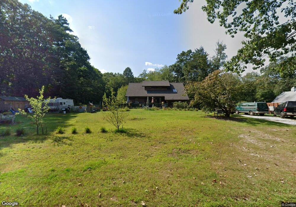
130 Podunk Rd Sturbridge, MA 01566
Estimated Value: $492,000 - $550,000
3
Beds
2
Baths
1,683
Sq Ft
$305/Sq Ft
Est. Value
About This Home
This home is located at 130 Podunk Rd, Sturbridge, MA 01566 and is currently estimated at $512,570, approximately $304 per square foot. 130 Podunk Rd is a home located in Worcester County with nearby schools including Burgess Elementary School, Tantasqua Regional Junior High School, and Tantasqua Regional High School.
Ownership History
Date
Name
Owned For
Owner Type
Purchase Details
Closed on
Oct 5, 2010
Sold by
Hamel Alan J
Bought by
Hamel Alan J and Chaput Tracy A
Current Estimated Value
Purchase Details
Closed on
Apr 12, 1977
Bought by
Hamel Alan J and Chaput Tracy A
Create a Home Valuation Report for This Property
The Home Valuation Report is an in-depth analysis detailing your home's value as well as a comparison with similar homes in the area
Home Values in the Area
Average Home Value in this Area
Purchase History
| Date | Buyer | Sale Price | Title Company |
|---|---|---|---|
| Hamel Alan J | -- | -- | |
| Hamel Alan J | -- | -- |
Source: Public Records
Mortgage History
| Date | Status | Borrower | Loan Amount |
|---|---|---|---|
| Previous Owner | Hamel Alan J | $100,000 |
Source: Public Records
Tax History Compared to Growth
Tax History
| Year | Tax Paid | Tax Assessment Tax Assessment Total Assessment is a certain percentage of the fair market value that is determined by local assessors to be the total taxable value of land and additions on the property. | Land | Improvement |
|---|---|---|---|---|
| 2025 | $6,920 | $434,400 | $92,100 | $342,300 |
| 2024 | $6,824 | $413,800 | $90,200 | $323,600 |
| 2023 | $6,424 | $355,500 | $79,300 | $276,200 |
| 2022 | $6,212 | $324,400 | $72,300 | $252,100 |
| 2021 | $5,860 | $308,100 | $69,300 | $238,800 |
| 2020 | $5,860 | $308,100 | $69,300 | $238,800 |
| 2019 | $5,573 | $291,000 | $71,000 | $220,000 |
| 2018 | $5,354 | $275,400 | $67,900 | $207,500 |
| 2017 | $5,100 | $262,900 | $65,800 | $197,100 |
| 2016 | $4,973 | $258,900 | $64,000 | $194,900 |
| 2015 | $4,981 | $258,900 | $64,000 | $194,900 |
Source: Public Records
Map
Nearby Homes
- 29, 31, 33 Ladd Rd
- 52 & 54 Wells Park Rd
- 74 Hill Rd Unit A
- 38 N Sullivan Rd
- 204 Brookfield Rd
- 68 - 74 Sturbridge Rd
- Lot 3 0 N Sullivan Rd
- Lot 6 0 N Sullivan Rd
- Lot 5 0 N Sullivan Rd
- Lot 4 0 N Sullivan Rd
- 6 S Sullivan Rd
- 45 Jennings Rd
- 323 New Boston Rd
- 49 Jennings Rd
- 132 Lane 9
- 86 Berry Corner Rd
- 149 Berry Corner Rd
- 127 Mcgilpin Rd
- 28 Southbridge Rd Unit 402
- 28 Allen Rd