130 Rankin Rd Bristol, NH 03222
Estimated Value: $1,852,000 - $3,285,876
3
Beds
3
Baths
4,900
Sq Ft
$524/Sq Ft
Est. Value
About This Home
This home is located at 130 Rankin Rd, Bristol, NH 03222 and is currently estimated at $2,568,938, approximately $524 per square foot. 130 Rankin Rd is a home located in Grafton County with nearby schools including Bridgewater-Hebron Village School.
Ownership History
Date
Name
Owned For
Owner Type
Purchase Details
Closed on
Aug 14, 2019
Sold by
Eppolito John A
Bought by
Eppolito John A and Eppolito Claire A
Current Estimated Value
Purchase Details
Closed on
May 8, 2014
Sold by
Eppolito Tamara J
Bought by
Eppolito John A
Home Financials for this Owner
Home Financials are based on the most recent Mortgage that was taken out on this home.
Original Mortgage
$1,200,000
Interest Rate
4.33%
Mortgage Type
Unknown
Create a Home Valuation Report for This Property
The Home Valuation Report is an in-depth analysis detailing your home's value as well as a comparison with similar homes in the area
Home Values in the Area
Average Home Value in this Area
Purchase History
| Date | Buyer | Sale Price | Title Company |
|---|---|---|---|
| Eppolito John A | -- | -- | |
| Eppolito John A | -- | -- | |
| Eppolito John A | -- | -- | |
| Eppolito John A | -- | -- |
Source: Public Records
Mortgage History
| Date | Status | Borrower | Loan Amount |
|---|---|---|---|
| Previous Owner | Eppolito John A | $1,200,000 | |
| Previous Owner | Eppolito John A | $560,000 | |
| Previous Owner | Eppolito John A | $174,500 |
Source: Public Records
Tax History Compared to Growth
Tax History
| Year | Tax Paid | Tax Assessment Tax Assessment Total Assessment is a certain percentage of the fair market value that is determined by local assessors to be the total taxable value of land and additions on the property. | Land | Improvement |
|---|---|---|---|---|
| 2024 | $14,519 | $2,688,700 | $332,400 | $2,356,300 |
| 2023 | $12,396 | $1,538,000 | $242,400 | $1,295,600 |
| 2022 | $12,596 | $1,524,900 | $242,500 | $1,282,400 |
| 2021 | $12,613 | $1,525,200 | $242,800 | $1,282,400 |
| 2020 | $22,301 | $1,525,000 | $242,600 | $1,282,400 |
| 2019 | $4,161 | $1,256,100 | $238,000 | $1,018,100 |
| 2018 | $11,900 | $1,255,300 | $237,200 | $1,018,100 |
| 2017 | $12,076 | $1,255,300 | $237,200 | $1,018,100 |
| 2016 | $11,837 | $1,255,200 | $237,100 | $1,018,100 |
| 2015 | $12,361 | $1,270,400 | $237,800 | $1,032,600 |
| 2014 | $7,276 | $779,900 | $237,800 | $542,100 |
Source: Public Records
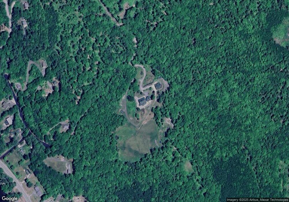
Map
Nearby Homes
- 862 Mayhew Turnpike Unit 1
- 114 Ledgewood Terrace
- 199 Cottage City Rd
- 383 Wulamat Rd
- 94 Mandi Ln
- 10 Merrill Rd
- 40 Adams Rd
- 497 W Shore Rd
- 35 Manor Estates Dr Unit 14
- 26 Don Gerry Rd
- 4 Birchwood Dr Unit A
- 00 Ledgewood Cir Unit 7
- Lot 7 Hall Rd
- Lots 1 & 2 Hall Rd
- Lot 26 Skyline Dr
- 0 Skyline Dr Unit 19
- 125 Verrill Rd
- 00 Peaked Hill Rd Unit 7.1, 7.2, 7.3, 7.4,
- 341 Perkins Hill Rd
- 1555 River Rd
- 129 Rankin Rd
- 00 Off Rankin Rd
- 32 Rankin Rd
- 4 Chrisden Dr
- 1030 Mayhew Turnpike
- 54 Chrisden Dr
- 5 Chrisden
- 10 Chrisden Dr
- Lot 10 Chrisden Dr
- 0 Chrisden Dr Unit 5
- 70 Chrisden Dr
- 1074 Mayhew Turnpike
- 1096 Mayhew Turnpike
- 24 Scott Dr
- 60 Chrisden Dr
- 82 Chrisden Dr
- 21 Scott Dr
- 1198 Mayhew # 9 Turnpike Unit 9
- 1006 Mayhew Turnpike
- 47 Chrisden Dr