130 Robin Rd Auburn, CA 95603
Northeast Auburn NeighborhoodEstimated Value: $397,000 - $571,000
About This Home
This home is located at 130 Robin Rd, Auburn, CA 95603 and is currently estimated at $474,448, approximately $651 per square foot. 130 Robin Rd is a home located in Placer County with nearby schools including Placer High School, Bowman Charter School, and Alta Vista Community Charter.
Ownership History
We collect this data history from publicly available records. To have your information removed, we recommend requesting removal directly through your county’s website.
Purchase Details
Home Financials for this Owner
Home Financials are based on the most recent Mortgage that was taken out on this home.Home Values in the Area
Average Home Value in this Area
Purchase History
We collect this data history from publicly available records. To have your information removed, we recommend requesting removal directly through your county’s website.
| Date | Buyer | Sale Price | Title Company |
|---|---|---|---|
| $275,000 | Sierra Valley Title |
Mortgage History
We collect this data history from publicly available records. To have your information removed, we recommend requesting removal directly through your county’s website.
| Date | Status | Borrower | Loan Amount |
|---|---|---|---|
| Open | $247,500 |
Tax History
We collect this data history from publicly available records. To have your information removed, we recommend requesting removal directly through your county’s website.
| Year | Tax Paid | Tax Assessment Tax Assessment Total Assessment is a certain percentage of the fair market value that is determined by local assessors to be the total taxable value of land and additions on the property. | Land | Improvement |
|---|---|---|---|---|
| 2025 | $4,127 | $398,266 | $144,820 | $253,446 |
| 2023 | $4,127 | $382,803 | $139,198 | $243,605 |
| 2022 | $4,063 | $375,298 | $136,469 | $238,829 |
| 2021 | $3,918 | $367,941 | $133,794 | $234,147 |
| 2020 | $3,890 | $364,170 | $132,423 | $231,747 |
| 2019 | $3,819 | $357,030 | $129,827 | $227,203 |
| 2018 | $3,612 | $350,031 | $127,282 | $222,749 |
| 2017 | $3,548 | $343,169 | $124,787 | $218,382 |
| 2016 | $3,473 | $336,441 | $122,341 | $214,100 |
| 2015 | $3,389 | $331,389 | $120,504 | $210,885 |
| 2014 | $3,338 | $324,899 | $118,144 | $206,755 |
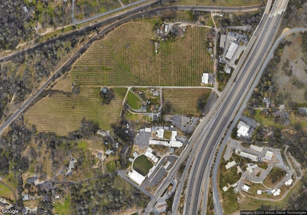
Map
- 115 Martindale Ln
- 545 Old Airport Rd
- 0 Old Airport Rd Unit 225114571
- 0 Richards Ln Unit 225114570
- 1063 Skyline Dr
- 0 Fern Place
- 1001 Old Airport Rd
- 180 E Hillcrest Dr
- 187 E Hillcrest Dr
- 1545 Wimbledon Dr
- 0 Tree Top Ln
- 12620 Quail Hollow Dr
- 12520 Killarney Way
- 0 Krueger Dr Unit 226003256
- 230 Oakhill Way
- 214 Alta Dr
- 12500 Montalvo Ct
- 1045 Fox Run Ct
- 123 Upper Auburn Heights
- 1050 Fox Run Ct
- 131 Robin Rd
- 136 Robin Rd
- 221 Robin Rd
- 171 Apple Ln
- 13745 Bowman Rd
- 101 Apple Ln
- 110 Apple Ln
- 13743 Bowman Rd
- 183 Apple Ln
- 13741 Bowman Rd
- 0 Edgehill Ln
- 125 Rhodes View Dr
- 130 Martindale Ln
- 820 Brown Gables Rd
- 800 Brown Gables Rd
- 13739 Bowman Rd
- 13551 Bowman Rd
- 13725 Bowman Rd
- 13737 Bowman Rd
- 140 Martindale Ln
Ask me questions while you tour the home.