130 Sabbady Point Rd Windham, ME 04062
Estimated Value: $662,000 - $2,311,883
4
Beds
4
Baths
3,123
Sq Ft
$476/Sq Ft
Est. Value
About This Home
This home is located at 130 Sabbady Point Rd, Windham, ME 04062 and is currently estimated at $1,486,942, approximately $476 per square foot. 130 Sabbady Point Rd is a home located in Cumberland County with nearby schools including Manchester School, Windham Primary School, and Windham Middle School.
Ownership History
Date
Name
Owned For
Owner Type
Purchase Details
Closed on
Nov 25, 2014
Sold by
Gannon William J
Bought by
Gannon William J and Gannon Donna E
Current Estimated Value
Purchase Details
Closed on
Nov 20, 2008
Sold by
Gannon Dolores D
Bought by
Gianfalla Catherine G and Gannon William J
Create a Home Valuation Report for This Property
The Home Valuation Report is an in-depth analysis detailing your home's value as well as a comparison with similar homes in the area
Home Values in the Area
Average Home Value in this Area
Purchase History
| Date | Buyer | Sale Price | Title Company |
|---|---|---|---|
| Gannon William J | -- | -- | |
| Gianfalla Catherine G | -- | -- |
Source: Public Records
Tax History Compared to Growth
Tax History
| Year | Tax Paid | Tax Assessment Tax Assessment Total Assessment is a certain percentage of the fair market value that is determined by local assessors to be the total taxable value of land and additions on the property. | Land | Improvement |
|---|---|---|---|---|
| 2024 | $18,016 | $1,570,700 | $1,004,500 | $566,200 |
| 2023 | $16,787 | $1,498,800 | $934,200 | $564,600 |
| 2022 | $15,337 | $1,321,000 | $763,900 | $557,100 |
| 2021 | $12,247 | $972,000 | $538,400 | $433,600 |
| 2020 | $13,794 | $919,600 | $509,600 | $410,000 |
| 2019 | $4,517 | $919,600 | $509,600 | $410,000 |
| 2018 | $4,324 | $711,000 | $485,500 | $225,500 |
| 2017 | $7,283 | $443,300 | $424,300 | $19,000 |
| 2016 | $3,988 | $445,400 | $424,300 | $21,100 |
| 2015 | $6,748 | $445,400 | $424,300 | $21,100 |
| 2014 | $6,534 | $445,400 | $424,300 | $21,100 |
| 2013 | $6,436 | $445,400 | $424,300 | $21,100 |
Source: Public Records
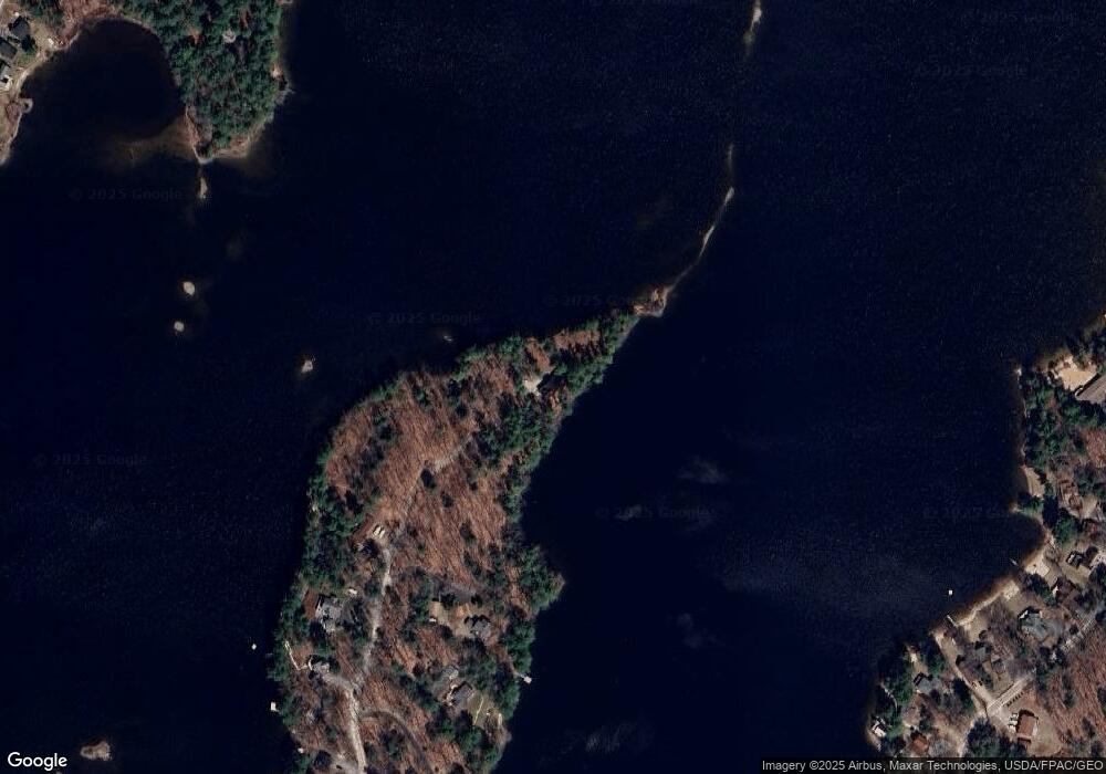
Map
Nearby Homes
- 5 Pride Ln
- 3 Pride Ln
- 8 Lily Ln
- 80 Sky Dr
- 219 Tandberg Trail
- 14 Sabbady Point Rd
- 1 Chipmunk Dr
- 7 Baxter Woods Trail
- 5 Stagecoach Ln
- 00 Dusty Rhoades Ln
- Lot 14 Aerie Dr
- 34 Robin Ln
- 10 Arlene Ln
- 36 Whites Bridge Rd Unit 8
- Lot #1 Chamberlain Dr
- 20 Buckfield Dr
- 0 Turning Leaf Dr Unit 1640377
- lot #8 Bedrock Terrace
- 99 Enterprise Dr
- 103 Basin Rd
- 127 Sabbady Point Rd
- 128 Sabbady Point Rd
- 125 Sabbady Point Rd
- 126 Sabbady Point Rd
- 122 Sabbady Point Rd
- 109 Sabbady Point Rd
- 121 Sabbady Point Rd
- 118 Sabbady Point Rd
- 116 Sabbady Point Rd
- 117 Sabbady Point Rd
- 114 Sabbady Point Rd
- 112 Sabbady Point Rd
- 108 Sabbady Point Rd
- 14 Sheldrake Point Rd
- 78 Brown Cove Rd
- 80 Brown Cove Rd
- 82 Brown Cove Rd
- 7 Passby Point
- 84 Brown Cove Rd
- 76 Brown Cove Rd