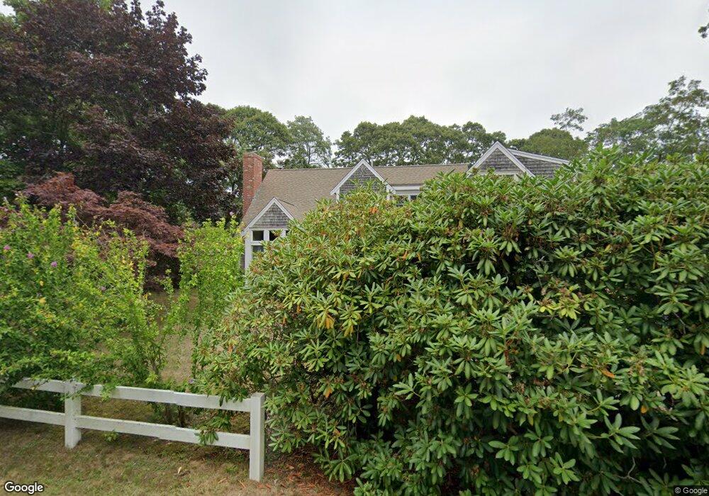
130 Silver Oak Rd Eastham, MA 02642
Estimated Value: $1,061,000 - $1,382,000
3
Beds
4
Baths
2,712
Sq Ft
$463/Sq Ft
Est. Value
About This Home
This home is located at 130 Silver Oak Rd, Eastham, MA 02642 and is currently estimated at $1,255,735, approximately $463 per square foot. 130 Silver Oak Rd is a home located in Barnstable County with nearby schools including Eastham Elementary School, Nauset Regional Middle School, and Nauset Regional High School.
Ownership History
Date
Name
Owned For
Owner Type
Purchase Details
Closed on
Sep 10, 2020
Sold by
Carboni Kristin M
Bought by
Keler Ron and Keler Tali
Current Estimated Value
Home Financials for this Owner
Home Financials are based on the most recent Mortgage that was taken out on this home.
Original Mortgage
$510,400
Outstanding Balance
$452,946
Interest Rate
2.9%
Mortgage Type
Purchase Money Mortgage
Estimated Equity
$802,789
Purchase Details
Closed on
Oct 1, 1993
Sold by
Austin John E and Pioneer Financial
Bought by
Newton Oak Park Inc
Create a Home Valuation Report for This Property
The Home Valuation Report is an in-depth analysis detailing your home's value as well as a comparison with similar homes in the area
Home Values in the Area
Average Home Value in this Area
Purchase History
| Date | Buyer | Sale Price | Title Company |
|---|---|---|---|
| Keler Ron | $765,000 | None Available | |
| Newton Oak Park Inc | $70,000 | -- |
Source: Public Records
Mortgage History
| Date | Status | Borrower | Loan Amount |
|---|---|---|---|
| Open | Keler Ron | $510,400 | |
| Previous Owner | Newton Oak Park Inc | $25,000 | |
| Previous Owner | Newton Oak Park Inc | $25,000 | |
| Previous Owner | Newton Oak Park Inc | $303,500 | |
| Previous Owner | Newton Oak Park Inc | $8,700 |
Source: Public Records
Tax History
| Year | Tax Paid | Tax Assessment Tax Assessment Total Assessment is a certain percentage of the fair market value that is determined by local assessors to be the total taxable value of land and additions on the property. | Land | Improvement |
|---|---|---|---|---|
| 2025 | $8,680 | $1,125,800 | $285,200 | $840,600 |
| 2024 | $7,726 | $1,102,100 | $276,900 | $825,200 |
| 2023 | $7,056 | $974,600 | $256,400 | $718,200 |
| 2022 | $6,430 | $749,400 | $228,900 | $520,500 |
| 2021 | $6,249 | $680,700 | $208,100 | $472,600 |
| 2020 | $5,752 | $659,600 | $212,400 | $447,200 |
| 2019 | $5,171 | $626,800 | $187,500 | $439,300 |
| 2018 | $5,082 | $608,600 | $182,000 | $426,600 |
| 2017 | $4,749 | $601,200 | $178,400 | $422,800 |
| 2016 | $4,306 | $578,700 | $178,400 | $400,300 |
| 2015 | $4,033 | $568,000 | $174,900 | $393,100 |
Source: Public Records
Map
Nearby Homes
- 340 Salt Works Rd
- 115 Wamsutta Rd
- 65 Harmes Way
- 85 Huckleberry Ln
- 18 Jay Dee Ln
- 10 Bradford Ln
- 20 Oak Rd
- 5470 State Hwy
- 100 Gigi Ln
- 255 Massasoit Rd
- 49 Village Ln
- 46 Spring Brook Rd
- 82 Old Orchard Rd
- 600 Kingsbury Beach Rd
- 300 School House Rd
- 70 Deerfield Ln
- 50 Surrey Dr
- 157 Brownell Rd
- 21 Locust Rd Unit 21
- 245 Nauset Light Beach Rd
- 130 Silver Spring Beach Rd
- 110 Silver Spring Beach Rd
- 125 Pierce Rd
- 70 Pierce Rd
- 150 Silver Spring Beach Rd
- 125 Silver Spring Beach Rd
- 145 Silver Spring Beach Rd
- 120 Pierce Rd
- 425 Steele Rd
- 50 Pierce Rd
- 45 Pierce Rd
- 80 Silver Spring Beach Rd
- 170 Silver Spring Beach Rd
- 395 Steele Rd
- 85 Silver Spring Beach Rd
- 175 Silver Spring Beach Rd
- 445 Steele Rd
- 365 Steele Rd
- 16 Bangs Rd
- 12 Bangs Rd
Your Personal Tour Guide
Ask me questions while you tour the home.