130 Slice of Heaven Dr Toccoa, GA 30577
Estimated Value: $566,000 - $653,000
4
Beds
4
Baths
2,460
Sq Ft
$245/Sq Ft
Est. Value
About This Home
This home is located at 130 Slice of Heaven Dr, Toccoa, GA 30577 and is currently estimated at $602,333, approximately $244 per square foot. 130 Slice of Heaven Dr is a home located in Stephens County with nearby schools including Stephens County High School.
Ownership History
Date
Name
Owned For
Owner Type
Purchase Details
Closed on
Jul 12, 2021
Sold by
Wood Bernard D
Bought by
Wood Bernard D and Wood Beverly Margaret
Current Estimated Value
Purchase Details
Closed on
Oct 25, 2000
Bought by
<Buyer Info Not Present>
Purchase Details
Closed on
Sep 1, 1992
Bought by
Wood Bernard D
Purchase Details
Closed on
Feb 1, 1992
Bought by
<Buyer Info Not Present>
Purchase Details
Closed on
Jul 1, 1986
Bought by
<Buyer Info Not Present>
Create a Home Valuation Report for This Property
The Home Valuation Report is an in-depth analysis detailing your home's value as well as a comparison with similar homes in the area
Home Values in the Area
Average Home Value in this Area
Purchase History
| Date | Buyer | Sale Price | Title Company |
|---|---|---|---|
| Wood Bernard D | -- | -- | |
| <Buyer Info Not Present> | -- | -- | |
| Wood Bernard D | -- | -- | |
| <Buyer Info Not Present> | $46,500 | -- | |
| <Buyer Info Not Present> | $17,500 | -- |
Source: Public Records
Tax History Compared to Growth
Tax History
| Year | Tax Paid | Tax Assessment Tax Assessment Total Assessment is a certain percentage of the fair market value that is determined by local assessors to be the total taxable value of land and additions on the property. | Land | Improvement |
|---|---|---|---|---|
| 2025 | $3,080 | $200,929 | $60,788 | $140,141 |
| 2024 | $2,694 | $152,892 | $60,788 | $92,104 |
| 2023 | $2,441 | $146,430 | $60,788 | $85,642 |
| 2022 | $3,161 | $141,055 | $60,286 | $80,769 |
| 2021 | $2,141 | $103,348 | $28,600 | $74,748 |
| 2020 | $2,146 | $102,828 | $28,600 | $74,228 |
| 2019 | $2,405 | $102,828 | $28,600 | $74,228 |
| 2017 | $2,448 | $102,990 | $28,600 | $74,390 |
| 2016 | $2,410 | $102,990 | $28,600 | $74,389 |
Source: Public Records
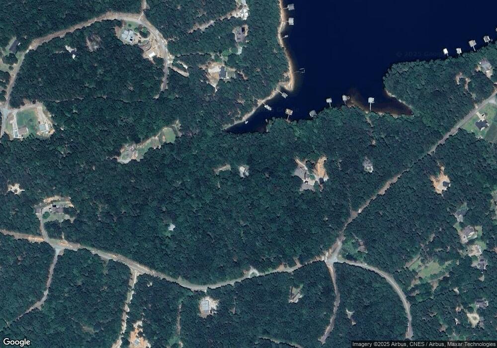
Map
Nearby Homes
- 49 Currahee Point
- 287 Spring Branch Cir
- 245 Currahee Place
- 455 Chase Landing Rd
- 88 Currahee Place
- 604 Mckinney Way
- 173 Laura Dr
- 347 River Trail
- 0 Cheyenne Trail Unit 10633853
- 679 Suttles Rd
- 120 Ridgemore Cir
- 3 Lost Forest Dr
- Lot 34 Stillwater Place
- Lot 6 Lost Forest Dr
- 9B Lost Forest Dr
- 0 Lost Forest Dr
- 02 Wood Valley Dr
- 0 Wildwood Trail
- 0 Oliver Rd Unit 20284767
- 0 Oliver Rd Unit 1550308
- 321 Spring Branch Cir
- 321 Spring Branch Cir Unit Deep Water
- 325 Currahee Ridge Rd
- 429 Currahee Ridge
- 2756 E Silver Shoals Rd
- 429 Currahee Ridge Rd
- 2420 E Silver Shoals Rd
- 71 Currahee Point 0
- 213 Currahee Ridge Rd
- 71 Currahee Point
- 309 Spring Branch Cir
- 315 Spring Branch Cir
- 490 Currahee Ridge Rd
- 0 Currahee Ridge Unit 2616925
- 0 Currahee Ridge Unit LOT 26 3089802
- 0 Currahee Ridge Unit 28C,28D,29 7075978
- 0 Currahee Ridge Unit LOT 26 7186725
- 0 Currahee Ridge Unit 26 7393794
- 28B Currahee Ridge Rd
- 28 Currahee Ridge Rd