Estimated Value: $334,015 - $355,000
4
Beds
2
Baths
1,560
Sq Ft
$221/Sq Ft
Est. Value
About This Home
This home is located at 130 Stuart Ct, Luray, VA 22835 and is currently estimated at $344,508, approximately $220 per square foot. 130 Stuart Ct is a home located in Page County.
Ownership History
Date
Name
Owned For
Owner Type
Purchase Details
Closed on
May 6, 2024
Sold by
Skyridge Developments Llc
Bought by
Henson Katelynn and Henson Brandon
Current Estimated Value
Home Financials for this Owner
Home Financials are based on the most recent Mortgage that was taken out on this home.
Original Mortgage
$263,900
Outstanding Balance
$259,924
Interest Rate
6.5%
Mortgage Type
Construction
Estimated Equity
$84,584
Purchase Details
Closed on
Oct 3, 2008
Create a Home Valuation Report for This Property
The Home Valuation Report is an in-depth analysis detailing your home's value as well as a comparison with similar homes in the area
Home Values in the Area
Average Home Value in this Area
Purchase History
| Date | Buyer | Sale Price | Title Company |
|---|---|---|---|
| Henson Katelynn | $329,900 | -- | |
| -- | $144,000 | -- |
Source: Public Records
Mortgage History
| Date | Status | Borrower | Loan Amount |
|---|---|---|---|
| Open | Henson Katelynn | $263,900 |
Source: Public Records
Tax History Compared to Growth
Tax History
| Year | Tax Paid | Tax Assessment Tax Assessment Total Assessment is a certain percentage of the fair market value that is determined by local assessors to be the total taxable value of land and additions on the property. | Land | Improvement |
|---|---|---|---|---|
| 2025 | $1,260 | $174,900 | $30,000 | $144,900 |
| 2024 | $1,260 | $174,900 | $30,000 | $144,900 |
| 2023 | $1,244 | $170,400 | $30,000 | $140,400 |
| 2022 | $1,244 | $170,400 | $30,000 | $140,400 |
| 2021 | $1,244 | $170,400 | $30,000 | $140,400 |
| 2020 | $1,057 | $144,800 | $30,000 | $114,800 |
| 2019 | $1,057 | $144,800 | $30,000 | $114,800 |
| 2018 | $1,014 | $144,800 | $30,000 | $114,800 |
| 2017 | $956 | $144,800 | $30,000 | $114,800 |
| 2016 | $956 | $144,800 | $30,000 | $114,800 |
| 2015 | $991 | $154,900 | $30,000 | $124,900 |
| 2014 | $991 | $154,900 | $30,000 | $124,900 |
Source: Public Records
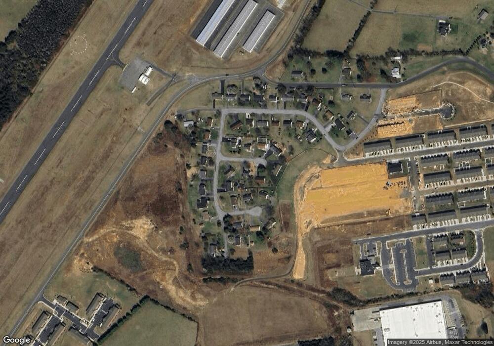
Map
Nearby Homes
- 164 Rae Ct
- 160 Rae Ct
- 156 Rae Ct
- 148 Rae Ct
- 144 Rae Ct
- 140 Rae Ct
- 115 Rae Ct
- St. Ashley Plan at Luray Landing
- 0 Baker Dr
- Delmar Plan at Luray Landing
- 0 Cave Hill Rd
- 267 Baker Dr
- 0 General Dr & Alison Dr Unit VAPA2002608
- 0 General Dr
- 1819 Us Highway 211 W
- 613 Airport Rd
- 2370 Us Highway 211 W
- 34 Spirea Place
- 268 Shenandoah Dr
- 0 Airstrip Rd Unit VAPA2005214