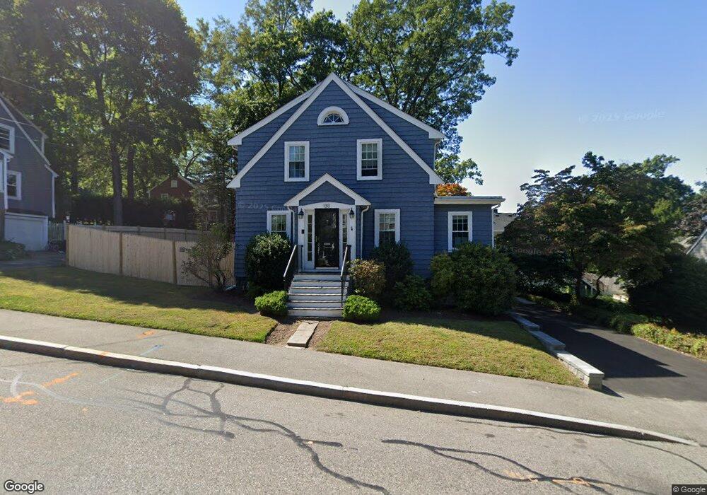
130 Walnut St Braintree, MA 02184
North Braintree NeighborhoodEstimated Value: $663,478 - $778,000
3
Beds
2
Baths
1,260
Sq Ft
$559/Sq Ft
Est. Value
About This Home
This home is located at 130 Walnut St, Braintree, MA 02184 and is currently estimated at $704,620, approximately $559 per square foot. 130 Walnut St is a home located in Norfolk County with nearby schools including Meeting House Montessori School, South Shore SDA School, and Thayer Academy.
Ownership History
Date
Name
Owned For
Owner Type
Purchase Details
Closed on
Aug 26, 2011
Sold by
Church Danny D and Church Heidi L
Bought by
Gay Philip D and Gay-Jennings Robyn T
Current Estimated Value
Home Financials for this Owner
Home Financials are based on the most recent Mortgage that was taken out on this home.
Original Mortgage
$297,000
Outstanding Balance
$249,557
Interest Rate
5%
Mortgage Type
Purchase Money Mortgage
Estimated Equity
$455,063
Purchase Details
Closed on
Sep 1, 2005
Sold by
Simpson Elsie M
Bought by
Church Danny D and Church Heidi L
Home Financials for this Owner
Home Financials are based on the most recent Mortgage that was taken out on this home.
Original Mortgage
$321,750
Interest Rate
5.81%
Mortgage Type
Purchase Money Mortgage
Create a Home Valuation Report for This Property
The Home Valuation Report is an in-depth analysis detailing your home's value as well as a comparison with similar homes in the area
Home Values in the Area
Average Home Value in this Area
Purchase History
| Date | Buyer | Sale Price | Title Company |
|---|---|---|---|
| Gay Philip D | $330,000 | -- | |
| Church Danny D | $357,500 | -- |
Source: Public Records
Mortgage History
| Date | Status | Borrower | Loan Amount |
|---|---|---|---|
| Open | Gay Philip D | $297,000 | |
| Previous Owner | Church Danny D | $321,750 |
Source: Public Records
Tax History Compared to Growth
Tax History
| Year | Tax Paid | Tax Assessment Tax Assessment Total Assessment is a certain percentage of the fair market value that is determined by local assessors to be the total taxable value of land and additions on the property. | Land | Improvement |
|---|---|---|---|---|
| 2025 | $5,867 | $587,900 | $364,300 | $223,600 |
| 2024 | $5,013 | $528,800 | $325,200 | $203,600 |
| 2023 | $4,753 | $487,000 | $294,900 | $192,100 |
| 2022 | $4,500 | $452,300 | $260,200 | $192,100 |
| 2021 | $4,386 | $440,800 | $260,200 | $180,600 |
| 2020 | $3,959 | $401,500 | $229,000 | $172,500 |
| 2019 | $3,940 | $390,500 | $229,000 | $161,500 |
| 2018 | $3,823 | $362,700 | $208,100 | $154,600 |
| 2017 | $3,797 | $353,500 | $208,100 | $145,400 |
| 2016 | $3,584 | $326,400 | $187,300 | $139,100 |
| 2015 | $3,556 | $321,200 | $187,300 | $133,900 |
| 2014 | $3,183 | $278,700 | $155,200 | $123,500 |
Source: Public Records
Map
Nearby Homes
- 78 Windemere Cir
- 6 Oak St
- 63 Dickerman Ln
- 29 Joseph Rd
- 37 Monatiquot Ave
- 491 Washington St Unit 1
- 305 Franklin St
- 47 Addison St
- 9 Independence Ave Unit 307
- 106 Home Park Rd
- 347 Centre St
- 21 Totman St Unit 202
- 21 Totman St Unit 309
- 21 Totman St Unit Model-1
- 21 Totman St Unit 209
- 21 Totman St Unit 203
- 21 Totman St Unit 2
- 192 Federal Ave Unit B
- 39 Morrison Rd
- 808 Willard St Unit F11
- 124 Walnut St
- 146 Parkside Ave
- 140 Parkside Ave
- 131 Walnut St
- 152 Parkside Ave
- 123 Walnut St
- 137 Walnut St
- 134 Parkside Ave
- 142 Walnut St
- 114 Walnut St
- 187 Storrs Ave
- 141 Walnut St
- 162 Parkside Ave
- 113 Walnut St
- 3 Parkside Cir
- 139 Parkside Ave
- 181 Storrs Ave
- 108 Walnut St
- 133 Parkside Ave
- 84 Windemere Cir