130 Warrington Farm Ln Queenstown, MD 21658
Estimated Value: $515,239 - $722,000
--
Bed
2
Baths
2,430
Sq Ft
$258/Sq Ft
Est. Value
About This Home
This home is located at 130 Warrington Farm Ln, Queenstown, MD 21658 and is currently estimated at $625,810, approximately $257 per square foot. 130 Warrington Farm Ln is a home located in Queen Anne's County with nearby schools including Kennard Elementary School, Centreville Middle School, and Queen Anne's County High School.
Ownership History
Date
Name
Owned For
Owner Type
Purchase Details
Closed on
Jun 8, 2006
Sold by
Mcclyment G Scott
Bought by
Mcclyment Gregory Scott
Current Estimated Value
Purchase Details
Closed on
Oct 24, 1995
Sold by
Mcclyment G Scott and Mcclyment Tammy V
Bought by
Mcclyment G Scott
Purchase Details
Closed on
Apr 17, 1995
Sold by
Gosnell Denton W
Bought by
Magnolia Michael and Magnolia Gwendolyn
Create a Home Valuation Report for This Property
The Home Valuation Report is an in-depth analysis detailing your home's value as well as a comparison with similar homes in the area
Home Values in the Area
Average Home Value in this Area
Purchase History
| Date | Buyer | Sale Price | Title Company |
|---|---|---|---|
| Mcclyment Gregory Scott | -- | -- | |
| Mcclyment G Scott | $10,000 | -- | |
| Magnolia Michael | $20,000 | -- |
Source: Public Records
Mortgage History
| Date | Status | Borrower | Loan Amount |
|---|---|---|---|
| Closed | Magnolia Michael | -- |
Source: Public Records
Tax History Compared to Growth
Tax History
| Year | Tax Paid | Tax Assessment Tax Assessment Total Assessment is a certain percentage of the fair market value that is determined by local assessors to be the total taxable value of land and additions on the property. | Land | Improvement |
|---|---|---|---|---|
| 2025 | $1,532 | $421,700 | $0 | $0 |
| 2024 | $1,357 | $403,100 | $164,200 | $238,900 |
| 2023 | $1,196 | $387,600 | $0 | $0 |
| 2022 | $1,527 | $372,100 | $0 | $0 |
| 2021 | $1,762 | $356,600 | $137,700 | $218,900 |
| 2020 | $1,762 | $338,500 | $0 | $0 |
| 2019 | $1,608 | $320,400 | $0 | $0 |
| 2018 | $2,959 | $302,300 | $112,700 | $189,600 |
| 2017 | $2,959 | $302,300 | $0 | $0 |
| 2016 | -- | $302,300 | $0 | $0 |
| 2015 | $2,868 | $305,200 | $0 | $0 |
| 2014 | $2,868 | $305,200 | $0 | $0 |
Source: Public Records
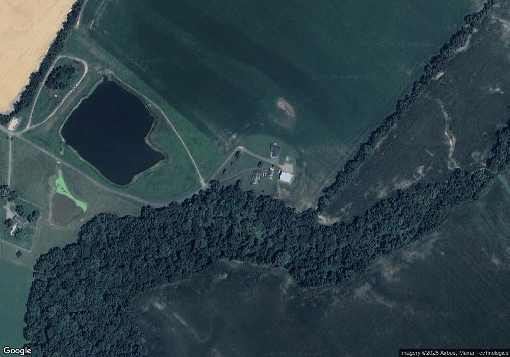
Map
Nearby Homes
- 103 Trevors Ct
- 315 Nottingham Ln
- 518 Bryce Rd
- 111 Mt Mills Ln
- 7204 Main St
- 0 U S 301
- 108 Wall St
- 100 Wall St
- 128 Aker Rd
- 6915 Main St
- 108 Carriage Ln
- 224 Wye Knot Ct
- 235 Wye Knot Ct
- 6107 Ocean Gateway
- 248 Harbor Ln
- 915 Sportsman Neck Rd
- 401 Dulin Clark Rd
- 154 Mckenney Ln
- 142 Harmony Way
- 107 Overture Way
- 120 Warrington Farm Ln
- 140 Deep Landing Ln
- 110 Warrington Farm Ln
- 140 Deer Landing Ln
- 103 Nottingham Ln
- 100 Warrington Farm Ln
- 107 Nottingham Ln
- 113 Nottingham Ln
- 102 Nottingham Ln
- 117 Nottingham Ln
- 102 Trevors Ct
- 201 Nottingham Ln
- 108 Trevors Ct
- 112 Nottingham Ln
- 207 Nottingham Ln
- 206 Nottingham Ln
- 213 Nottingham Ln
- 120 Deer Landing Ln
- 114 Trevors Ct
- 111 Trevors Ct