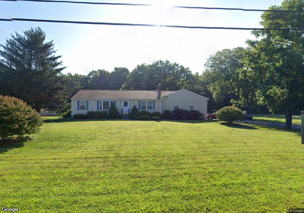
130 West St West Hatfield, MA 01088
Estimated Value: $392,000 - $504,000
3
Beds
1
Bath
1,778
Sq Ft
$260/Sq Ft
Est. Value
About This Home
This home is located at 130 West St, West Hatfield, MA 01088 and is currently estimated at $462,167, approximately $259 per square foot. 130 West St is a home located in Hampshire County with nearby schools including Hatfield Elementary School, Smith Academy, and The Montessori School of Northampton.
Ownership History
Date
Name
Owned For
Owner Type
Purchase Details
Closed on
Jul 22, 2003
Sold by
Korza Joan G and Korza Richard R
Bought by
Banner Christopher J and Banner Nancy A
Current Estimated Value
Home Financials for this Owner
Home Financials are based on the most recent Mortgage that was taken out on this home.
Original Mortgage
$154,500
Interest Rate
5.34%
Mortgage Type
Purchase Money Mortgage
Create a Home Valuation Report for This Property
The Home Valuation Report is an in-depth analysis detailing your home's value as well as a comparison with similar homes in the area
Home Values in the Area
Average Home Value in this Area
Purchase History
| Date | Buyer | Sale Price | Title Company |
|---|---|---|---|
| Banner Christopher J | $62,000 | -- |
Source: Public Records
Mortgage History
| Date | Status | Borrower | Loan Amount |
|---|---|---|---|
| Open | Banner Christopher J | $204,000 | |
| Closed | Banner Christopher J | $154,500 |
Source: Public Records
Tax History Compared to Growth
Tax History
| Year | Tax Paid | Tax Assessment Tax Assessment Total Assessment is a certain percentage of the fair market value that is determined by local assessors to be the total taxable value of land and additions on the property. | Land | Improvement |
|---|---|---|---|---|
| 2025 | $5,504 | $397,700 | $122,400 | $275,300 |
| 2024 | $5,591 | $365,200 | $104,300 | $260,900 |
| 2023 | $4,671 | $346,500 | $99,800 | $246,700 |
| 2022 | $4,332 | $316,900 | $88,600 | $228,300 |
| 2021 | $4,135 | $291,400 | $79,600 | $211,800 |
| 2020 | $3,943 | $291,400 | $79,600 | $211,800 |
| 2019 | $3,702 | $266,500 | $68,300 | $198,200 |
| 2018 | $3,586 | $264,100 | $68,300 | $195,800 |
| 2017 | $3,506 | $265,200 | $68,300 | $196,900 |
| 2016 | $3,464 | $262,800 | $68,300 | $194,500 |
| 2015 | $3,465 | $263,100 | $63,800 | $199,300 |
| 2014 | $3,295 | $260,100 | $59,300 | $200,800 |
Source: Public Records
Map
Nearby Homes
- 121 West St
- 139 West St Unit 7
- 0 Pantry Rd Unit 73430264
- 84 Chestnut St
- 71 Chestnut St
- 2B Linseed Rd
- 166 Rocks Rd
- 0 Straits Rd
- Lot1 N Hatfield Rd
- Lot2 N Hatfield Rd
- 147 Pantry Rd
- 151 Pantry Rd
- 12 Dwight St
- 320 West St
- 144 Pantry Rd
- 18 Elm St
- 106 Elm St
- 43 Laurel Park Unit 43
- 155 Elm St
- 0 Old Stage Rd Unit 73394977
- 134 West St
- 140 West St
- 129 West St
- 122 West St
- 144 West St
- 148 West St
- 141 West St Unit 16
- 112 West St
- 139 West St Unit 11
- 139 West St Unit 4
- 139 West St Unit 17
- 139 West St Unit 14
- 139 West St Unit 16
- 139 West St Unit 13
- 139 West St Unit 1
- 139 West St Unit 2
- 139 West St Unit 12
- 139 West St
- 139 West St Unit 8
- 117 West St