130 Whetstone Vista Dr Crested Butte, CO 81224
Estimated Value: $5,140,000 - $7,637,000
5
Beds
10
Baths
4,335
Sq Ft
$1,346/Sq Ft
Est. Value
About This Home
This home is located at 130 Whetstone Vista Dr, Crested Butte, CO 81224 and is currently estimated at $5,833,651, approximately $1,345 per square foot. 130 Whetstone Vista Dr is a home with nearby schools including Gunnison Elementary School, Crested Butte Community School, and Gunnison Middle School.
Ownership History
Date
Name
Owned For
Owner Type
Purchase Details
Closed on
Aug 29, 2014
Sold by
Hassebroek Jerry Cox and Hassebroek Pamela B
Bought by
Cb Whetstone Llc
Current Estimated Value
Purchase Details
Closed on
Jan 2, 2001
Sold by
Crested Butte Global Investements Llc
Bought by
Hassebroek Jerry Cox
Purchase Details
Closed on
Dec 19, 2000
Sold by
Whetstone Vista Llc A Colo Ltd Liab Co
Bought by
Crested Butte Global Investments Llc
Create a Home Valuation Report for This Property
The Home Valuation Report is an in-depth analysis detailing your home's value as well as a comparison with similar homes in the area
Home Values in the Area
Average Home Value in this Area
Purchase History
| Date | Buyer | Sale Price | Title Company |
|---|---|---|---|
| Cb Whetstone Llc | $2,425,000 | Stewart Title | |
| Hassebroek Jerry Cox | $300,000 | -- | |
| Crested Butte Global Investments Llc | -- | -- |
Source: Public Records
Tax History Compared to Growth
Tax History
| Year | Tax Paid | Tax Assessment Tax Assessment Total Assessment is a certain percentage of the fair market value that is determined by local assessors to be the total taxable value of land and additions on the property. | Land | Improvement |
|---|---|---|---|---|
| 2024 | $19,895 | $326,160 | $38,100 | $288,060 |
| 2023 | $19,895 | $322,470 | $37,670 | $284,800 |
| 2022 | $16,037 | $229,560 | $24,330 | $205,230 |
| 2021 | $14,280 | $236,170 | $25,030 | $211,140 |
| 2020 | $16,129 | $269,620 | $23,490 | $246,130 |
| 2019 | $15,815 | $269,620 | $23,490 | $246,130 |
| 2018 | $11,802 | $192,650 | $20,160 | $172,490 |
| 2017 | $11,916 | $192,650 | $20,160 | $172,490 |
| 2016 | $15,181 | $272,860 | $22,530 | $250,330 |
| 2015 | -- | $272,860 | $22,530 | $250,330 |
| 2014 | -- | $242,250 | $18,020 | $224,230 |
Source: Public Records
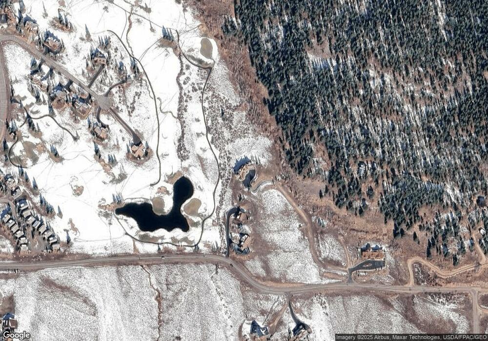
Map
Nearby Homes
- 315 Par Ln
- 77 S Avion Dr
- 262 Larkspur Loop
- 365 Larkspur Loop
- 44 County Road 738a Brush Creek Rd
- 136 N Avion Dr
- 412 Ridge Rd
- 115 Larkspur Loop
- 163 N Avion Dr
- 360 Wapiti Ln
- 42 Lexie Ct
- 350 Country Club Dr Unit 217A
- 350 Country Club Dr Unit 218A
- 350 Country Club Dr Unit 402A
- 214 Elk Valley Rd
- 204 N Avion Dr
- 402 Eagle Ln
- 42 Earhart Ln
- 166 & 168 Coyote Cir
- 49 White Stallion Cir
- 0 Whetstone Vista Dr Unit 742805
- 0 Whetstone Vista Dr Unit 3709
- 0 Whetstone Vista Dr Unit 4743
- 0 Whetstone Vista Dr Unit Lot 1 Whetstone Vist
- 989 County Road 738
- 991 County Road 738
- 110 Whetstone Vista Dr
- 492 Par Ln
- 1097 County Road 738
- 457 Par Ln
- 33 Quartz Cir
- 424 Par Ln
- 416 Par Ln
- 66 Whetstone Vista Dr
- 0 Bifano Rd Unit 767283
- 0 Bifano Rd Unit 765551
- 0 Bifano Rd Unit 764694
- 0 Bifano Rd Unit 753115
- 0 Bifano Rd Unit 752386
- 0 Bifano Rd Unit 751020