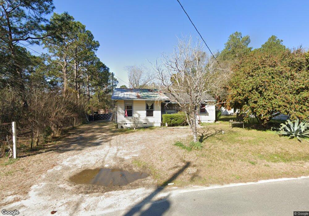
130 Wp Lowery Rd Eastman, GA 31023
Estimated Value: $75,688 - $115,000
--
Bed
--
Bath
1,171
Sq Ft
$87/Sq Ft
Est. Value
About This Home
This home is located at 130 Wp Lowery Rd, Eastman, GA 31023 and is currently estimated at $102,172, approximately $87 per square foot. 130 Wp Lowery Rd is a home with nearby schools including Dodge County High School.
Ownership History
Date
Name
Owned For
Owner Type
Purchase Details
Closed on
Mar 7, 2022
Sold by
Whatley Anna
Bought by
Miklyn Limited Co
Current Estimated Value
Purchase Details
Closed on
Dec 11, 2017
Sold by
Hickman Bobby
Bought by
Whatley Anna
Purchase Details
Closed on
Feb 8, 2016
Sold by
Whatley Anna C
Bought by
Hickman Bobby and Hickman Wanda
Purchase Details
Closed on
Jan 7, 2004
Sold by
Hickman Bobby and Hickman Wanda
Bought by
Whatley Anna
Purchase Details
Closed on
Sep 29, 2000
Sold by
Hickman Bobby and Hickman Wa
Bought by
Waycross Properties Inc
Purchase Details
Closed on
May 22, 1995
Bought by
Hickman Bobby and Hickman Wa
Purchase Details
Closed on
Dec 21, 1994
Bought by
Bank Of Dodge County
Create a Home Valuation Report for This Property
The Home Valuation Report is an in-depth analysis detailing your home's value as well as a comparison with similar homes in the area
Home Values in the Area
Average Home Value in this Area
Purchase History
| Date | Buyer | Sale Price | Title Company |
|---|---|---|---|
| Miklyn Limited Co | -- | -- | |
| Whatley Anna | -- | -- | |
| Hickman Bobby | -- | -- | |
| Whatley Anna | $83,000 | -- | |
| Waycross Properties Inc | $275,000 | -- | |
| Hickman Bobby | $19,500 | -- | |
| Bank Of Dodge County | $25,000 | -- |
Source: Public Records
Tax History Compared to Growth
Tax History
| Year | Tax Paid | Tax Assessment Tax Assessment Total Assessment is a certain percentage of the fair market value that is determined by local assessors to be the total taxable value of land and additions on the property. | Land | Improvement |
|---|---|---|---|---|
| 2024 | $566 | $21,777 | $1,400 | $20,377 |
| 2023 | $566 | $21,777 | $1,400 | $20,377 |
| 2022 | $528 | $20,521 | $1,400 | $19,121 |
| 2021 | $518 | $20,045 | $1,400 | $18,645 |
| 2020 | $526 | $20,045 | $1,400 | $18,645 |
| 2019 | $471 | $17,745 | $1,400 | $16,345 |
| 2018 | $453 | $17,745 | $1,400 | $16,345 |
| 2017 | $453 | $17,745 | $1,400 | $16,345 |
| 2016 | $494 | $19,332 | $1,400 | $17,932 |
| 2015 | -- | $19,332 | $1,400 | $17,932 |
| 2014 | -- | $19,332 | $1,400 | $17,932 |
| 2013 | -- | $19,332 | $1,400 | $17,932 |
Source: Public Records
Map
Nearby Homes
- 6515 Fred Bohannon Rd
- 0 Shady Oaks Rd Unit 10400925
- 0 Shady Oaks Rd Unit 246471
- 534 Soperton Hwy
- 0 Windy Way
- 0 Forest Ave Unit 10588959
- 5533 Russell Ave
- 5616 Beulah Ave
- 5811 5th Ave
- 0 Williams Dr Unit 10632909
- 5422 1st Ave
- 220 Page St
- 0 Jim Pruett Rd Unit 25211863
- 0 Jim Pruett Rd Unit 10540625
- 5859 8th Ave
- 5218 4th Ave
- 619 Cooper Ave
- 1348 Minter Ridge
- 139 Magnolia St
- 0 7th Ave Unit 10632904
- 122 W P Lowery Rd
- 123 Wp Lowery Rd
- 108 Wp Lowery Rd
- 127 King Rd
- 143 Lowery Rd
- 150 W P Lowery Rd
- 150 Wp Lowery Rd
- 6451 Fred Bohannon Rd
- W W P Lowery Rd
- 102 Wp Lowery Rd
- 102 Wp Lowery Rd
- 159 W P Lowery Rd
- 97 King Rd
- 120 King Rd
- 93 Wp Lowery Rd
- 168 Wp Lowery Rd
- 163 King Rd
- 168 W P Lowery Rd
- 77 King Rd
- 78 Wp Lowery Rd