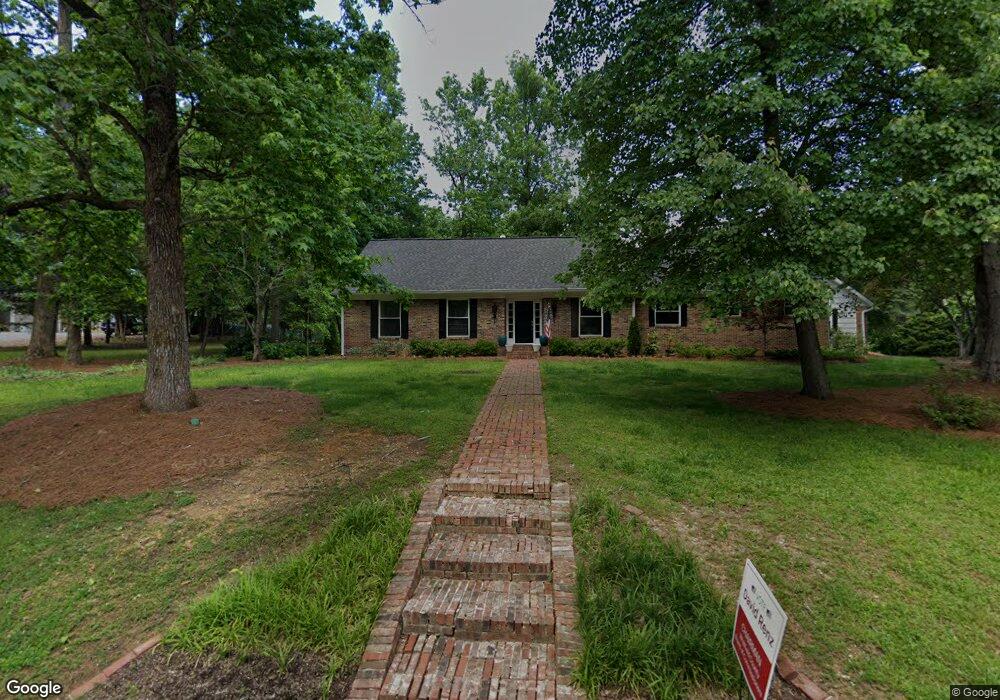
1300 Azalea Dr Dalton, GA 30720
Estimated Value: $471,314 - $531,000
Studio
3
Baths
2,816
Sq Ft
$177/Sq Ft
Est. Value
About This Home
This home is located at 1300 Azalea Dr, Dalton, GA 30720 and is currently estimated at $499,579, approximately $177 per square foot. 1300 Azalea Dr is a home located in Whitfield County with nearby schools including City Park Elementary School, Dalton High School, and Rock Hill School.
Ownership History
Date
Name
Owned For
Owner Type
Purchase Details
Closed on
Oct 28, 2022
Sold by
Payne F Darren
Bought by
Total Development Group Llc
Current Estimated Value
Purchase Details
Closed on
Mar 31, 2021
Sold by
Dyer Sandra Diane and Dyer Daniel Sherman
Bought by
Payne F Darren
Purchase Details
Closed on
Sep 27, 2019
Sold by
Stoner Phillip G
Bought by
Payne F Darren
Purchase Details
Closed on
Nov 1, 1990
Bought by
Stoner Phillip G
Create a Home Valuation Report for This Property
The Home Valuation Report is an in-depth analysis detailing your home's value as well as a comparison with similar homes in the area
Purchase History
| Date | Buyer | Sale Price | Title Company |
|---|---|---|---|
| Total Development Group Llc | -- | None Listed On Document | |
| Total Development Group Llc | -- | None Listed On Document | |
| Total Development Group Llc | -- | None Listed On Document | |
| Total Development Group Llc | -- | None Listed On Document | |
| Total Development Group Llc | -- | None Listed On Document | |
| Total Development Group Llc | -- | None Listed On Document | |
| Total Development Group Llc | -- | -- | |
| Total Development Group Llc | -- | -- | |
| Payne F Darren | -- | None Listed On Document | |
| Payne F Darren | $285,000 | -- | |
| Stoner Phillip G | $163,000 | -- |
Source: Public Records
Tax History
| Year | Tax Paid | Tax Assessment Tax Assessment Total Assessment is a certain percentage of the fair market value that is determined by local assessors to be the total taxable value of land and additions on the property. | Land | Improvement |
|---|---|---|---|---|
| 2025 | $4,682 | $170,681 | $29,000 | $141,681 |
| 2024 | $4,682 | $170,681 | $29,000 | $141,681 |
| 2023 | $4,452 | $114,536 | $14,396 | $100,140 |
| 2022 | $2,742 | $87,011 | $11,800 | $75,211 |
| 2021 | $2,746 | $87,011 | $11,800 | $75,211 |
| 2020 | $2,841 | $87,011 | $11,800 | $75,211 |
| 2019 | $2,926 | $87,011 | $11,800 | $75,211 |
| 2018 | $2,633 | $78,185 | $11,800 | $66,385 |
| 2017 | $2,528 | $78,185 | $11,800 | $66,385 |
| 2016 | $2,460 | $75,918 | $15,540 | $60,378 |
| 2014 | $2,277 | $75,918 | $15,540 | $60,378 |
| 2013 | -- | $75,918 | $15,540 | $60,378 |
Source: Public Records
Map
Nearby Homes
- 503 Loveman Ln
- 914 W Walnut Ave
- 451 Castle Rd
- 1123 Ridgeleigh Cir
- 432 Castle Rd
- 1104 W Crawford St
- 1117 Lakemont Dr
- 0 Lakemont Dr Unit 10664970
- 0 Lakemont Dr Unit 1524585
- 0 Lakemont Dr Unit 131479
- 903 Hillcrest St
- 402 Fairview Dr
- 809 W Crawford St
- 703 W Walnut Ave
- 704 W Walnut Ave
- 924 Stoneleigh Rd
- 203 Auburn Dr
Your Personal Tour Guide
Ask me questions while you tour the home.