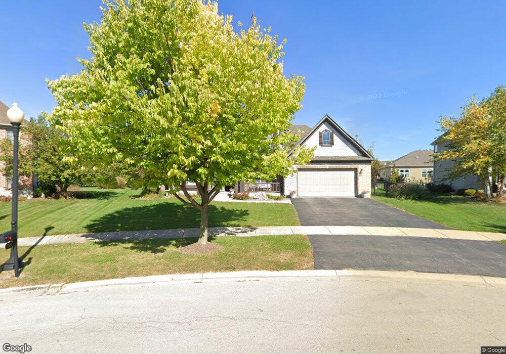
1300 Dodson Ave Unit 12 Elburn, IL 60119
Estimated Value: $523,659 - $617,000
4
Beds
4
Baths
2,678
Sq Ft
$211/Sq Ft
Est. Value
About This Home
This home is located at 1300 Dodson Ave Unit 12, Elburn, IL 60119 and is currently estimated at $565,915, approximately $211 per square foot. 1300 Dodson Ave Unit 12 is a home located in Kane County with nearby schools including Kaneland Blackberry Creek Elementary School, Harter Middle School, and Kaneland High School.
Ownership History
Date
Name
Owned For
Owner Type
Purchase Details
Closed on
Mar 19, 2015
Sold by
Hanson William M and Hanson Dorothy
Bought by
Hanson William N and William N Hanson Declaration Of Trust
Current Estimated Value
Purchase Details
Closed on
Mar 4, 2011
Sold by
Lew Robert M and Turczak Laura J
Bought by
Hanson Dorothy
Purchase Details
Closed on
Aug 9, 2007
Sold by
Abigail Homes Inc
Bought by
Lew Robert M and Turczak Laura J
Home Financials for this Owner
Home Financials are based on the most recent Mortgage that was taken out on this home.
Original Mortgage
$391,250
Interest Rate
6.69%
Mortgage Type
Purchase Money Mortgage
Create a Home Valuation Report for This Property
The Home Valuation Report is an in-depth analysis detailing your home's value as well as a comparison with similar homes in the area
Home Values in the Area
Average Home Value in this Area
Purchase History
| Date | Buyer | Sale Price | Title Company |
|---|---|---|---|
| Hanson William N | -- | None Available | |
| Hanson Dorothy | $277,000 | Attorneys Title Guaranty Fun | |
| Lew Robert M | $489,500 | Chicago Title Insurance Co |
Source: Public Records
Mortgage History
| Date | Status | Borrower | Loan Amount |
|---|---|---|---|
| Previous Owner | Lew Robert M | $391,250 |
Source: Public Records
Tax History
| Year | Tax Paid | Tax Assessment Tax Assessment Total Assessment is a certain percentage of the fair market value that is determined by local assessors to be the total taxable value of land and additions on the property. | Land | Improvement |
|---|---|---|---|---|
| 2024 | $12,494 | $145,547 | $17,164 | $128,383 |
| 2023 | $12,119 | $131,360 | $15,491 | $115,869 |
| 2022 | $12,568 | $132,131 | $14,217 | $117,914 |
| 2021 | $12,139 | $126,465 | $13,607 | $112,858 |
| 2020 | $11,934 | $123,501 | $13,288 | $110,213 |
| 2019 | $11,952 | $121,688 | $13,093 | $108,595 |
| 2018 | $11,852 | $118,330 | $13,093 | $105,237 |
| 2017 | $11,863 | $116,985 | $12,944 | $104,041 |
| 2016 | $11,882 | $113,933 | $12,602 | $101,331 |
| 2015 | -- | $105,531 | $8,711 | $96,820 |
| 2014 | -- | $106,519 | $11,167 | $95,352 |
| 2013 | -- | $111,519 | $11,167 | $100,352 |
Source: Public Records
Map
Nearby Homes
- 1383 Dodson Ave
- 1171 Souders Ave
- 765 Carolyn Ct
- 801 Citizen Ave
- 1038 Veteran Ave
- 1076 Freedom Rd
- 1074 Freedom Rd
- 1123 Sears Cir
- 980 Sears Cir
- 1106 Kendall St Unit 6
- 815 Kindberg Ct
- 16 Derek Dr
- 713 Elizabeth St
- 671 Virginia St
- 645 Virginia St
- 607 Virginia St
- Lot #11 Derek Dr
- Lot #12 Derek Dr
- Lot #5 Derek Dr
- Lot #6 Derek Dr
- 1320 Dodson Ave
- 1290 Dodson Ave
- 1311 Beed Ave
- 1313 Dodson Ave
- 1303 Dodson Ave
- 1274 Independence Ave
- 1340 Dodson Ave
- 1281 Beed Ave
- 1335 Beed Ave
- 1312 Independence Ave
- 1295 Beed Ave
- 1335 Dodson Ave
- 1262 Independence Ave
- 1357 Beed Ave
- 1523 Settler St
- 1555 Settler St
- 945 Settler St
- 1351 Dodson Ave
- 1275 Beed Ave
- 1334 Independence Ave
Your Personal Tour Guide
Ask me questions while you tour the home.