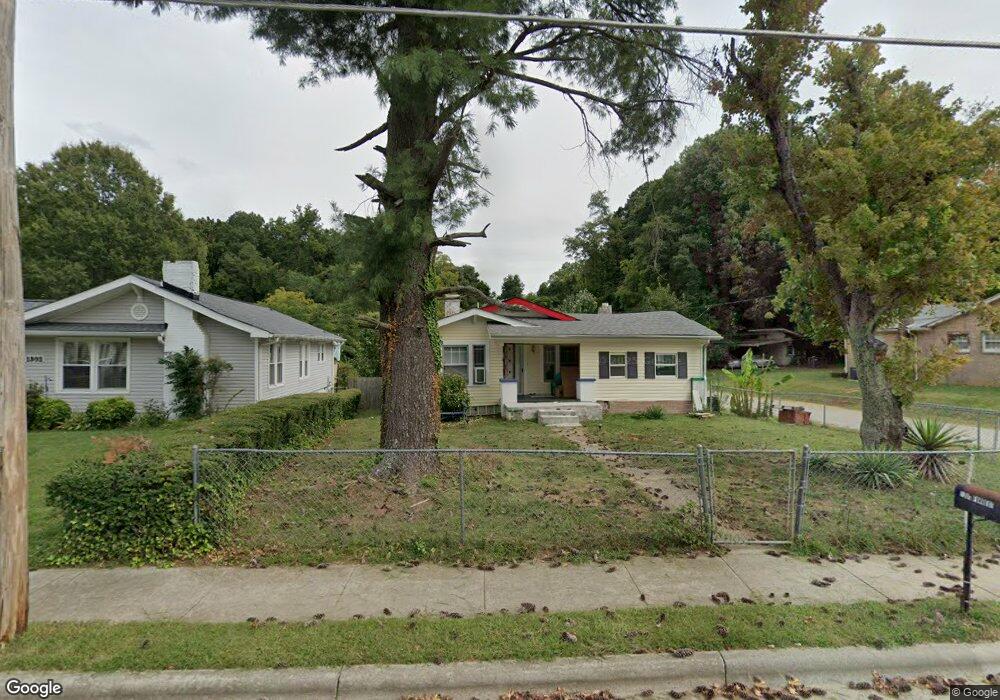
1300 Forrest St High Point, NC 27262
Greater High Point NeighborhoodEstimated Value: $124,000 - $181,000
3
Beds
1
Bath
1,244
Sq Ft
$120/Sq Ft
Est. Value
About This Home
This home is located at 1300 Forrest St, High Point, NC 27262 and is currently estimated at $149,073, approximately $119 per square foot. 1300 Forrest St is a home located in Guilford County with nearby schools including Oak View Elementary School, Welborn Academy of Science & Technology, and High Point Central High School.
Ownership History
Date
Name
Owned For
Owner Type
Purchase Details
Closed on
Feb 7, 2020
Sold by
Sinouanthavysouk Phouangboupha and Sinouanthavysouk Duangpy
Bought by
Ratsamy Vat and Sirisouk Bouakham
Current Estimated Value
Purchase Details
Closed on
Jun 2, 2016
Sold by
Sinouanthavysouk Duangpy and Sinouanthavysouk Phouangboupha
Bought by
Sinouanthavysouk Phouangboupha
Purchase Details
Closed on
Sep 19, 2010
Sold by
Swaim Ernest Melvin and Swaim Molly Jean
Bought by
Secretary Of Veterans Affairs
Purchase Details
Closed on
Dec 31, 2009
Bought by
Empire Acceptance Company Inc
Purchase Details
Closed on
Aug 18, 1992
Bought by
Swaim Ernest Melvin
Create a Home Valuation Report for This Property
The Home Valuation Report is an in-depth analysis detailing your home's value as well as a comparison with similar homes in the area
Home Values in the Area
Average Home Value in this Area
Purchase History
| Date | Buyer | Sale Price | Title Company |
|---|---|---|---|
| Ratsamy Vat | $34,500 | None Available | |
| Sinouanthavysouk Phouangboupha | -- | None Available | |
| Secretary Of Veterans Affairs | $19,829 | None Available | |
| Empire Acceptance Company Inc | $9,000 | -- | |
| Swaim Ernest Melvin | $59,500 | -- |
Source: Public Records
Tax History Compared to Growth
Tax History
| Year | Tax Paid | Tax Assessment Tax Assessment Total Assessment is a certain percentage of the fair market value that is determined by local assessors to be the total taxable value of land and additions on the property. | Land | Improvement |
|---|---|---|---|---|
| 2025 | $1,264 | $91,700 | $10,000 | $81,700 |
| 2024 | $1,264 | $91,700 | $10,000 | $81,700 |
| 2023 | $1,264 | $91,700 | $10,000 | $81,700 |
| 2022 | $1,236 | $91,700 | $10,000 | $81,700 |
| 2021 | $904 | $65,600 | $10,000 | $55,600 |
| 2020 | $904 | $65,600 | $10,000 | $55,600 |
| 2019 | $904 | $65,600 | $0 | $0 |
| 2018 | $899 | $65,600 | $0 | $0 |
| 2017 | $899 | $65,600 | $0 | $0 |
| 2016 | $902 | $64,300 | $0 | $0 |
| 2015 | $907 | $64,300 | $0 | $0 |
| 2014 | $922 | $64,300 | $0 | $0 |
Source: Public Records
Map
Nearby Homes
- 1110 Forrest St
- 1108 Forrest St
- 910 Charlotte Ave
- 907 E Dayton Ave
- 910 E Dayton Ave
- 1406 Bridges Dr
- 1428 Futrelle Dr
- 1607 Bridges Dr
- 1714 N Hamilton St Unit A
- 1714 N Hamilton St Unit B
- 721 Forrest St
- 719 Forrest St
- 1704 N Hamilton St Unit D
- 435 Chester Woods Ct
- 1507 Larkin St
- 1740 N Hamilton St Unit G
- 1433 Larkin St
- 509 Woodrow Ave
- 1825 Johnson St Unit B
- 1519 Mcguinn Dr
- 1302 Forrest St
- 1210 Forrest St
- 1208 Forrest St
- 1304 Forrest St
- 1007 Shepard Place
- 1206 Forrest St
- 1301 Forrest St
- 1306 Forrest St
- 1009 Shepard Place
- 1303 Forrest St
- 1205 Forrest St
- 1204 Forrest St
- 1305 Forrest St
- 1308 Forrest St
- 915 Charlotte Ave
- 1307 Forrest St
- 1202 Forrest St
- 1203 Forrest St
- 909 Charlotte Ave
- 1310 Forrest St