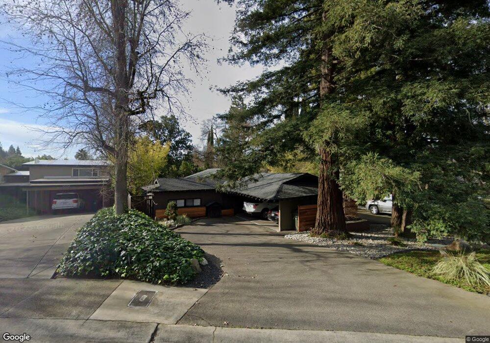
1300 Grant Ln Sacramento, CA 95822
South Land Park NeighborhoodEstimated Value: $560,000 - $924,000
4
Beds
3
Baths
2,909
Sq Ft
$277/Sq Ft
Est. Value
About This Home
This home is located at 1300 Grant Ln, Sacramento, CA 95822 and is currently estimated at $804,802, approximately $276 per square foot. 1300 Grant Ln is a home located in Sacramento County with nearby schools including Sutterville Elementary School, California Middle, and C. K. McClatchy High.
Ownership History
Date
Name
Owned For
Owner Type
Purchase Details
Closed on
Oct 30, 2020
Sold by
Filby Scott A and Filby Lindsay
Bought by
Filby Scott and Filby Lindsay
Current Estimated Value
Purchase Details
Closed on
Feb 26, 2003
Sold by
Filby Scott A and Filby Lindsay Hays
Bought by
Filby Scott A and Filby Lindsay
Home Financials for this Owner
Home Financials are based on the most recent Mortgage that was taken out on this home.
Original Mortgage
$197,000
Interest Rate
5.85%
Purchase Details
Closed on
Oct 14, 1998
Sold by
Greene John and Hickman Karrell
Bought by
Filby Scott A and Filby Lindsay Hays
Home Financials for this Owner
Home Financials are based on the most recent Mortgage that was taken out on this home.
Original Mortgage
$216,000
Interest Rate
6.79%
Purchase Details
Closed on
Jul 8, 1997
Sold by
James G & Barbara S Sandman Trust and James G
Bought by
Greene John and Hickman Karrell
Home Financials for this Owner
Home Financials are based on the most recent Mortgage that was taken out on this home.
Original Mortgage
$250,000
Interest Rate
7.87%
Create a Home Valuation Report for This Property
The Home Valuation Report is an in-depth analysis detailing your home's value as well as a comparison with similar homes in the area
Home Values in the Area
Average Home Value in this Area
Purchase History
| Date | Buyer | Sale Price | Title Company |
|---|---|---|---|
| Filby Scott | -- | None Available | |
| Filby Scott A | -- | Financial Title Company | |
| Filby Scott A | $270,000 | Stewart Title | |
| Greene John | $250,000 | Stewart Title |
Source: Public Records
Mortgage History
| Date | Status | Borrower | Loan Amount |
|---|---|---|---|
| Closed | Filby Scott A | $197,000 | |
| Closed | Filby Scott A | $216,000 | |
| Previous Owner | Greene John | $250,000 |
Source: Public Records
Tax History Compared to Growth
Tax History
| Year | Tax Paid | Tax Assessment Tax Assessment Total Assessment is a certain percentage of the fair market value that is determined by local assessors to be the total taxable value of land and additions on the property. | Land | Improvement |
|---|---|---|---|---|
| 2025 | $5,316 | $444,353 | $115,685 | $328,668 |
| 2024 | $5,316 | $435,641 | $113,417 | $322,224 |
| 2023 | $5,183 | $427,100 | $111,194 | $315,906 |
| 2022 | $5,109 | $418,726 | $109,014 | $309,712 |
| 2021 | $4,862 | $410,517 | $106,877 | $303,640 |
| 2020 | $4,896 | $406,309 | $105,782 | $300,527 |
| 2019 | $4,791 | $398,343 | $103,708 | $294,635 |
| 2018 | $4,666 | $390,533 | $101,675 | $288,858 |
| 2017 | $4,597 | $382,877 | $99,682 | $283,195 |
| 2016 | $4,359 | $375,371 | $97,728 | $277,643 |
| 2015 | $4,288 | $369,734 | $96,261 | $273,473 |
| 2014 | $4,176 | $362,493 | $94,376 | $268,117 |
Source: Public Records
Map
Nearby Homes
- 5200 Pleasant Dr
- 5440 Pleasant Dr
- 5453 Parish Ct
- 1220 Lucio Ln
- 1224 Nevis Ct
- 1428 Tradewinds Ave
- 1432 Oregon Dr
- 1433 32nd Ave
- 5779 Gloria Dr
- 1621 Fruitridge Rd
- 4500 Crestwood Way
- 1122 28th Ave
- 4801 da Rosa Dr
- 5081 Karbet Way
- 1436 Sterling St
- 1810 Opper Ave
- 5716 Lonsdale Dr
- 5880 Gloria Dr
- 5875 Gloria Dr Unit 4
- 5531 Michael Way
- 5321 Pleasant Dr
- 1310 Grant Ln
- 5401 Pleasant Dr
- 1320 Grant Ln
- 1301 Lucio Ln
- 1261 Lucio Ln
- 5311 Pleasant Dr
- 5310 Pleasant Dr
- 1305 Lucio Ln
- 1321 Grant Ln
- 5400 Pleasant Dr
- 1257 Lucio Ln
- 5411 Pleasant Dr
- 1309 Lucio Ln
- 1330 Grant Ln
- 1253 Lucio Ln
- 5410 Pleasant Dr
- 5421 Pleasant Dr
- 1331 Grant Ln
- 5300 Pleasant Dr