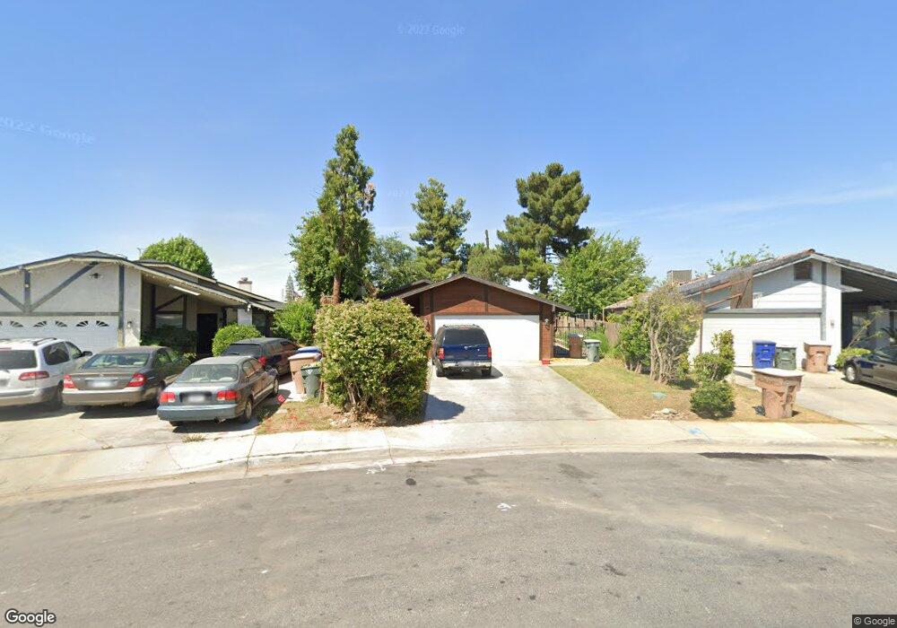
1300 Langston St Bakersfield, CA 93307
South Wible Orchard NeighborhoodEstimated Value: $294,662 - $323,000
3
Beds
2
Baths
1,234
Sq Ft
$251/Sq Ft
Est. Value
About This Home
This home is located at 1300 Langston St, Bakersfield, CA 93307 and is currently estimated at $309,416, approximately $250 per square foot. 1300 Langston St is a home located in Kern County with nearby schools including Raffaello Palla Elementary School, Greenfield Middle School, and South High School.
Ownership History
Date
Name
Owned For
Owner Type
Purchase Details
Closed on
Sep 9, 2012
Sold by
Abdalla Robert and Abdalla Joseline M
Bought by
Rjjr 1 Llc
Current Estimated Value
Purchase Details
Closed on
Sep 8, 2010
Sold by
Abdalla Robert and Abdalla Joseline M
Bought by
Abdalla Robert and Abdalla Joseline M
Purchase Details
Closed on
May 7, 2010
Sold by
Navy Federal Credit Union
Bought by
Abdalla Robert and Abdalla Joseline
Purchase Details
Closed on
Mar 15, 2010
Sold by
Silva Michael J and Silva Rosita
Bought by
Navy Federal Credit Union
Create a Home Valuation Report for This Property
The Home Valuation Report is an in-depth analysis detailing your home's value as well as a comparison with similar homes in the area
Home Values in the Area
Average Home Value in this Area
Purchase History
| Date | Buyer | Sale Price | Title Company |
|---|---|---|---|
| Rjjr 1 Llc | -- | None Available | |
| Abdalla Robert | -- | None Available | |
| Abdalla Robert | $81,500 | Fidelity National Title | |
| Navy Federal Credit Union | $83,183 | Accommodation |
Source: Public Records
Tax History Compared to Growth
Tax History
| Year | Tax Paid | Tax Assessment Tax Assessment Total Assessment is a certain percentage of the fair market value that is determined by local assessors to be the total taxable value of land and additions on the property. | Land | Improvement |
|---|---|---|---|---|
| 2025 | $1,916 | $105,187 | $25,809 | $79,378 |
| 2024 | $1,867 | $103,125 | $25,303 | $77,822 |
| 2023 | $1,867 | $101,104 | $24,807 | $76,297 |
| 2022 | $1,833 | $99,122 | $24,321 | $74,801 |
| 2021 | $1,726 | $97,180 | $23,845 | $73,335 |
| 2020 | $1,677 | $96,185 | $23,601 | $72,584 |
| 2019 | $1,650 | $96,185 | $23,601 | $72,584 |
| 2018 | $1,589 | $92,452 | $22,686 | $69,766 |
| 2017 | $1,570 | $90,641 | $22,242 | $68,399 |
| 2016 | $1,495 | $88,864 | $21,806 | $67,058 |
| 2015 | $1,474 | $87,530 | $21,479 | $66,051 |
| 2014 | $1,449 | $85,817 | $21,059 | $64,758 |
Source: Public Records
Map
Nearby Homes
- 1328 Malerbi Ct
- 5320 Jonah St
- 4908 Jonah St
- 5404 Oneill Ct
- 5408 Oneill Ct
- 1304 Canyon Ct
- 1009 Caroline Ct
- 1012 Caroline Ct
- 1516 Canyon Ct
- 5712 Midas St
- 5712 Osborne St
- 5716 Osborne St
- 5708 Osborne St
- 1501 Calcutta Dr Unit 34
- 1501 Calcutta Dr Unit 48
- 4508 Axminster St
- 5712 Monitor St
- 1708 Chastain Way
- 601 Pacheco Rd Unit 37
- 2200 Butterfield Ave