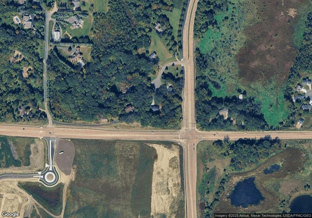
1300 Oakside Cir Unit 112 Chanhassen, MN 55317
Estimated Value: $891,000 - $1,041,000
4
Beds
4
Baths
2,868
Sq Ft
$333/Sq Ft
Est. Value
About This Home
This home is located at 1300 Oakside Cir Unit 112, Chanhassen, MN 55317 and is currently estimated at $954,798, approximately $332 per square foot. 1300 Oakside Cir Unit 112 is a home located in Carver County with nearby schools including Chanhassen Elementary School, Pioneer Ridge Middle School, and Chanhassen High School.
Ownership History
Date
Name
Owned For
Owner Type
Purchase Details
Closed on
Apr 15, 2021
Sold by
Schenk Christian L and Schenk Danielle D
Bought by
Svoboda James and Svoboda Amy
Current Estimated Value
Home Financials for this Owner
Home Financials are based on the most recent Mortgage that was taken out on this home.
Original Mortgage
$548,250
Outstanding Balance
$495,794
Interest Rate
3.1%
Mortgage Type
New Conventional
Estimated Equity
$459,004
Purchase Details
Closed on
Oct 16, 2015
Sold by
Johnson Robert J and Johnson Francine H
Bought by
Schenk Christian L and Schenk Danielle D
Home Financials for this Owner
Home Financials are based on the most recent Mortgage that was taken out on this home.
Original Mortgage
$408,000
Interest Rate
3.78%
Mortgage Type
New Conventional
Purchase Details
Closed on
Apr 5, 1999
Sold by
Buesgens Kevin A and Buesgens Cathy M
Bought by
Buesgens Keith M and Buesgens Mary Pat
Create a Home Valuation Report for This Property
The Home Valuation Report is an in-depth analysis detailing your home's value as well as a comparison with similar homes in the area
Home Values in the Area
Average Home Value in this Area
Purchase History
| Date | Buyer | Sale Price | Title Company |
|---|---|---|---|
| Svoboda James | $820,000 | Burnet Title | |
| Schenk Christian L | $510,000 | Burnet Title | |
| Buesgens Keith M | $209,809 | -- |
Source: Public Records
Mortgage History
| Date | Status | Borrower | Loan Amount |
|---|---|---|---|
| Open | Svoboda James | $548,250 | |
| Previous Owner | Schenk Christian L | $408,000 |
Source: Public Records
Tax History Compared to Growth
Tax History
| Year | Tax Paid | Tax Assessment Tax Assessment Total Assessment is a certain percentage of the fair market value that is determined by local assessors to be the total taxable value of land and additions on the property. | Land | Improvement |
|---|---|---|---|---|
| 2025 | $9,690 | $865,400 | $210,000 | $655,400 |
| 2024 | $9,622 | $862,400 | $200,000 | $662,400 |
| 2023 | $9,188 | $862,400 | $200,000 | $662,400 |
| 2022 | $9,188 | $835,600 | $162,000 | $673,600 |
| 2021 | $7,616 | $634,500 | $132,100 | $502,400 |
| 2020 | $8,044 | $655,100 | $132,100 | $523,000 |
| 2019 | $7,306 | $583,200 | $125,900 | $457,300 |
| 2018 | $6,726 | $583,200 | $125,900 | $457,300 |
| 2017 | $5,944 | $530,400 | $0 | $0 |
| 2016 | $6,492 | $474,600 | $0 | $0 |
| 2015 | $6,282 | $465,600 | $0 | $0 |
| 2014 | $6,282 | $427,300 | $0 | $0 |
Source: Public Records
Map
Nearby Homes
- 8800 Sunset Trail
- 9044 Mills Dr
- 9085 Mills Dr
- 9155 Mills Dr
- 1500 Avienda Pkwy
- 1510 Avienda Pkwy
- 9335 Eagle Ridge Rd
- 8410 Burlwood Dr
- 763 Stonegate Rd
- 732 Wildflower Ln
- 1250 Lake Susan Hills Dr
- 742 Maggie Way
- 8973 SW Village Loop
- 1525 Hemlock Way
- TBD County Road 101
- 8933 SW Village Loop
- 1321 Lake Dr W Unit 216
- 1321 Lake Dr W Unit 109
- 9399 Eagle Ridge Rd
- 600 Lyman Blvd
- 1300 Oakside Cir
- 1330 Lyman Blvd
- 1340 Oakside Cir
- 1360 Oakside Cir
- 1200 Lyman Blvd
- 1380 Oakside Cir
- 1190 Lyman Blvd
- 8955 Sunset Trail
- 1551 Lyman Blvd
- 8821 Sunset Trail
- 8800 Powers Blvd
- 8950 Sunset Trail
- 8900 Sunset Trail
- 8805 Sunset Trail
- 1111 Lyman Ct
- 8726 Flamingo Dr
- 8730 Flamingo Dr
- 1100 Lyman Ct
- 8736 Flamingo Dr
- 8850 Sunset Trail
