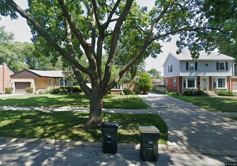
1301 Brophy Ave Park Ridge, IL 60068
O'Hare NeighborhoodEstimated Value: $454,605 - $562,000
2
Beds
1
Bath
1,243
Sq Ft
$412/Sq Ft
Est. Value
About This Home
This home is located at 1301 Brophy Ave, Park Ridge, IL 60068 and is currently estimated at $511,651, approximately $411 per square foot. 1301 Brophy Ave is a home located in Cook County with nearby schools including Theodore Roosevelt Elementary School, Lincoln Middle School, and Maine South High School.
Ownership History
Date
Name
Owned For
Owner Type
Purchase Details
Closed on
Jun 19, 2015
Sold by
Atkins Joanna A
Bought by
Adamczyk Martin
Current Estimated Value
Home Financials for this Owner
Home Financials are based on the most recent Mortgage that was taken out on this home.
Original Mortgage
$91,000
Interest Rate
4.25%
Mortgage Type
New Conventional
Purchase Details
Closed on
Sep 22, 2009
Sold by
Laskowski Maria
Bought by
Laskowski Maria A and Maria A Laskowski Living Trust
Purchase Details
Closed on
Jul 7, 1993
Sold by
Laskowski Wladyslaw and Laskowski Maria
Bought by
Laskowski Maria
Home Financials for this Owner
Home Financials are based on the most recent Mortgage that was taken out on this home.
Original Mortgage
$80,000
Interest Rate
7.28%
Create a Home Valuation Report for This Property
The Home Valuation Report is an in-depth analysis detailing your home's value as well as a comparison with similar homes in the area
Home Values in the Area
Average Home Value in this Area
Purchase History
| Date | Buyer | Sale Price | Title Company |
|---|---|---|---|
| Adamczyk Martin | -- | Attorneys Title Guaranty Fun | |
| Laskowski Maria A | -- | None Available | |
| Laskowski Maria | -- | -- |
Source: Public Records
Mortgage History
| Date | Status | Borrower | Loan Amount |
|---|---|---|---|
| Previous Owner | Adamczyk Martin | $91,000 | |
| Previous Owner | Laskowski Maria | $80,000 |
Source: Public Records
Tax History Compared to Growth
Tax History
| Year | Tax Paid | Tax Assessment Tax Assessment Total Assessment is a certain percentage of the fair market value that is determined by local assessors to be the total taxable value of land and additions on the property. | Land | Improvement |
|---|---|---|---|---|
| 2024 | $8,882 | $33,000 | $9,310 | $23,690 |
| 2023 | $8,514 | $33,000 | $9,310 | $23,690 |
| 2022 | $8,514 | $33,000 | $9,310 | $23,690 |
| 2021 | $8,167 | $27,080 | $6,982 | $20,098 |
| 2020 | $7,893 | $27,080 | $6,982 | $20,098 |
| 2019 | $7,824 | $30,122 | $6,982 | $23,140 |
| 2018 | $6,489 | $22,866 | $5,818 | $17,048 |
| 2017 | $6,438 | $22,866 | $5,818 | $17,048 |
| 2016 | $6,197 | $22,866 | $5,818 | $17,048 |
| 2015 | $6,621 | $21,725 | $4,987 | $16,738 |
| 2014 | $5,024 | $21,725 | $4,987 | $16,738 |
| 2013 | $4,340 | $21,725 | $4,987 | $16,738 |
Source: Public Records
Map
Nearby Homes
- 901 S Cumberland Ave
- 1116 S Cumberland Ave
- 1220 Courtland Ave
- 1425 Brophy Ave
- 820 W Talcott Rd
- 1015 Arthur St
- 819 Albion Ave
- 1016 Arthur St
- 1014 S Chester Ave
- 919 S Chester Ave
- 1634 S Cumberland Ave
- 1705 S Prospect Ave
- 1401 Park Ridge Blvd
- 1632 S Vine Ave
- 1705 S Crescent Ave
- 1610 S Greenwood Ave
- 1805 Brophy Ave
- 425 W Talcott Rd
- 1716 S Vine Ave
- 1812 S Fairview Ave
- 1237 Brophy Ave
- 1305 Brophy Ave
- 1233 Brophy Ave
- 1309 Brophy Ave
- 1300 S Fairview Ave
- 1304 S Fairview Ave
- 1236 S Fairview Ave
- 1231 Brophy Ave
- 1313 Brophy Ave
- 1313 Brophy Ave
- 1308 S Fairview Ave
- 1232 S Fairview Ave
- 1312 S Fairview Ave
- 1225 Brophy Ave
- 1230 S Fairview Ave
- 1300 Brophy Ave
- 1236 Brophy Ave
- 1306 Brophy Ave
- 1232 Brophy Ave
- 1308 Brophy Ave