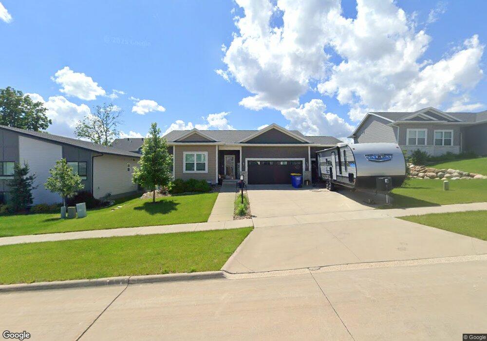
1301 Ironwood Ln Tiffin, IA 52340
Estimated Value: $439,759 - $566,000
5
Beds
3
Baths
1,311
Sq Ft
$367/Sq Ft
Est. Value
About This Home
This home is located at 1301 Ironwood Ln, Tiffin, IA 52340 and is currently estimated at $481,190, approximately $367 per square foot. 1301 Ironwood Ln is a home with nearby schools including Clear Creek Amana High School.
Ownership History
Date
Name
Owned For
Owner Type
Purchase Details
Closed on
Mar 3, 2020
Sold by
Cedarwood Homes Llc
Bought by
Hoefing Emily F and Hoefing Johnathan E
Current Estimated Value
Home Financials for this Owner
Home Financials are based on the most recent Mortgage that was taken out on this home.
Original Mortgage
$288,915
Outstanding Balance
$255,388
Interest Rate
3.4%
Mortgage Type
New Conventional
Estimated Equity
$225,802
Purchase Details
Closed on
Jan 11, 2019
Sold by
Advantage Development Inc
Bought by
Cedarwood Homes Llc
Home Financials for this Owner
Home Financials are based on the most recent Mortgage that was taken out on this home.
Original Mortgage
$271,764
Interest Rate
4.7%
Mortgage Type
Commercial
Create a Home Valuation Report for This Property
The Home Valuation Report is an in-depth analysis detailing your home's value as well as a comparison with similar homes in the area
Home Values in the Area
Average Home Value in this Area
Purchase History
| Date | Buyer | Sale Price | Title Company |
|---|---|---|---|
| Hoefing Emily F | $340,000 | None Available | |
| Cedarwood Homes Llc | $72,500 | None Available |
Source: Public Records
Mortgage History
| Date | Status | Borrower | Loan Amount |
|---|---|---|---|
| Open | Hoefing Emily F | $288,915 | |
| Previous Owner | Cedarwood Homes Llc | $271,764 |
Source: Public Records
Tax History Compared to Growth
Tax History
| Year | Tax Paid | Tax Assessment Tax Assessment Total Assessment is a certain percentage of the fair market value that is determined by local assessors to be the total taxable value of land and additions on the property. | Land | Improvement |
|---|---|---|---|---|
| 2024 | $6,404 | $373,000 | $74,400 | $298,600 |
| 2023 | $6,770 | $373,000 | $74,400 | $298,600 |
| 2022 | $6,696 | $337,100 | $74,400 | $262,700 |
| 2021 | $6,072 | $337,100 | $74,400 | $262,700 |
| 2020 | $6,072 | $292,400 | $74,400 | $218,000 |
| 2019 | $6 | $400 | $400 | $0 |
Source: Public Records
Map
Nearby Homes
- 1205 Croell Ave
- 630 Catherine Dr
- 628 Catherine Dr
- 624 Catherine Dr
- 641 Catherine Dr
- 1002 Croell Ave
- 203 Edelweiss Cir
- 639 Catherine Dr
- Lot 40 Park Place Part 8 Unit 604 Rock Ridge Rd
- Lot 55 Park Place Part 8 Unit 639 Rock Ridge Rd
- 1505 Green Oak Pass
- 652 Rock Ridge Rd
- 616 Rock Ridge Rd
- 612 Rock Ridge Rd
- 620 Rock Ridge Rd
- 624 Rock Ridge Rd
- 632 Rock Ridge Rd
- 636 Rock Ridge Rd
- 635 Rock Ridge Rd
- Lot 53 Park Place Part 8 Unit 647 Rock Ridge Rd
- 1205 Ironwood Ln
- 1303 Ironwood Ln
- 1203 Ironwood Ln
- 1302 Croell Ave
- 1204 Croell Ave
- 594 Prairie Dr
- 596 Prairie Dr
- 590 Prairie Dr
- 598 Prairie Dr
- 588 Prairie Dr
- 592 Prairie Dr
- 1201 Ironwood Ln
- 586 Prairie Dr
- 1202 Croell Ave
- 1861 Croell Ave
- 0 Croell Ave
- 605 Catherine Dr
- 601 Leslie Ln
- 607 Catherine Dr
- 600 Catherine Dr