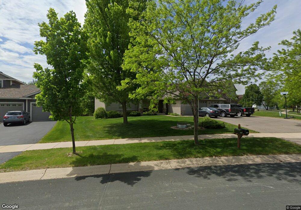
1301 Knight Ln Watertown, MN 55388
Estimated Value: $463,266 - $560,000
3
Beds
2
Baths
1,683
Sq Ft
$297/Sq Ft
Est. Value
About This Home
This home is located at 1301 Knight Ln, Watertown, MN 55388 and is currently estimated at $499,067, approximately $296 per square foot. 1301 Knight Ln is a home located in Carver County with nearby schools including Watertown-Mayer Elementary School, Watertown-Mayer Middle School, and Watertown Mayer High School.
Ownership History
Date
Name
Owned For
Owner Type
Purchase Details
Closed on
Mar 17, 2006
Sold by
Maetzold Homes Inc
Bought by
Maas David R and Maas Jodi L
Current Estimated Value
Home Financials for this Owner
Home Financials are based on the most recent Mortgage that was taken out on this home.
Original Mortgage
$180,000
Outstanding Balance
$102,986
Interest Rate
6.38%
Mortgage Type
New Conventional
Estimated Equity
$396,081
Purchase Details
Closed on
Dec 5, 2005
Sold by
Mj Watertown Development Llc
Bought by
Maetzold Homes Inc
Create a Home Valuation Report for This Property
The Home Valuation Report is an in-depth analysis detailing your home's value as well as a comparison with similar homes in the area
Home Values in the Area
Average Home Value in this Area
Purchase History
| Date | Buyer | Sale Price | Title Company |
|---|---|---|---|
| Maas David R | $404,454 | -- | |
| Maetzold Homes Inc | $125,900 | -- |
Source: Public Records
Mortgage History
| Date | Status | Borrower | Loan Amount |
|---|---|---|---|
| Open | Maas David R | $180,000 |
Source: Public Records
Tax History Compared to Growth
Tax History
| Year | Tax Paid | Tax Assessment Tax Assessment Total Assessment is a certain percentage of the fair market value that is determined by local assessors to be the total taxable value of land and additions on the property. | Land | Improvement |
|---|---|---|---|---|
| 2025 | $5,222 | $440,800 | $115,000 | $325,800 |
| 2024 | $5,142 | $422,600 | $105,000 | $317,600 |
| 2023 | $5,076 | $423,900 | $105,000 | $318,900 |
| 2022 | $4,918 | $426,200 | $105,200 | $321,000 |
| 2021 | $5,056 | $345,000 | $87,600 | $257,400 |
| 2020 | $5,096 | $345,000 | $87,600 | $257,400 |
| 2019 | $4,828 | $329,300 | $83,400 | $245,900 |
| 2018 | $4,784 | $329,300 | $83,400 | $245,900 |
| 2017 | $4,758 | $308,100 | $75,900 | $232,200 |
| 2016 | $4,780 | $294,200 | $0 | $0 |
| 2015 | $4,756 | $277,900 | $0 | $0 |
| 2014 | $4,756 | $263,600 | $0 | $0 |
Source: Public Records
Map
Nearby Homes
- 1290 Knight Ln
- 1221 Bishop Cir
- 1201 Bishop Cir
- 555 Industrial Blvd
- XXX Newton Ave SE
- 536 Industrial Blvd
- 575 Industrial Blvd
- 516 Industrial Blvd
- 865 Quail Ct
- 829 Reo Rd
- 593 Sienna Dr
- 578 Sienna Dr
- 600 Jefferson Ave SW
- 313 Angel Ave SW
- 408 Franklin Ave SW
- xxx Stevens St SW
- 605 Stevens St SW Unit 43
- 115 Riverside Terrace Dr Unit 115
- 604 White St SW Unit 35
- 604 White St SW
- 575 Raleigh Cir
- 1321 Knight Ln
- 549 Raleigh Cir
- 1341 Knight Ln
- 1281 Knight Ln
- 1310 Knight Ln
- 1350 Knight Ln
- 1361 Knight Ln
- xxx Knight Ln
- 1261 Knight Ln
- 1370 Knight Ln
- 1381 Knight Ln
- 530 Raleigh Cir
- 500 Raleigh Cir
- 1270 Knight Ln
- 510 Raleigh Cir
- 1241 Knight Ln
- 620 Quail Pkwy
- 1241 Bishop Cir
- 1250 Knight Ln