1301 N Parsons Ave Seffner, FL 33584
Estimated Value: $292,000 - $407,660
5
Beds
1
Bath
1,516
Sq Ft
$235/Sq Ft
Est. Value
About This Home
This home is located at 1301 N Parsons Ave, Seffner, FL 33584 and is currently estimated at $355,915, approximately $234 per square foot. 1301 N Parsons Ave is a home located in Hillsborough County with nearby schools including Mcdonald Elementary School, Burnett Middle School, and Armwood High School.
Ownership History
Date
Name
Owned For
Owner Type
Purchase Details
Closed on
Sep 17, 2018
Sold by
Ledden Micah
Bought by
Wells Moses J and Wells Felicia A
Current Estimated Value
Home Financials for this Owner
Home Financials are based on the most recent Mortgage that was taken out on this home.
Original Mortgage
$181,649
Outstanding Balance
$158,910
Interest Rate
5.12%
Mortgage Type
FHA
Estimated Equity
$197,005
Purchase Details
Closed on
Sep 10, 2008
Sold by
Koschler Robert
Bought by
Ledden Micah
Home Financials for this Owner
Home Financials are based on the most recent Mortgage that was taken out on this home.
Original Mortgage
$127,676
Interest Rate
6.48%
Mortgage Type
FHA
Create a Home Valuation Report for This Property
The Home Valuation Report is an in-depth analysis detailing your home's value as well as a comparison with similar homes in the area
Home Values in the Area
Average Home Value in this Area
Purchase History
| Date | Buyer | Sale Price | Title Company |
|---|---|---|---|
| Wells Moses J | $185,000 | Attorney | |
| Ledden Micah | $130,000 | Whitworth Title Group Inc | |
| Koschler Robert | -- | Whitworth Title Group |
Source: Public Records
Mortgage History
| Date | Status | Borrower | Loan Amount |
|---|---|---|---|
| Open | Wells Moses J | $181,649 | |
| Previous Owner | Ledden Micah | $127,676 |
Source: Public Records
Tax History
| Year | Tax Paid | Tax Assessment Tax Assessment Total Assessment is a certain percentage of the fair market value that is determined by local assessors to be the total taxable value of land and additions on the property. | Land | Improvement |
|---|---|---|---|---|
| 2025 | $4,141 | $284,172 | $170,544 | $113,628 |
| 2024 | $4,141 | $248,527 | -- | -- |
| 2023 | $3,986 | $241,288 | $0 | $0 |
| 2022 | $3,544 | $219,809 | $124,168 | $95,641 |
| 2021 | $3,693 | $182,305 | $103,224 | $79,081 |
| 2020 | $3,550 | $177,069 | $98,736 | $78,333 |
| 2019 | $3,229 | $160,168 | $89,760 | $70,408 |
| 2018 | $1,786 | $123,090 | $0 | $0 |
| 2017 | $1,753 | $129,417 | $0 | $0 |
| 2016 | $1,725 | $118,078 | $0 | $0 |
| 2015 | $1,743 | $117,257 | $0 | $0 |
| 2014 | $1,748 | $117,846 | $0 | $0 |
| 2013 | -- | $116,104 | $0 | $0 |
Source: Public Records
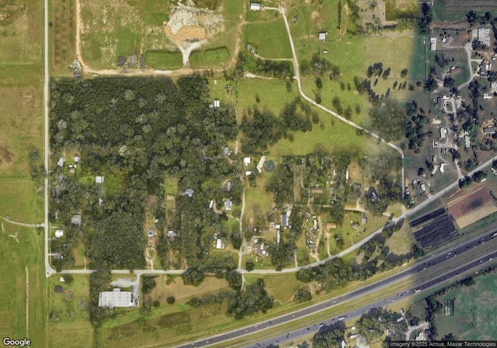
Map
Nearby Homes
- 920 Brinwood Dr
- 502 Calhoun Ave
- 603 U S 92
- 215 Fern Gulley Dr
- 769 Parsons Mooring Ct
- 728 Parsons Mooring Ct
- 762 Parsons Mooring Ct
- 788 Parsons Mooring Ct
- 719 Vineyard Reserve Ct
- 821 Walnut Dr
- 801 N Kingsway Rd
- 634 Auxerre Cir Unit 634AC
- 503 de Resine Carre St Unit 503DR
- 403 Thicket Crest Rd
- 408 Thicket Crest Rd
- 1502 E T Hitte Trail
- 605 de Resine Carre St Unit 605DR
- 608 Clairvaux Rue
- 801 Walnut Dr
- 308 Abyhara Ave Unit 308
- 1250 N Parsons Ave
- 1312 N Parsons Ave
- 901 Sligh Ave
- Lettie Ln
- Lettie Ln
- Lettie Ln
- 0 Lettie Ln Unit T2768652
- 337 Lettie Ln
- 1202 N Parsons Ave
- 1201 N Parsons Ave
- 2007 N Parsons Ave
- 409 Sligh Ave
- 421 Sligh Ave
- 321 Sligh Ave
- 331 Lettie Ln
- 403 Sligh Ave
- 323 Lettie Ln Unit 323
- 927 Sligh Ave
- 923 Sligh Ave
- 345 Sligh Ave
Your Personal Tour Guide
Ask me questions while you tour the home.