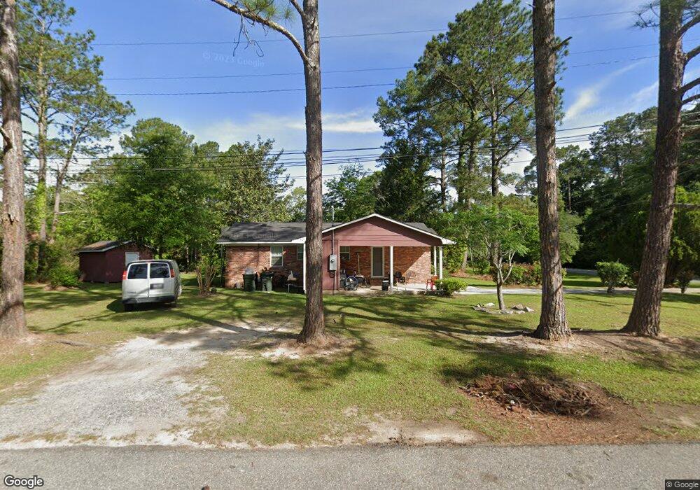
1301 Old Doerun Rd Moultrie, GA 31768
Estimated Value: $59,056 - $98,000
--
Bed
1
Bath
1,075
Sq Ft
$76/Sq Ft
Est. Value
About This Home
This home is located at 1301 Old Doerun Rd, Moultrie, GA 31768 and is currently estimated at $81,764, approximately $76 per square foot. 1301 Old Doerun Rd is a home located in Colquitt County with nearby schools including C.A. Gray Junior High School, Willie J. Williams Middle School, and Colquitt County High School.
Ownership History
Date
Name
Owned For
Owner Type
Purchase Details
Closed on
Nov 8, 2013
Sold by
Hopkins Tangular Y
Bought by
Puc Enterprise Llc
Current Estimated Value
Home Financials for this Owner
Home Financials are based on the most recent Mortgage that was taken out on this home.
Original Mortgage
$24,800
Interest Rate
4.26%
Mortgage Type
New Conventional
Purchase Details
Closed on
Nov 5, 1984
Sold by
Avco Financial Services
Bought by
Hopkins Tangular Y
Purchase Details
Closed on
Aug 17, 1984
Sold by
Weaver Eddie James
Bought by
Avco Financial Services
Create a Home Valuation Report for This Property
The Home Valuation Report is an in-depth analysis detailing your home's value as well as a comparison with similar homes in the area
Home Values in the Area
Average Home Value in this Area
Purchase History
| Date | Buyer | Sale Price | Title Company |
|---|---|---|---|
| Puc Enterprise Llc | $17,000 | -- | |
| Hopkins Tangular Y | $22,000 | -- | |
| Avco Financial Services | -- | -- |
Source: Public Records
Mortgage History
| Date | Status | Borrower | Loan Amount |
|---|---|---|---|
| Closed | Puc Enterprise Llc | $24,800 |
Source: Public Records
Tax History Compared to Growth
Tax History
| Year | Tax Paid | Tax Assessment Tax Assessment Total Assessment is a certain percentage of the fair market value that is determined by local assessors to be the total taxable value of land and additions on the property. | Land | Improvement |
|---|---|---|---|---|
| 2024 | $437 | $16,276 | $1,200 | $15,076 |
| 2023 | $491 | $18,505 | $1,200 | $17,305 |
| 2022 | $596 | $17,789 | $1,200 | $16,589 |
| 2021 | $538 | $15,861 | $1,200 | $14,661 |
| 2020 | $547 | $15,861 | $1,200 | $14,661 |
| 2019 | $616 | $15,861 | $1,200 | $14,661 |
| 2018 | $633 | $15,861 | $1,200 | $14,661 |
| 2017 | $609 | $15,861 | $1,200 | $14,661 |
| 2016 | $633 | $15,861 | $1,200 | $14,661 |
| 2015 | $635 | $15,861 | $1,200 | $14,661 |
| 2014 | $279 | $15,861 | $1,200 | $14,661 |
| 2013 | -- | $15,861 | $1,200 | $14,661 |
Source: Public Records
Map
Nearby Homes
- 1208 Maple St
- 722 Martin Luther King jr Dr
- 615 1st St NW
- 316 5th Ave NW
- 521 5th Ave NW
- 503 2nd St NW
- 417 9th St NW
- 408 9th St NW
- 0 S U Highway 319 N
- 614 2nd Ave NW
- 410 W Bypass Pass NW
- 610 1st Ave NW
- 410 West Bypass NW
- 310 1st Ave SW
- 1321 Hallmark Dr
- 00 1st Ave SW
- 15,23,27 29th Ave NW
- 118 5th St SW
- 618 2nd Ave SW
- 107 30th Ave NW
- 1307 Old Doerun Rd
- 1308 Bay Leaf Dr
- 1311 Old Doerun Rd
- 1307 Bay Leaf Dr
- 1219 Old Doerun Rd
- 1312 Bay Leaf Dr
- 1315 Old Doerun Rd
- 13 Willow Ln
- 1311 Bay Leaf Dr
- 1313 Bay Leaf Dr
- 1215 Old Doerun Rd
- 1212 Maple St
- 1211 Maple St
- 632 Oak Cir
- 628 Oak Cir
- 17 Willow Ln
- 624 Oak Cir
- 1211 Old Doerun Rd
- 620 Oak Cir
- 14 Willow Ln