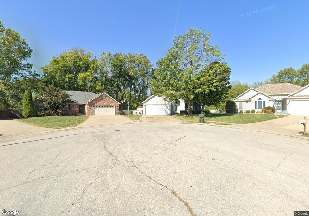
1301 Shamrock Ct Warrensburg, MO 64093
Estimated Value: $312,210 - $379,000
--
Bed
--
Bath
2,573
Sq Ft
$135/Sq Ft
Est. Value
About This Home
This home is located at 1301 Shamrock Ct, Warrensburg, MO 64093 and is currently estimated at $348,053, approximately $135 per square foot. 1301 Shamrock Ct is a home located in Johnson County with nearby schools including Maple Grove Elementary School, Martin Warren Elementary School, and Warrensburg Middle School.
Ownership History
Date
Name
Owned For
Owner Type
Purchase Details
Closed on
Aug 6, 2020
Sold by
Ward Kevin D and Ward Lani E
Bought by
K & L Rentals Series 1301 Llc
Current Estimated Value
Purchase Details
Closed on
Feb 12, 2010
Sold by
Heath Chad D and Heath Amy W
Bought by
Ward Kevin D and Ward Lani E
Home Financials for this Owner
Home Financials are based on the most recent Mortgage that was taken out on this home.
Original Mortgage
$142,500
Interest Rate
4.18%
Mortgage Type
New Conventional
Create a Home Valuation Report for This Property
The Home Valuation Report is an in-depth analysis detailing your home's value as well as a comparison with similar homes in the area
Home Values in the Area
Average Home Value in this Area
Purchase History
| Date | Buyer | Sale Price | Title Company |
|---|---|---|---|
| K & L Rentals Series 1301 Llc | -- | None Available | |
| Ward Kevin D | -- | None Available |
Source: Public Records
Mortgage History
| Date | Status | Borrower | Loan Amount |
|---|---|---|---|
| Previous Owner | Ward Kevin D | $142,500 |
Source: Public Records
Tax History Compared to Growth
Tax History
| Year | Tax Paid | Tax Assessment Tax Assessment Total Assessment is a certain percentage of the fair market value that is determined by local assessors to be the total taxable value of land and additions on the property. | Land | Improvement |
|---|---|---|---|---|
| 2024 | $2,588 | $33,887 | $0 | $0 |
| 2023 | $2,588 | $33,887 | $0 | $0 |
| 2022 | $2,498 | $32,563 | $0 | $0 |
| 2021 | $2,489 | $32,563 | $0 | $0 |
| 2020 | $2,414 | $31,235 | $0 | $0 |
| 2019 | $2,412 | $31,235 | $0 | $0 |
| 2017 | $2,406 | $31,235 | $0 | $0 |
| 2016 | $2,139 | $30,134 | $0 | $0 |
| 2015 | $2,197 | $30,134 | $0 | $0 |
| 2014 | -- | $30,134 | $0 | $0 |
Source: Public Records
Map
Nearby Homes
- 1309 Kimberly Dr
- 1415 Kimberly Dr
- tbd Hamilton St
- 991 S Mitchell St
- 1101 Anderson St
- 1111 Tyler St
- 706 Cedar Dr Unit B
- 1112 Anderson St
- 1007 Vest Dr
- 1106 S Mitchell St
- 810 Vest Dr
- 1008 Anderson St
- 507 Larkin Ct
- 411 7th Terrace
- 153 SE 125 Rd
- 503 Quail Trail
- 404 7th Street Terrace
- 428 Swallow N A
- 1595 Essex Dr
- 712 E Market St
- 1303 Shamrock Ct
- 1305 Shamrock Ct
- 1302 Shamrock Ct
- 710 Shamrock Ln
- 708 Shamrock Ln
- 714 Shamrock Ln
- 1307 Shamrock Ct
- 712 Shamrock Ln
- 1303 Kimberly Dr
- 1306 Shamrock Ct
- 706 Shamrock Ln
- 1308 Shamrock Ct
- 1305 Kimberly Dr
- 1301 Kimberly Dr
- 724 Shamrock Ln
- 1307 Kimberly Dr
- 704 Shamrock Ln
- 715 Shamrock Ln
- 717 Shamrock Ln
- 713 Shamrock Ln