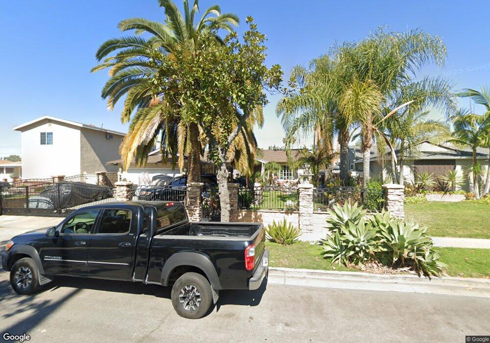
1301 W Baker Ave Fullerton, CA 92833
Estimated Value: $888,000 - $1,053,000
4
Beds
2
Baths
1,268
Sq Ft
$741/Sq Ft
Est. Value
About This Home
This home is located at 1301 W Baker Ave, Fullerton, CA 92833 and is currently estimated at $939,634, approximately $741 per square foot. 1301 W Baker Ave is a home located in Orange County with nearby schools including Orangethorpe Elementary School, Nicolas Junior High School, and Fullerton Union High School.
Ownership History
Date
Name
Owned For
Owner Type
Purchase Details
Closed on
Feb 1, 2000
Sold by
Theodore Manchego and Theodore Denise
Bought by
Flores Jose O and Flores Lilia
Current Estimated Value
Home Financials for this Owner
Home Financials are based on the most recent Mortgage that was taken out on this home.
Original Mortgage
$170,900
Interest Rate
8.34%
Purchase Details
Closed on
Dec 3, 1996
Sold by
Va
Bought by
Manchego Theodore J and Manchego Denise M
Home Financials for this Owner
Home Financials are based on the most recent Mortgage that was taken out on this home.
Original Mortgage
$141,900
Interest Rate
7.86%
Purchase Details
Closed on
Jul 17, 1996
Sold by
Bank Of America Nt & Sa
Bought by
Va
Purchase Details
Closed on
Jul 1, 1996
Sold by
Scruggs J D J and Scruggs Helga K
Bought by
Bank Of America Nt & Sa
Create a Home Valuation Report for This Property
The Home Valuation Report is an in-depth analysis detailing your home's value as well as a comparison with similar homes in the area
Home Values in the Area
Average Home Value in this Area
Purchase History
| Date | Buyer | Sale Price | Title Company |
|---|---|---|---|
| Flores Jose O | $190,000 | North American Title Co | |
| Manchego Theodore J | $142,500 | Continental Lawyers Title Co | |
| Va | -- | Fidelity National Title Ins | |
| Bank Of America Nt & Sa | $124,547 | Fidelity National Title Ins |
Source: Public Records
Mortgage History
| Date | Status | Borrower | Loan Amount |
|---|---|---|---|
| Previous Owner | Flores Jose O | $170,900 | |
| Previous Owner | Manchego Theodore J | $141,900 |
Source: Public Records
Tax History Compared to Growth
Tax History
| Year | Tax Paid | Tax Assessment Tax Assessment Total Assessment is a certain percentage of the fair market value that is determined by local assessors to be the total taxable value of land and additions on the property. | Land | Improvement |
|---|---|---|---|---|
| 2025 | $3,370 | $291,860 | $214,852 | $77,008 |
| 2024 | $3,370 | $286,138 | $210,639 | $75,499 |
| 2023 | $3,285 | $280,528 | $206,509 | $74,019 |
| 2022 | $3,258 | $275,028 | $202,460 | $72,568 |
| 2021 | $3,201 | $269,636 | $198,490 | $71,146 |
| 2020 | $3,182 | $266,872 | $196,455 | $70,417 |
| 2019 | $3,102 | $261,640 | $192,603 | $69,037 |
| 2018 | $3,055 | $256,510 | $188,826 | $67,684 |
| 2017 | $3,003 | $251,481 | $185,124 | $66,357 |
| 2016 | $2,941 | $246,550 | $181,494 | $65,056 |
| 2015 | $2,860 | $242,847 | $178,768 | $64,079 |
| 2014 | $2,778 | $238,090 | $175,266 | $62,824 |
Source: Public Records
Map
Nearby Homes
- 1507 S Lovering Ave
- 1519 S Lovering Ave
- 1425 W Woodcrest Ave
- 1512 S Lovering Ave
- 1206 W Porter Ave
- 1148 W Porter Ave
- 1919 W Coronet Ave Unit 79
- 1919 W Coronet Ave
- 1919 W Coronet Ave Unit 126
- 1919 W Coronet Ave Unit 221
- 1919 W Coronet Ave Unit 122
- 1919 W Coronet Ave Unit 75
- 1919 W Coronet Ave Unit 132
- 1919 W Coronet Ave Unit 164
- 1919 W Coronet Ave Unit 208
- 1919 W Coronet Ave Unit 143
- 1919 W Coronet Ave Unit 203
- 1311 Clementine Way
- 1137 W Porter Ave
- 1302 N Mako Ln Unit 2
- 1237 W Baker Ave
- 1307 W Baker Ave
- 1236 W Gage Ave
- 1306 W Gage Ave
- 1231 W Baker Ave
- 1313 W Baker Ave
- 1300 W Baker Ave
- 1312 W Gage Ave
- 1230 W Gage Ave
- 1236 W Baker Ave
- 1306 W Baker Ave
- 1317 W Baker Ave
- 1227 W Baker Ave
- 1230 W Baker Ave
- 1316 W Gage Ave
- 1226 W Gage Ave
- 1312 W Baker Ave
- 1226 W Baker Ave
- 1323 W Baker Ave
- 1223 W Baker Ave