13015 297th Ave Princeton, MN 55371
Estimated Value: $425,000 - $479,000
2
Beds
2
Baths
1,623
Sq Ft
$282/Sq Ft
Est. Value
About This Home
This home is located at 13015 297th Ave, Princeton, MN 55371 and is currently estimated at $457,000, approximately $281 per square foot. 13015 297th Ave is a home located in Sherburne County with nearby schools including Princeton Primary School, Princeton Intermediate School, and Princeton Middle School.
Ownership History
Date
Name
Owned For
Owner Type
Purchase Details
Closed on
Oct 6, 2021
Sold by
Goskey Donna M
Bought by
Kasper John B
Current Estimated Value
Purchase Details
Closed on
Apr 7, 2016
Sold by
Kasper John B and Goskey Donna M
Bought by
Kasper John B and Goskey Donna M
Purchase Details
Closed on
Jun 12, 2015
Sold by
Olsen Joseph E and Olsen Evelyn
Bought by
Kasper John B and Goskey Donna M
Purchase Details
Closed on
Mar 27, 2007
Sold by
Eklund Ronald F and Eklund Jo S
Bought by
Olsen Joseph E and Olsen Evelyn P
Purchase Details
Closed on
Oct 25, 1996
Sold by
D R Burger Co Inc
Bought by
Ecklund Ronald F and Ecklund Jo S
Create a Home Valuation Report for This Property
The Home Valuation Report is an in-depth analysis detailing your home's value as well as a comparison with similar homes in the area
Home Values in the Area
Average Home Value in this Area
Purchase History
| Date | Buyer | Sale Price | Title Company |
|---|---|---|---|
| Kasper John B | -- | None Available | |
| Kasper John B | -- | Attorney | |
| Kasper John B | $234,000 | First American Title Company | |
| Olsen Joseph E | $254,900 | -- | |
| Ecklund Ronald F | $152,200 | -- |
Source: Public Records
Tax History Compared to Growth
Tax History
| Year | Tax Paid | Tax Assessment Tax Assessment Total Assessment is a certain percentage of the fair market value that is determined by local assessors to be the total taxable value of land and additions on the property. | Land | Improvement |
|---|---|---|---|---|
| 2025 | $3,354 | $413,500 | $132,700 | $280,800 |
| 2024 | $3,404 | $404,500 | $120,900 | $283,600 |
| 2023 | $3,360 | $417,200 | $120,900 | $296,300 |
| 2022 | $3,126 | $404,900 | $108,200 | $296,700 |
| 2020 | $2,814 | $294,300 | $60,200 | $234,100 |
| 2019 | $2,674 | $266,700 | $55,600 | $211,100 |
| 2018 | $2,624 | $248,900 | $51,400 | $197,500 |
| 2017 | $2,386 | $233,500 | $49,900 | $183,600 |
| 2016 | $2,208 | $217,600 | $44,300 | $173,300 |
| 2015 | $1,946 | $180,500 | $38,700 | $141,800 |
| 2014 | $1,740 | $158,300 | $32,700 | $125,600 |
| 2013 | -- | $142,800 | $30,400 | $112,400 |
Source: Public Records
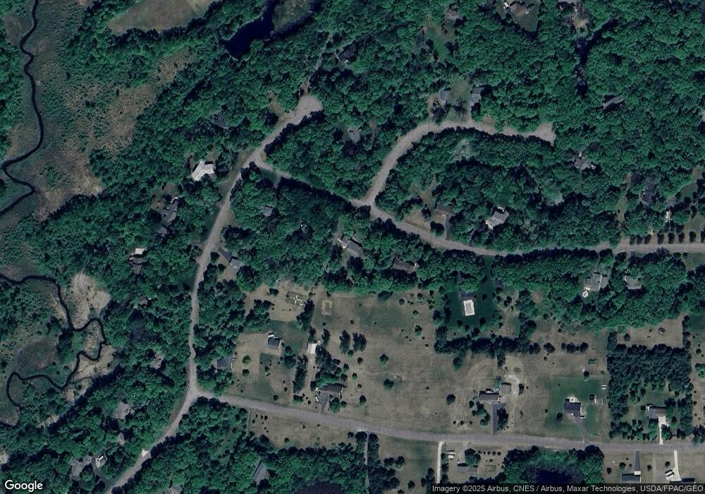
Map
Nearby Homes
- 29708 131st St
- 13396 295th Ave NW
- 12901 295th Ave NW
- 29441 136th St
- LOT 2, BLK 4 131st St NW
- 13940 301st Ave
- 30712 128th St NW
- TBD 288th Ave NW
- 28840 Highway 169
- 30668 139th St NW
- 28945 120th St
- 28337 134th St NW
- XXX 283rd Ave NW
- 12314 283rd Ave NW
- 28308 125th St NW
- 13037 314th Ave NW
- 28510 142nd St NW
- XXX Lot 3 283rd Ave NW
- 30801 144th St NW
- 28222 Elk Lake Rd E
- 12945 297th Ave
- 13035 297th Ave
- 12942 297th Ave
- 29627 131st St
- 12933 297th Ave
- 13010 296th Ave NW
- 12930 297th Ave
- 12930 297th Ave
- 29611 131st St
- 29720 131st St
- 29636 131st St
- 29734 131st St
- 29734 131st St
- 12938 297th Cir
- 12934 296th Ave NW
- 29648 131st St
- 29624 131st St
- 29602 131st St
- 12935 299th Ave NW
- 12935 299th Ave NW