Estimated Value: $329,000 - $523,000
3
Beds
3
Baths
2,910
Sq Ft
$139/Sq Ft
Est. Value
About This Home
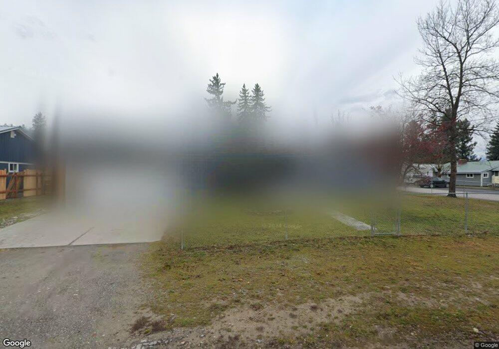
This home is located at 1302 Airth 59923 Ave, Libby, MT 59923 and is currently estimated at $403,133, approximately $138 per square foot. 1302 Airth 59923 Ave is a home located in Lincoln County with nearby schools including Libby Elementary School, Libby High School, and Kootenai Valley Christian School.
Ownership History
Date
Name
Owned For
Owner Type
Purchase Details
Closed on
Dec 21, 2021
Sold by
Leske Jacob
Bought by
Hebert Danielle and Breedlove Michael
Current Estimated Value
Home Financials for this Owner
Home Financials are based on the most recent Mortgage that was taken out on this home.
Original Mortgage
$308,750
Outstanding Balance
$283,471
Interest Rate
2.98%
Mortgage Type
New Conventional
Estimated Equity
$119,662
Purchase Details
Closed on
Oct 23, 2017
Sold by
Fosgate Lonnie
Bought by
Teske Jacob
Home Financials for this Owner
Home Financials are based on the most recent Mortgage that was taken out on this home.
Original Mortgage
$132,000
Interest Rate
3.78%
Mortgage Type
VA
Purchase Details
Closed on
May 30, 2008
Sold by
Voeller Jack E and Voeller Susan E
Bought by
Laffoon Michael R and Laffoon Sandra A
Create a Home Valuation Report for This Property
The Home Valuation Report is an in-depth analysis detailing your home's value as well as a comparison with similar homes in the area
Home Values in the Area
Average Home Value in this Area
Purchase History
| Date | Buyer | Sale Price | Title Company |
|---|---|---|---|
| Hebert Danielle | -- | First American Title Libby | |
| Teske Jacob | -- | First American Title Company | |
| Laffoon Michael R | -- | None Available |
Source: Public Records
Mortgage History
| Date | Status | Borrower | Loan Amount |
|---|---|---|---|
| Open | Hebert Danielle | $308,750 | |
| Previous Owner | Teske Jacob | $132,000 |
Source: Public Records
Tax History
| Year | Tax Paid | Tax Assessment Tax Assessment Total Assessment is a certain percentage of the fair market value that is determined by local assessors to be the total taxable value of land and additions on the property. | Land | Improvement |
|---|---|---|---|---|
| 2025 | $1,296 | $347,200 | $0 | $0 |
| 2024 | $1,945 | $298,000 | $0 | $0 |
| 2023 | $2,470 | $298,000 | $0 | $0 |
| 2022 | $1,344 | $174,100 | $0 | $0 |
| 2021 | $1,368 | $143,900 | $0 | $0 |
| 2020 | $1,433 | $125,000 | $0 | $0 |
| 2019 | $1,417 | $125,000 | $0 | $0 |
| 2018 | $1,339 | $113,900 | $0 | $0 |
| 2017 | $1,300 | $138,000 | $0 | $0 |
| 2016 | $1,256 | $106,000 | $0 | $0 |
| 2015 | $865 | $116,000 | $0 | $0 |
| 2014 | $1,124 | $77,327 | $0 | $0 |
Source: Public Records
Map
Nearby Homes
- 1511 Main Ave
- 205 W Poplar St
- 1221 Utah Ave
- 919 Mineral Ave
- 1210 Dakota Ave
- 1009 Idaho Ave
- 1120 Nevada Ave
- 1504 Dakota Ave
- Nhn Montana 37
- 36811 U S Highway 2
- 62264 U S Highway 2
- NHN U S Highway 2
- 808 Mineral Ave
- 505 E 10th St
- 804 Mineral Ave
- 1507 Custer Ave
- 101 E Lincoln Blvd
- 118 E Lincoln Blvd
- 613 Montana Ave
- 609 Minnesota Ave
- 1302 Airth Ave
- 1304 Airth Ave
- 1306 Airth Ave
- 1305 Airth Ave
- 112 W Balsam St
- 1309 Airth Ave
- 213 W Balsam St
- 111 W Balsam St
- 208 W Balsam St
- 206 W Poplar St
- 110 W Balsam St
- 210 W Poplar St
- 210 W Balsam St
- 106 W Balsam St
- 118 W Poplar St
- 103 W Balsam St
- 203 W Larch St Unit 1
- 218 W Poplar St
- 104 W Balsam St
- 131 W Larch St
Your Personal Tour Guide
Ask me questions while you tour the home.