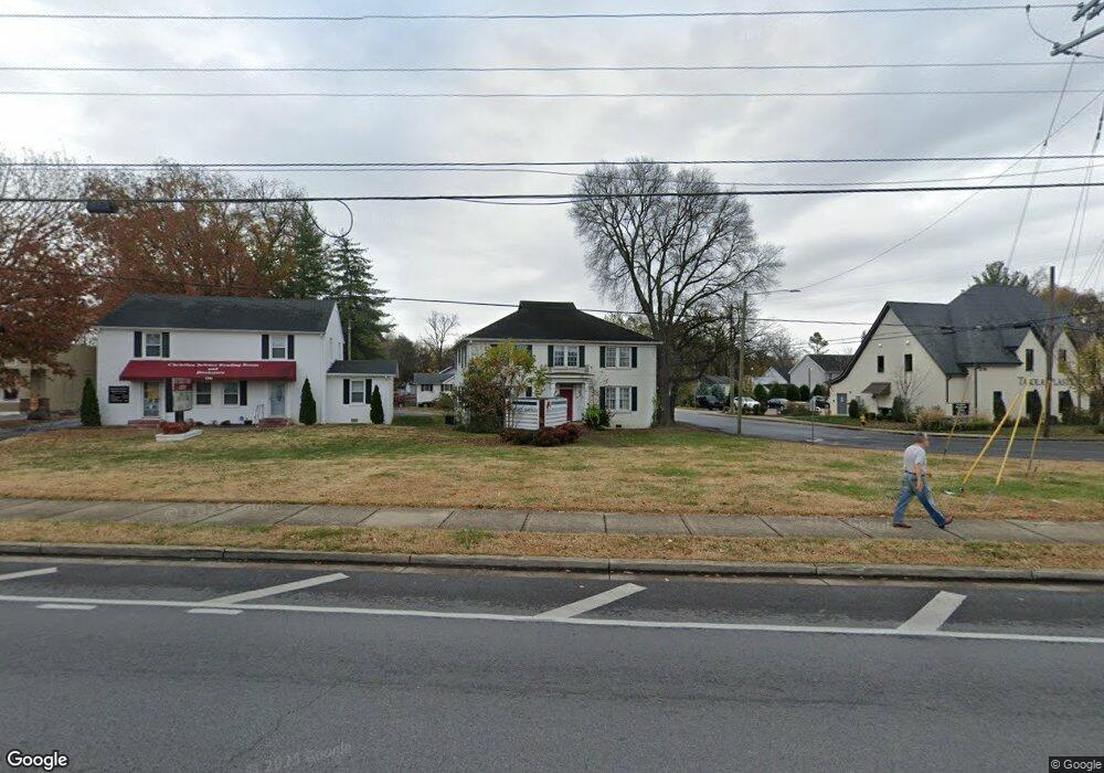
1302 Memorial Blvd Murfreesboro, TN 37129
Estimated Value: $532,166
--
Bed
2
Baths
2,881
Sq Ft
$185/Sq Ft
Est. Value
About This Home
This home is located at 1302 Memorial Blvd, Murfreesboro, TN 37129 and is currently estimated at $532,166, approximately $184 per square foot. 1302 Memorial Blvd is a home located in Rutherford County with nearby schools including Mitchell-Neilson Elementary, Siegel Middle School, and Siegel High School.
Ownership History
Date
Name
Owned For
Owner Type
Purchase Details
Closed on
Sep 14, 2021
Sold by
Dillon Richard W and Dillon Linda B
Bought by
Southlanders Llc
Current Estimated Value
Purchase Details
Closed on
Jan 11, 2013
Sold by
Collier Rucker Diana
Bought by
Dillon Richard W Linda B
Home Financials for this Owner
Home Financials are based on the most recent Mortgage that was taken out on this home.
Original Mortgage
$160,000
Interest Rate
3.36%
Mortgage Type
Commercial
Create a Home Valuation Report for This Property
The Home Valuation Report is an in-depth analysis detailing your home's value as well as a comparison with similar homes in the area
Home Values in the Area
Average Home Value in this Area
Purchase History
| Date | Buyer | Sale Price | Title Company |
|---|---|---|---|
| Southlanders Llc | $441,100 | None Available | |
| Dillon Richard W Linda B | $200,000 | -- |
Source: Public Records
Mortgage History
| Date | Status | Borrower | Loan Amount |
|---|---|---|---|
| Previous Owner | Dillon Richard W Linda B | $160,000 |
Source: Public Records
Tax History Compared to Growth
Tax History
| Year | Tax Paid | Tax Assessment Tax Assessment Total Assessment is a certain percentage of the fair market value that is determined by local assessors to be the total taxable value of land and additions on the property. | Land | Improvement |
|---|---|---|---|---|
| 2025 | $4,671 | $165,100 | $65,320 | $99,780 |
| 2024 | $4,671 | $165,100 | $65,320 | $99,780 |
| 2023 | $3,098 | $165,100 | $65,320 | $99,780 |
| 2022 | $2,668 | $165,100 | $65,320 | $99,780 |
| 2021 | $2,093 | $94,300 | $39,600 | $54,700 |
| 2020 | $2,093 | $94,300 | $39,600 | $54,700 |
| 2019 | $2,093 | $94,300 | $39,600 | $54,700 |
| 2018 | $2,875 | $94,300 | $0 | $0 |
| 2017 | $3,182 | $81,880 | $0 | $0 |
| 2016 | $3,182 | $81,880 | $0 | $0 |
| 2015 | $3,182 | $81,880 | $0 | $0 |
| 2014 | $2,036 | $81,880 | $0 | $0 |
| 2013 | -- | $89,920 | $0 | $0 |
Source: Public Records
Map
Nearby Homes
- 1019 N Maple St Unit 2D
- 906 N Maple St
- 904 N Maple St
- 301 Kingwood Dr
- 1107 Owen Layne Dr
- 1116 Owen Layne Dr
- 814 N Church St
- 717 N Church St
- 1007 Grantland Ave
- 608 Lynn St
- 0 Lebanon Pike Unit RTC2818012
- 804 N Academy St
- 418 Winfrey Dr
- 219 Ridgecrest Dr
- 0 Sulphur Springs Rd
- 210 Grandview Dr
- 1006 Jones Blvd
- 446 Roberts St
- 513 N Maple St
- 725 N Highland Ave
- 1304 Memorial Blvd Unit 1306
- 114 W Mcknight Dr
- 1216 N Maple St
- 110 W Mcknight Dr
- 103 W Mcknight Dr
- 106 W Mcknight Dr
- 1208 N Maple St
- 101 W Mcknight Dr
- 101 W Mcknight Dr
- 1211 N Church St Unit A
- 1211 N Church St Unit B
- 102 W Mcknight Dr
- 1211A N Church St Unit B
- 1204 N Maple St
- 1207 N Church St
- 102 E Mcknight Dr
- 103 E Mcknight Dr
- 1202 N Maple St
- 104 E Mcknight Dr
- 1203 N Church St