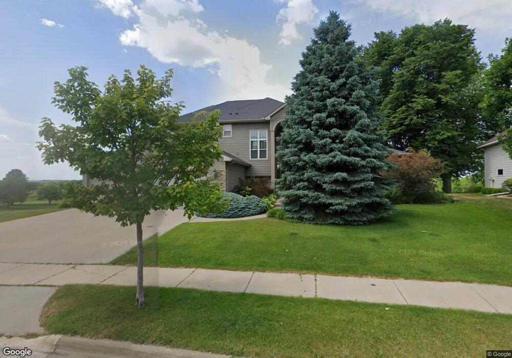
1302 Newhall Dr Faribault, MN 55021
Estimated Value: $655,000 - $856,000
6
Beds
2
Baths
3,356
Sq Ft
$224/Sq Ft
Est. Value
About This Home
This home is located at 1302 Newhall Dr, Faribault, MN 55021 and is currently estimated at $751,343, approximately $223 per square foot. 1302 Newhall Dr is a home located in Rice County with nearby schools including Roosevelt Elementary School, Faribault Middle School, and Faribault Senior High School.
Ownership History
Date
Name
Owned For
Owner Type
Purchase Details
Closed on
Oct 4, 2019
Sold by
Highland S Legacy Llc
Bought by
Sinz Harry C and Sinz Vicki R
Current Estimated Value
Purchase Details
Closed on
Mar 26, 2004
Sold by
The Windwood Co Inc
Bought by
Sinz Harry C and Sinz Vicki R
Purchase Details
Closed on
Dec 14, 1998
Sold by
Legacy Land Development Company
Bought by
Bisping Jerry and Bisping Sharon
Create a Home Valuation Report for This Property
The Home Valuation Report is an in-depth analysis detailing your home's value as well as a comparison with similar homes in the area
Home Values in the Area
Average Home Value in this Area
Purchase History
| Date | Buyer | Sale Price | Title Company |
|---|---|---|---|
| Sinz Harry C | -- | North American Title Co | |
| Sinz Harry C | $848,972 | -- | |
| Bisping Jerry | $59,500 | -- |
Source: Public Records
Tax History
| Year | Tax Paid | Tax Assessment Tax Assessment Total Assessment is a certain percentage of the fair market value that is determined by local assessors to be the total taxable value of land and additions on the property. | Land | Improvement |
|---|---|---|---|---|
| 2025 | $10,088 | $796,100 | $92,100 | $704,000 |
| 2024 | $10,088 | $742,700 | $80,000 | $662,700 |
| 2023 | $8,744 | $742,700 | $80,000 | $662,700 |
| 2022 | $7,928 | $683,300 | $77,600 | $605,700 |
| 2021 | $8,262 | $590,800 | $67,900 | $522,900 |
| 2020 | $7,886 | $608,600 | $75,100 | $533,500 |
| 2019 | $7,940 | $594,600 | $87,200 | $507,400 |
| 2018 | $7,770 | $590,500 | $109,700 | $480,800 |
| 2017 | $7,514 | $566,500 | $109,700 | $456,800 |
| 2016 | $7,154 | $535,200 | $109,700 | $425,500 |
| 2015 | $6,690 | $505,300 | $109,700 | $395,600 |
| 2014 | -- | $497,300 | $109,700 | $387,600 |
Source: Public Records
Map
Nearby Homes
- 1107 Shumway Ct
- 2038 Legacy Dr
- 905 Orchard Heights Ct
- 1322 1st Ave NE
- 16 14th St NW
- 2110 Goldenray Dr
- 2140 Violet Ln
- 15 14th St NE
- 1195 Ivy Way
- 1102 1st Ave NW
- 210 6th Ave NE
- 210 5th Ave NE
- 227 3rd Ave NE
- 14xx Division St E
- 337 14th St NW
- 416 8th St NW
- 1105 2nd St SE
- 501 Seabury Ln
- 118 2nd Ave NW
- 15 1st St SE
- 1306 Newhall Dr
- 1216 Newhall Dr
- 1305 Newhall Dr
- 1213 Newhall Dr
- 1310 Newhall Dr
- 1212 Newhall Dr
- 1309 Newhall Dr
- 1209 Newhall Dr
- 1314 Newhall Dr
- 1208 Newhall Dr
- 1315 Newhall Dr
- 1205 Newhall Dr
- 1204 Newhall Dr
- 1320 11th Ave NE
- 1400 11th Ave NE
- 1113 Newhall Dr
- 1114 Newhall Dr
- 1029 Matteson St
- 1408 11th Ave NE
- 1110 Newhall Dr
Your Personal Tour Guide
Ask me questions while you tour the home.