1302 Oak Grove Rd Dickson, TN 37055
Tennessee City NeighborhoodEstimated Value: $558,913 - $658,000
Studio
2
Baths
2,432
Sq Ft
$244/Sq Ft
Est. Value
About This Home
This home is located at 1302 Oak Grove Rd, Dickson, TN 37055 and is currently estimated at $592,971, approximately $243 per square foot. 1302 Oak Grove Rd is a home located in Dickson County with nearby schools including Centennial Elementary School, Dickson Middle School, and Dickson County High School.
Ownership History
Date
Name
Owned For
Owner Type
Purchase Details
Closed on
Jun 26, 2006
Sold by
Sullivan Patrick D
Bought by
Peters Steven C
Current Estimated Value
Home Financials for this Owner
Home Financials are based on the most recent Mortgage that was taken out on this home.
Original Mortgage
$123,068
Outstanding Balance
$72,273
Interest Rate
6.55%
Estimated Equity
$520,698
Purchase Details
Closed on
Mar 17, 1999
Sold by
Sullivan Patrick D and Sullivan Wendy
Bought by
Frantz Steve P and Frantz Stefanie
Purchase Details
Closed on
Mar 15, 1999
Sold by
Sullivan Patrick D and Sullivan Wendy
Bought by
Sullivan Patrick D and Sullivan Wendy
Purchase Details
Closed on
Nov 26, 1955
Bought by
Betty W E
Purchase Details
Closed on
Nov 29, 1933
Create a Home Valuation Report for This Property
The Home Valuation Report is an in-depth analysis detailing your home's value as well as a comparison with similar homes in the area
Home Values in the Area
Average Home Value in this Area
Purchase History
| Date | Buyer | Sale Price | Title Company |
|---|---|---|---|
| Peters Steven C | $125,000 | -- | |
| Frantz Steve P | $28,000 | -- | |
| Sullivan Patrick D | $92,000 | -- | |
| Betty W E | -- | -- | |
| -- | -- | -- |
Source: Public Records
Mortgage History
| Date | Status | Borrower | Loan Amount |
|---|---|---|---|
| Open | Not Available | $123,068 |
Source: Public Records
Tax History
| Year | Tax Paid | Tax Assessment Tax Assessment Total Assessment is a certain percentage of the fair market value that is determined by local assessors to be the total taxable value of land and additions on the property. | Land | Improvement |
|---|---|---|---|---|
| 2025 | $1,642 | $97,150 | $13,400 | $83,750 |
| 2024 | $1,642 | $97,150 | $13,400 | $83,750 |
| 2023 | $1,620 | $68,925 | $7,250 | $61,675 |
| 2022 | $1,620 | $68,925 | $7,250 | $61,675 |
| 2021 | $1,620 | $68,925 | $7,250 | $61,675 |
| 2020 | $1,620 | $68,925 | $7,250 | $61,675 |
| 2019 | $1,620 | $68,925 | $7,250 | $61,675 |
| 2018 | $1,500 | $55,550 | $5,925 | $49,625 |
| 2017 | $1,500 | $55,550 | $5,925 | $49,625 |
| 2016 | $1,500 | $55,550 | $5,925 | $49,625 |
| 2015 | $1,392 | $48,000 | $5,925 | $42,075 |
| 2014 | $1,392 | $48,000 | $5,925 | $42,075 |
Source: Public Records
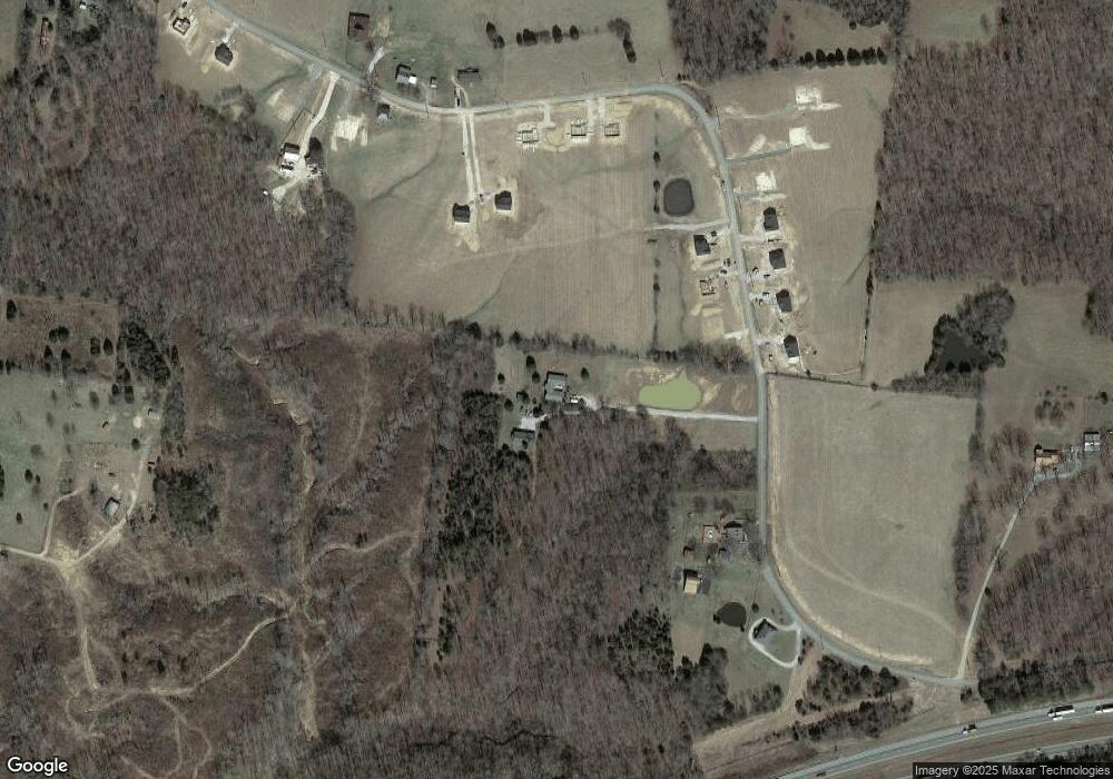
Map
Nearby Homes
- 835 Wells Rd
- 732 Lucas Rd
- 1159 Oak Grove Rd
- 2206 Highway 48 S
- 547 Grindstone Hollow Rd
- 511 Grindstone Hollow Rd
- 2173 Highway 48 S
- 0 Piney Rd
- 122 Deerwood Ct
- 1140 Deerwood Rd
- 1 Hillcrest Rd
- 0 Grindstone Hollow Rd
- 2864 Garners Creek Rd
- 7061 E Plunders Creek Rd
- 1625 Highway 48 S
- 0 Buckner Ridge Rd
- 767 Potter Rd
- 611 Rocky Dr
- 607 Rocky Dr
- 0 Back Piney River Rd
- 1258 Oak Grove Rd
- 1282 Oak Grove Rd
- 1274 Oak Grove Rd
- 1274 Oak Grove Rd
- 1266 Oak Grove Rd
- 1210 Oak Grove Rd
- 1300 Oak Grove Rd
- 1285 Oak Grove Rd
- 1279 Oak Grove Rd
- 1271 Oak Grove Rd
- 1224 Oak Grove Rd
- 1263 Oak Grove Rd
- 0 Harris Rd
- 1202 Oak Grove Rd (Lot 22)
- 1168 Oak Grove Rd
- 1162 Oak Grove Rd
- 1172 Oak Grove Rd
- 1156 Oak Grove Rd
- 1152 Oak Grove Rd
- 1194 Oak Grove Rd
Your Personal Tour Guide
Ask me questions while you tour the home.